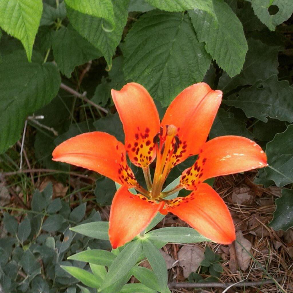
Before the rain comes this evening check out the tons of woods lilies. The flowers won’t likely survive the rain.


Back in 2016, there was a grass fire at Powley Place along the East Canada Creek. I don't know if it occurred before or after the road had opened for the year, but by end of summer there wasn't much evidence of the grass fire as burnt over ground reseeded and grew strong as was before the fire. I just remember being surprised how burnt the area was when I was up there.
Sunday June 26, 2016 — Piseco-Powley Road — Big Alderbed Lake Trail 🗺 — Clockmill Corners to NY 10 🗺 — Edick Road Swimming Hole 🗺 — Goldmine Stream Falls 🗺 — House Pond Trail 🗺 — Lower Powley Bridge to Sugarbush Mountain 🗺 — Meco Lake Trail (Piseco-Powley Road) 🗺 — Overview Map Piseco-Powley Road 🗺 — Piseco Road Swimming Holes 🗺 — Powley Place - East Canada Creek - Kayak Canoe 🗺 — Sand Lake 🗺 — Sand Lake Trail 🗺 — Sugarbush Mountain to Clockmill Corners 🗺— PDF with All Maps 📚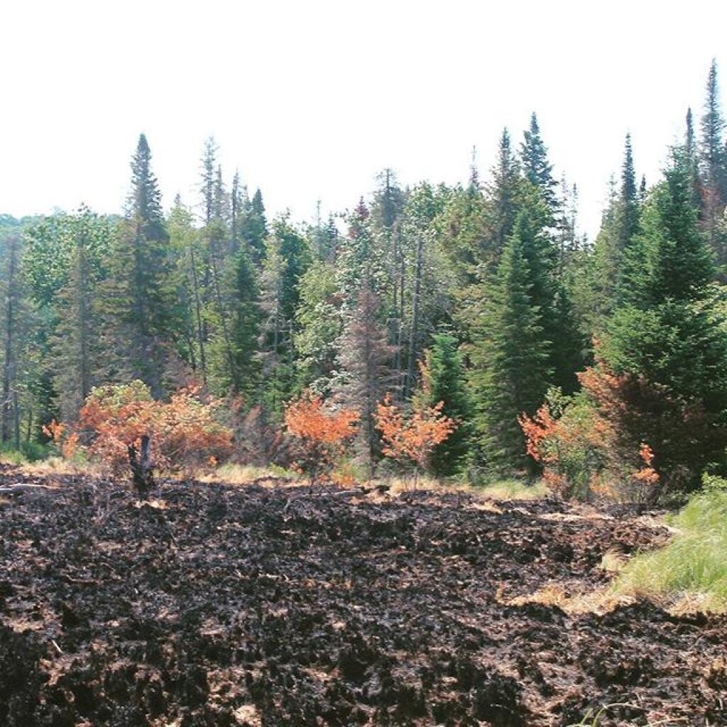


With the first par being the Hitchins Pond and the second part being officially Lows Lake in the Bog River Flow.
Friday July 1, 2011 — Mount Arab — Mount Arab Trail 🗺