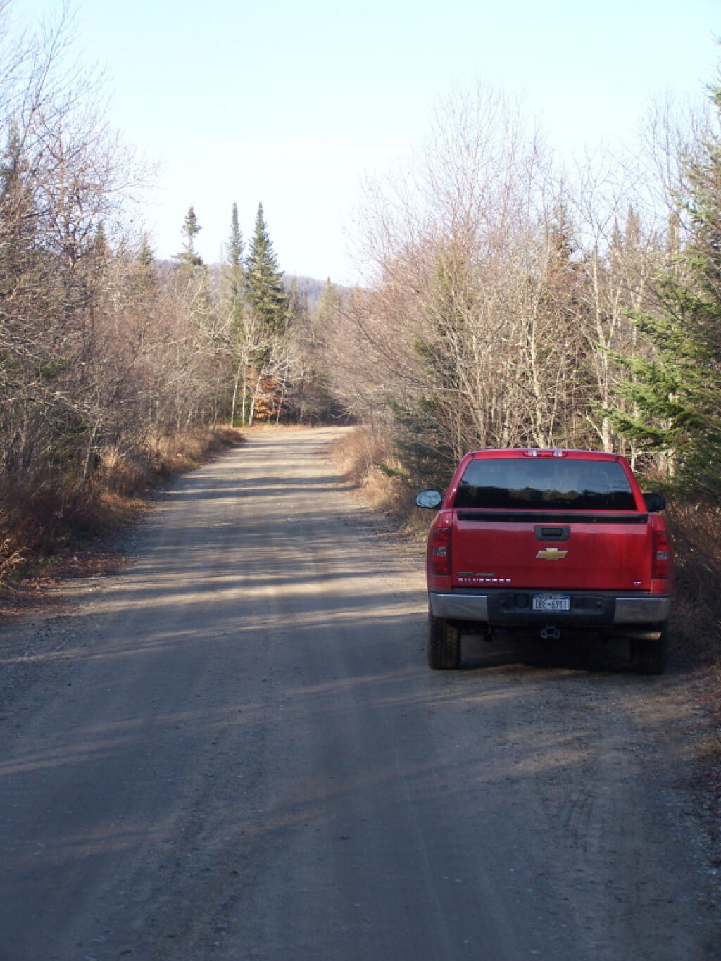
Big Red at Powley Place 🖼️
Download a JPEG Image of the Big Red at Powley Place.
Big Red at Powley Place ...
Hey, for the trip to here from Albany and back, I averaged 19.3 miles per gallon, including spending 22 miles on dirt road, stopping to take pictures, and not taking expressways except for a short section of Thruway between Albany and Schenecady. I was very impressed with Big Red.
Taken on Saturday November 12, 2011 at Piseco-Powley Road.

More about Piseco-Powley Road...
The 17-mile Piseco-Powley Road is a remote dirt route cutting through the Adirondack's Ferris Lake Wild Forest. It features 22 primitive roadside campsites, including four spots at Powley Place where the road crosses the West Branch of the East Canada Creek.
Download the PDF Map Pack with All Maps from Piseco-Powley Road.


")


![Photo: Hot Old Summer Day on East Canada Creek [Expires July 21 2026]](/data/photo_24886_small.jpg "Photo: Hot Old Summer Day on East Canada Creek [Expires July 21 2026]")

