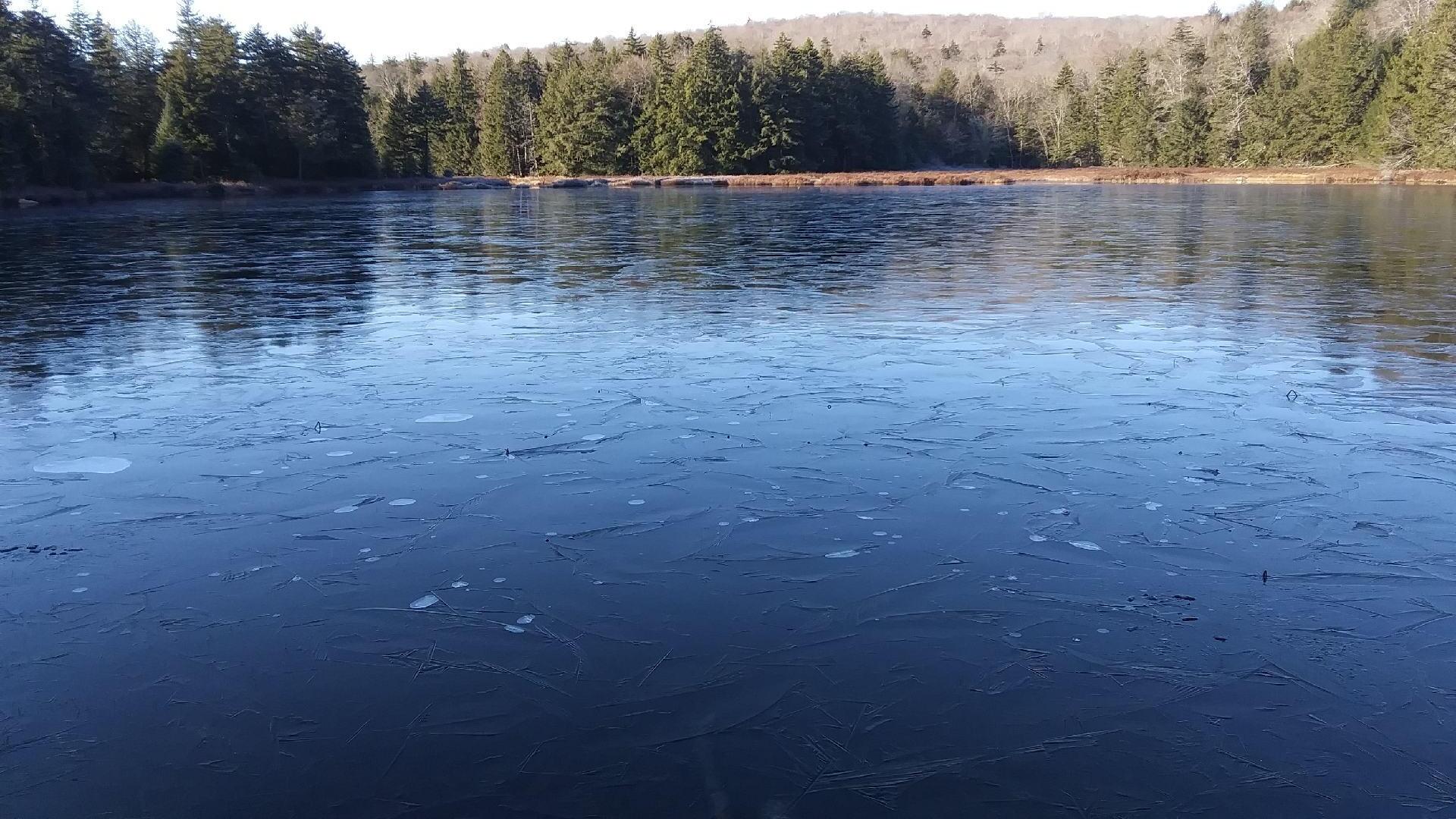
House Pond is Getting Icy ❄ 🖼️
Download a High Resolution JPEG Image of the House Pond is Getting Icy ❄ or an Adobe Acrobat Printable PDF of the House Pond is Getting Icy ❄.
House Pond is Getting Icy ❄ ...
Earlier this morning I hiked to House Pond from camp. A duck 🦆 kept breaking through the ice looking for food.
Taken on Sunday November 29, 2020 at Piseco-Powley Road.

More about Piseco-Powley Road...
The 17-mile Piseco-Powley Road is a remote dirt route cutting through the Adirondack's Ferris Lake Wild Forest. It features 22 primitive roadside campsites, including four spots at Powley Place where the road crosses the West Branch of the East Canada Creek.
Download the PDF Map Pack with All Maps from Piseco-Powley Road.


")


