Flames 🖼️
Download a High Resolution JPEG Image of the Flames or an Adobe Acrobat Printable PDF of the Flames.
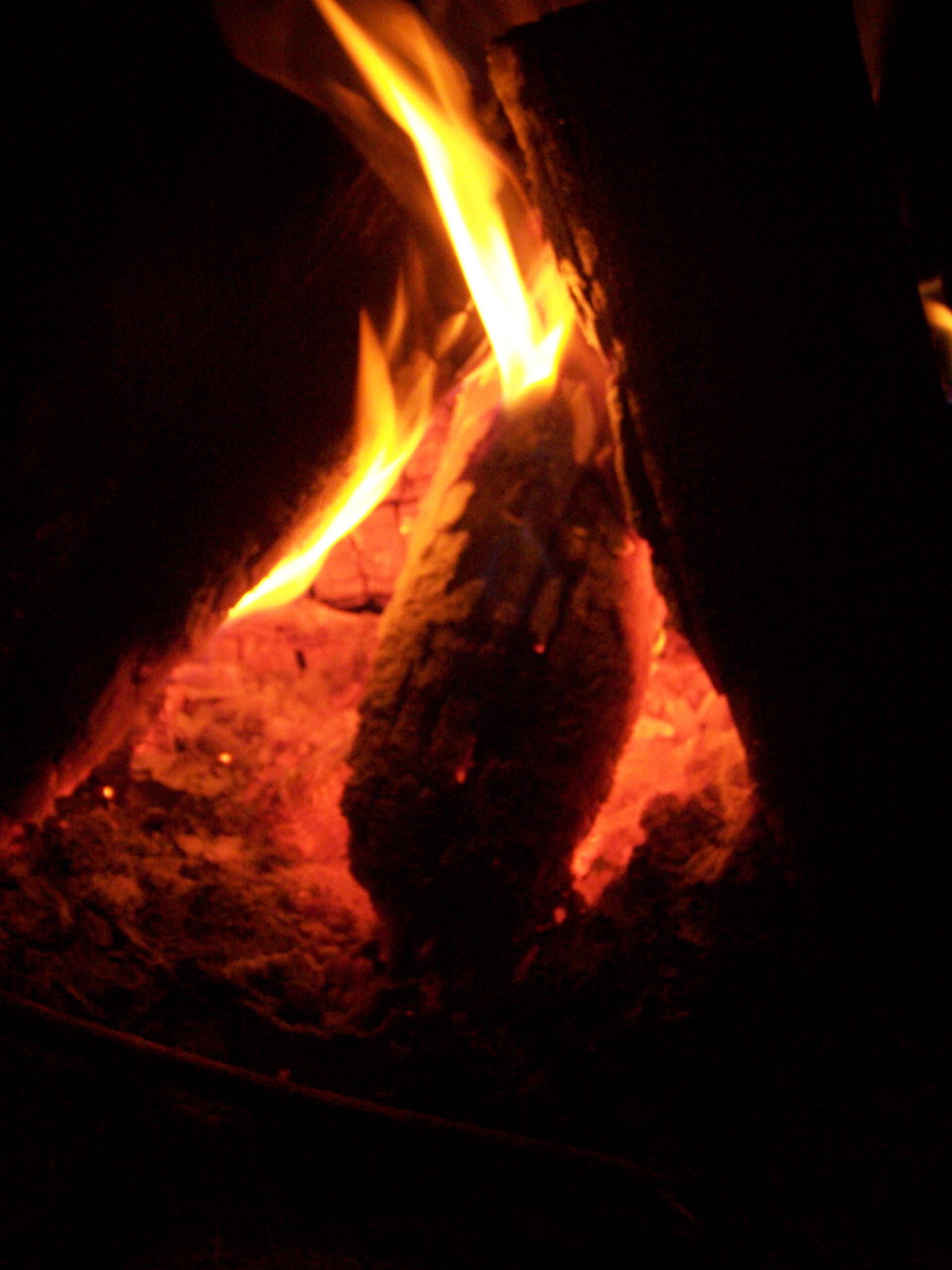
Flames ...
Taken on Friday September 18, 2009 at Fire.

More about Fire...


Download a High Resolution JPEG Image of the Flames or an Adobe Acrobat Printable PDF of the Flames.
Taken on Friday September 18, 2009 at Fire.