Burning Piece of Polysytrene Plastic 🖼️
Download a JPEG Image of the Burning Piece of Polysytrene Plastic.
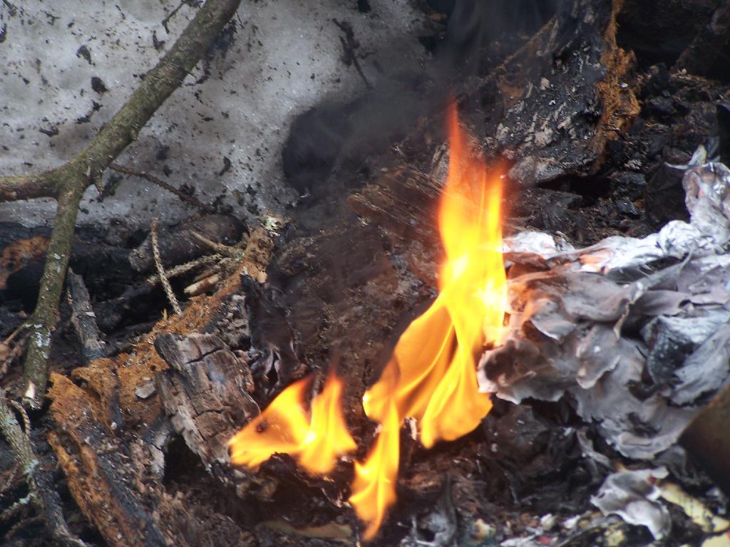
Burning Piece of Polysytrene Plastic ...
Taken on Sunday March 21, 2010 at Fire.

More about Fire...


Download a JPEG Image of the Burning Piece of Polysytrene Plastic.
Taken on Sunday March 21, 2010 at Fire.