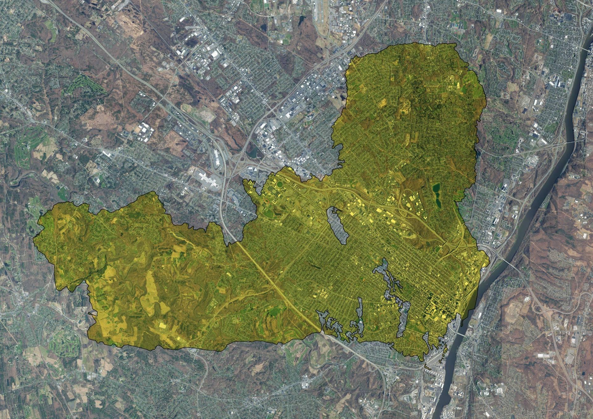
Active Fire Area – Palisades Fire Overlaid Albany 🗺️

Download a High Resolution JPEG Image of the Active Fire Area - Palisades Fire Overlaid Albany or an Adobe Acrobat Printable PDF of the Thematic Active Fire Area - Palisades Fire Overlaid Albany.
About Active Fire Area - Palisades Fire Overlaid Albany ....
Here is an overlay of the Active Fire Area of the CA Palisades Fire, overlaid to the City of Albany (and parts of Guilderland and Colonie).

More about Fire...


