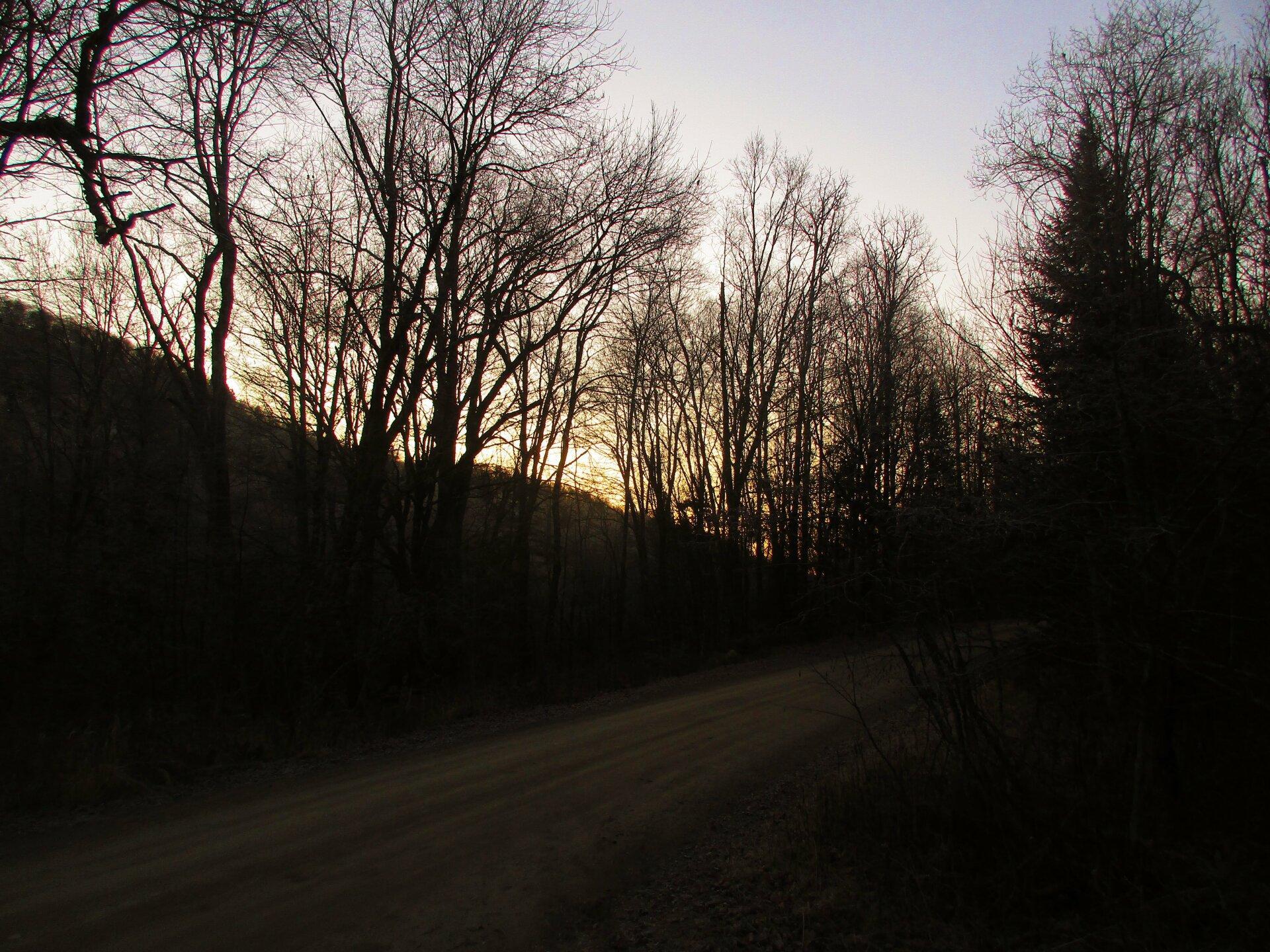
Sun is Low 🖼️
Download a High Resolution JPEG Image of the Sun is Low or an Adobe Acrobat Printable PDF of the Sun is Low.
Sun is Low ...
Even on a sunny day like Sunday it was hard to generate much solar power with the low sun angle.
Taken on Sunday November 29, 2020 at Piseco-Powley Road.

More about Piseco-Powley Road...
The 17-mile Piseco-Powley Road is a remote dirt route cutting through the Adirondack's Ferris Lake Wild Forest. It features 22 primitive roadside campsites, including four spots at Powley Place where the road crosses the West Branch of the East Canada Creek.
Download the PDF Map Pack with All Maps from Piseco-Powley Road.


")


![Photo: Hot Day [Expires July 21 2026]](/data/photo_24872_small.jpg "Photo: Hot Day [Expires July 21 2026]")


