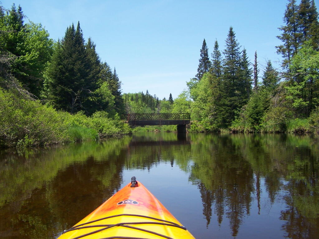
Powley Place Bridge on a Sunny Day 🖼️
Download a JPEG Image of the Powley Place Bridge on a Sunny Day.
Powley Place Bridge on a Sunny Day ...
It was so much nicer on Monday then the rest of the weekend, making me wish I had Tuesday off from work.
Taken on Monday May 30, 2011 at Piseco-Powley Road.

More about Piseco-Powley Road...
The 17-mile Piseco-Powley Road is a remote dirt route cutting through the Adirondack's Ferris Lake Wild Forest. It features 22 primitive roadside campsites, including four spots at Powley Place where the road crosses the West Branch of the East Canada Creek.
Download the PDF Map Pack with All Maps from Piseco-Powley Road.


")


