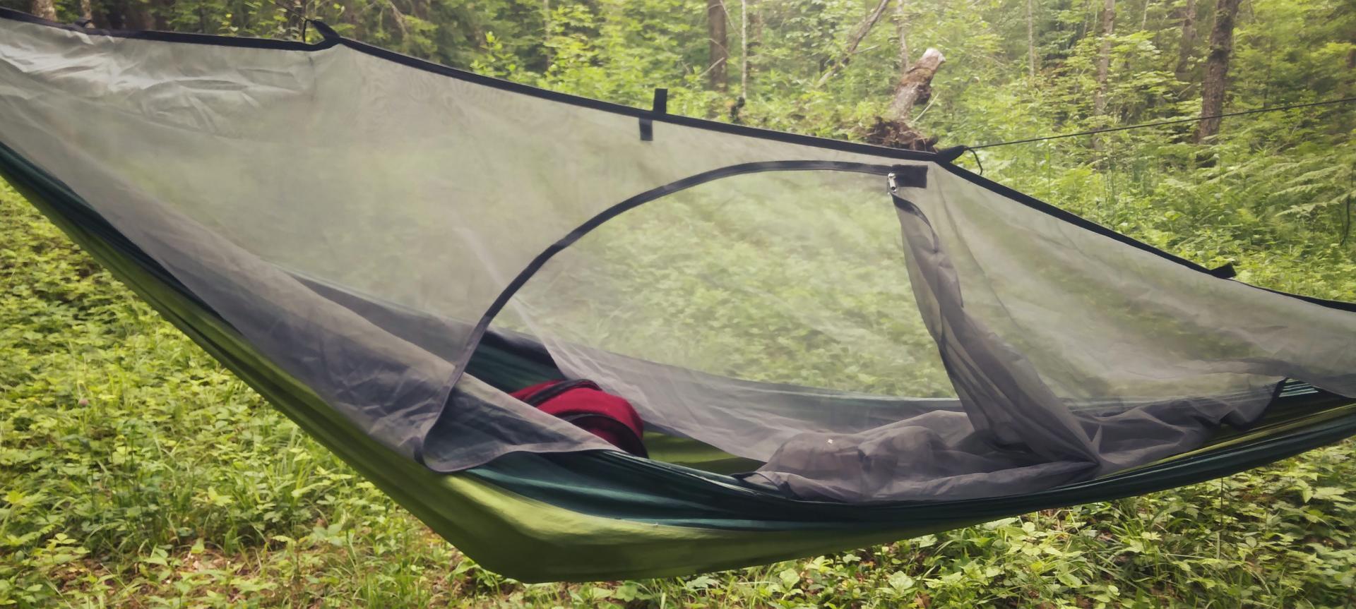
Hammock Bug Net 🖼️
Download a High Resolution JPEG Image of the Hammock Bug Net or an Adobe Acrobat Printable PDF of the Hammock Bug Net.
Hammock Bug Net ...
I don't love being under the bug net as it can be hot and claustrophobic but it sometimes beats getting eaten alive.
Taken on Friday June 16, 2023 at Piseco-Powley Road.
Location: 43.262067, -74.657633 📌

More about Piseco-Powley Road...
The 17-mile Piseco-Powley Road is a remote dirt route cutting through the Adirondack's Ferris Lake Wild Forest. It features 22 primitive roadside campsites, including four spots at Powley Place where the road crosses the West Branch of the East Canada Creek.
Download the PDF Map Pack with All Maps from Piseco-Powley Road.


")


![Photo: Misty Morning at Powley Campsite 5 [Expires July 21 2026]](/data/photo_24878_small.jpg "Photo: Misty Morning at Powley Campsite 5 [Expires July 21 2026]")


