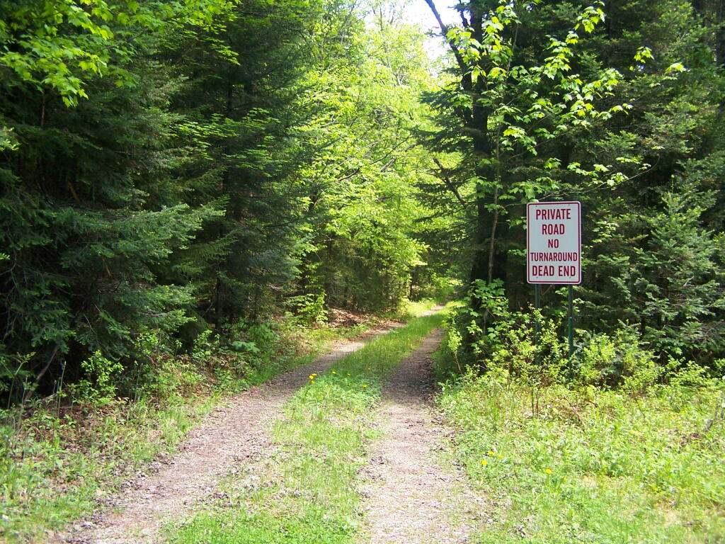
Ferris Lake Road 🖼️
Download a JPEG Image of the Ferris Lake Road.
Ferris Lake Road ...
NY DEC maintains 4/10th of a mile of Ferris Lake Road, which is a dead end without a turn around -- as the sign says. I was hoping to hike it to the end, then bushwack around Camp Watagah, but the rain made the creeks too flooded to successfully bushwhack around this inholding.
Taken on Saturday May 28, 2011 at Piseco-Powley Road.

More about Piseco-Powley Road...
The 17-mile Piseco-Powley Road is a remote dirt route cutting through the Adirondack's Ferris Lake Wild Forest. It features 22 primitive roadside campsites, including four spots at Powley Place where the road crosses the West Branch of the East Canada Creek.
Download the PDF Map Pack with All Maps from Piseco-Powley Road.


")


![Photo: Hot Day [Expires July 21 2026]](/data/photo_24872_small.jpg "Photo: Hot Day [Expires July 21 2026]")


