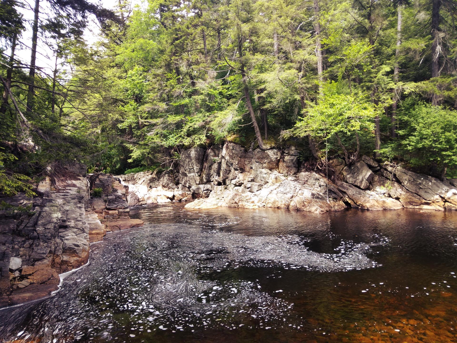
Swimming Hole Off Old Edick Road 🖼️
Download a High Resolution JPEG Image of the Swimming Hole Off Old Edick Road or an Adobe Acrobat Printable PDF of the Swimming Hole Off Old Edick Road.
Swimming Hole Off Old Edick Road ...
Taken on Saturday June 18, 2022 at Piseco-Powley Road.
Location: 43.246717, -74.657117 📌

More about Piseco-Powley Road...
The 17-mile Piseco-Powley Road is a remote dirt route cutting through the Adirondack's Ferris Lake Wild Forest. It features 22 primitive roadside campsites, including four spots at Powley Place where the road crosses the West Branch of the East Canada Creek.
Download the PDF Map Pack with All Maps from Piseco-Powley Road.


")


No Comments
how far from the powley road is the cutoff to the swimming hole and is it easy to spot?
It’s about 3/4 of a mile. Take Old Edick Road from Piseco Powley Road, head up the hill, the hill levels out before climbing, look for an informal trail in a depression, heading left.