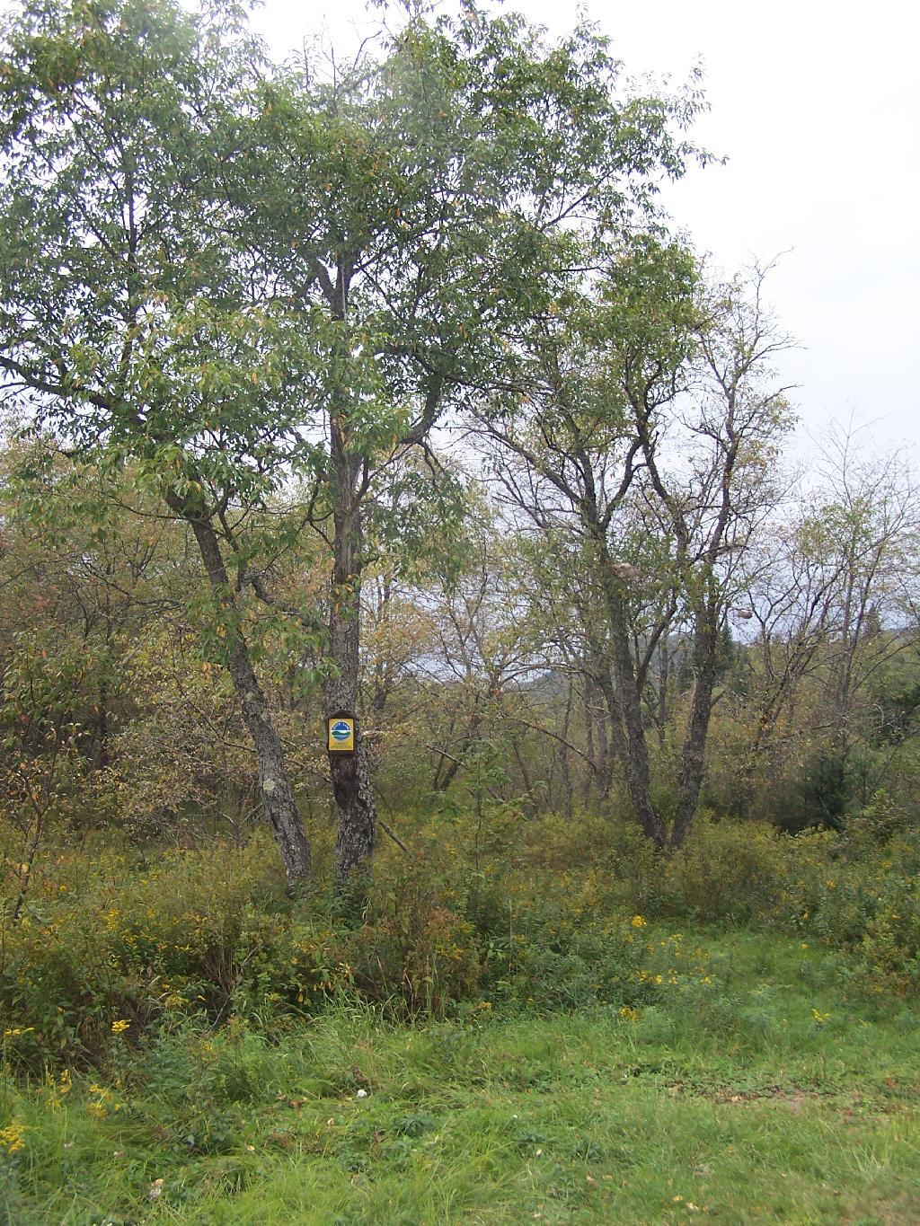
Will Powley Road Open End of Summer

Could Piseco Powley Road be fully open by the autumn hunting season?

I bet those handful of cabin owners on the lower part of Piseco Road past the bridge are looking forward to accessing their cabins again. As are the many people who access the area normally from the south.

This post shows some pictures of the bridge they replaced at Piseco Place and the current southbound end of Powley Road at the Potholers.

Map: Big Alderbed Lake Trail
Map: Clockmill Corners to NY 10
Map: Edick Road Swimming Hole
Map: Goldmine Stream Falls
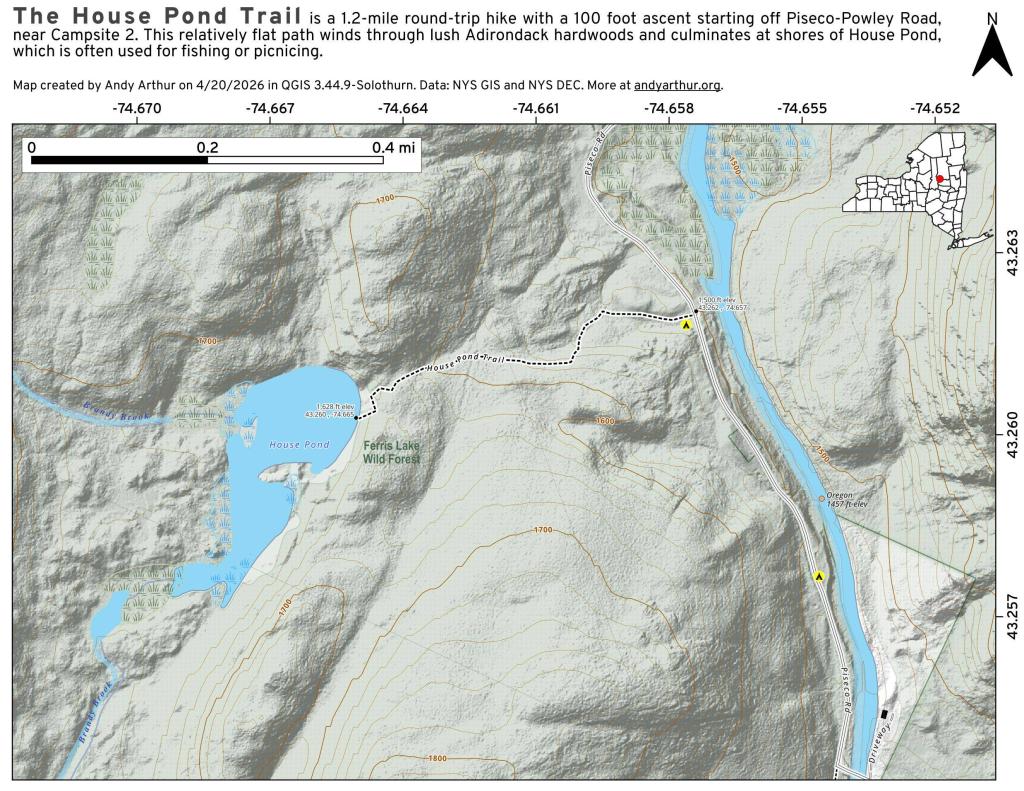
Map: House Pond Trail
Map: Lower Powley Bridge to Sugarbush Mountain
Map: Meco Lake Trail (Piseco-Powley Road)
Map: Overview Map Piseco-Powley Road
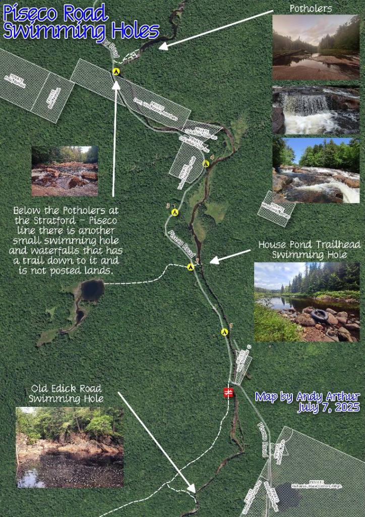
Map: Piseco Road Swimming Holes
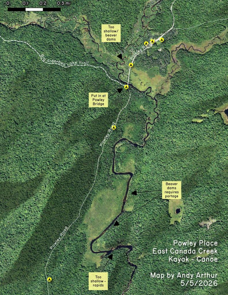
Map: Powley Place - East Canada Creek - Kayak Canoe
Map: Sand Lake
Map: Sand Lake Trail
Map: Sugarbush Mountain to Clockmill Corners
Terrain Map: Juneteenth 2022 Weekend
Terrain Map: Powley Road
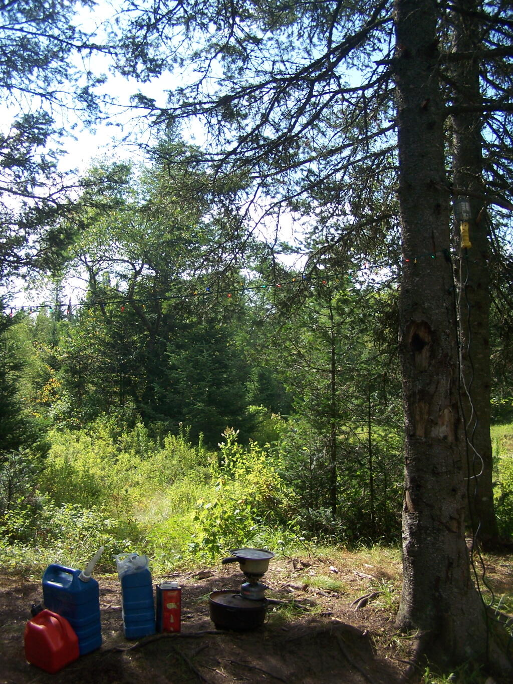
Photo: Cooking Breakfast
Photo: Summer
Photo: Morning
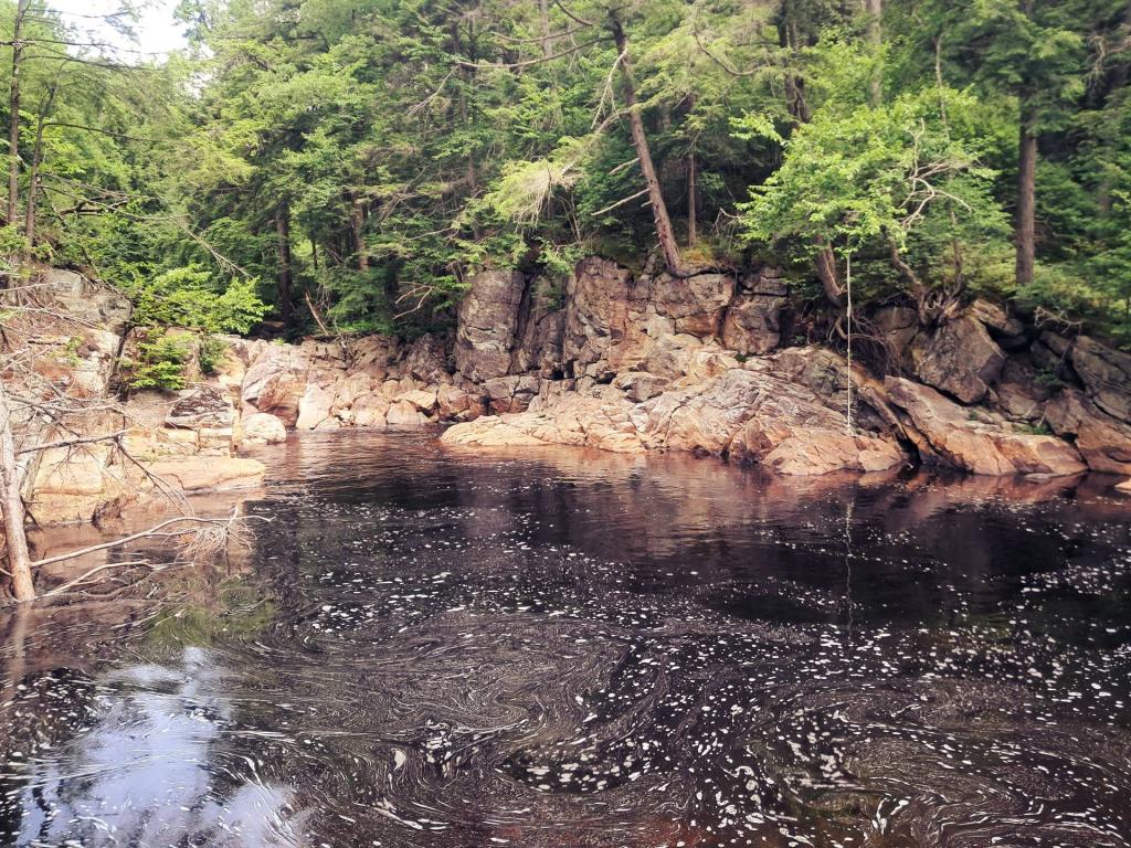
Photo: Independence Weekend at Swimming Hole Off Old Edick Road
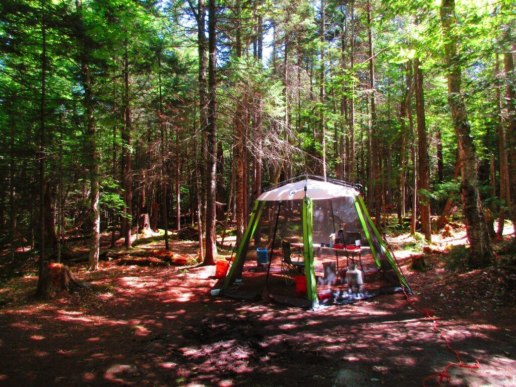
Photo: Campsite Grew On Me
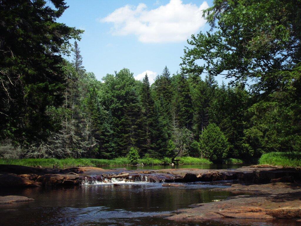
Photo: Natural Rock Dam
Photo: Marshland Near Powley Place
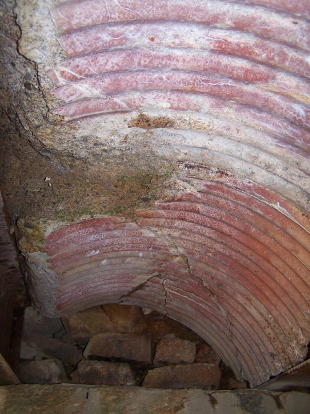
Photo: Culverts Gone, Exposed Concrete
Photo: Woods near camp
Photo: Watching Rain Come Dwon

Leave a Reply

Your email address will not be published. Required fields are marked *