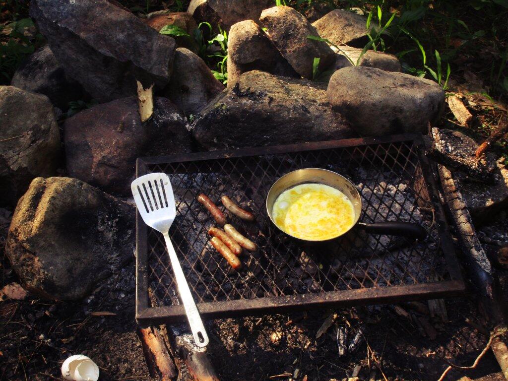
Making Breakfast

No, I didn't make up the name Doig Creek. Its outside of Wells/Northville. http://mapper.acme.com/?ll=43.35815,-74.23519&z=13&t=T&marker0=43.35815%2C-74.23519%2C6.1%20km%20SE%20of%20Wells%20NY
Saturday June 9, 2018 — Wilcox Lake Wild Forest — Bartman Trail 🗺 — Cotter Brook Trail 🗺 — Coulumbe Creek Trail 🗺 — Harrisburg Roadside Camping 🗺 — Indian Pond Trail 🗺 — Oregon Trail 🗺 — Pine Orchard Trail 🗺 — Rome Wildlife Management Area 🗺 — Wilcox Lake - Willis Lake Trail 🗺 — Willis-Wilcox Lake Trail 🗺— PDF with All Maps 📚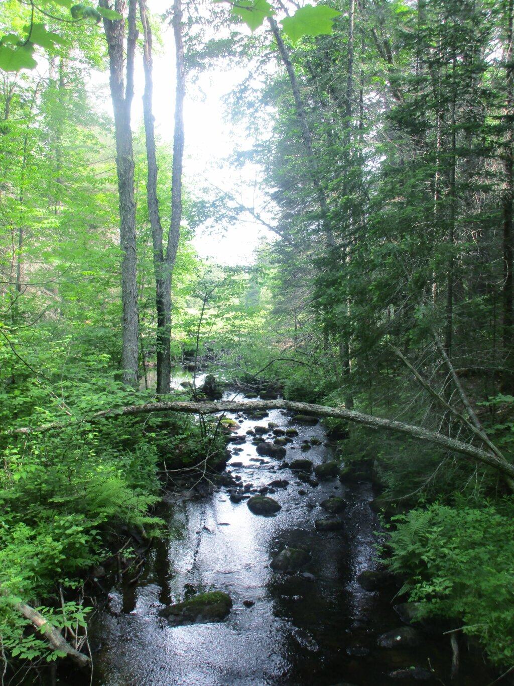

The vastness of the Adirondack Mountains reminds me partially of being out west once again.
Saturday May 30, 2009 — Tongue Mountains — Five Mile Mountain And Deer Leep 🗺 — Tip Of Tongue Mountain 🗺— PDF with All Maps 📚

Pumpkin Hollow Road, past the hunting camps narrows down to a small, rutted track in the woods until it's terminus in a small parking area at the Doig Creek. This section of road is only recommended for high-clearance vehicles, there is parking before this section just past the hunting camps.
Saturday June 9, 2018 — Wilcox Lake Wild Forest — Bartman Trail 🗺 — Cotter Brook Trail 🗺 — Coulumbe Creek Trail 🗺 — Harrisburg Roadside Camping 🗺 — Indian Pond Trail 🗺 — Oregon Trail 🗺 — Pine Orchard Trail 🗺 — Rome Wildlife Management Area 🗺 — Wilcox Lake - Willis Lake Trail 🗺 — Willis-Wilcox Lake Trail 🗺— PDF with All Maps 📚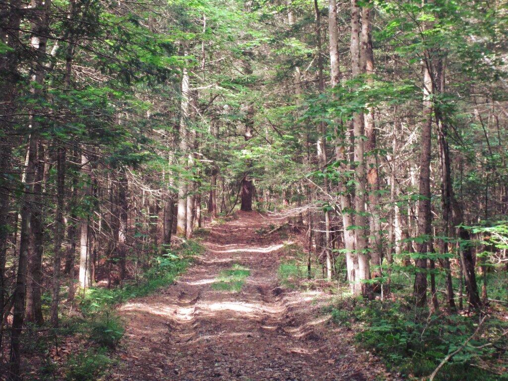
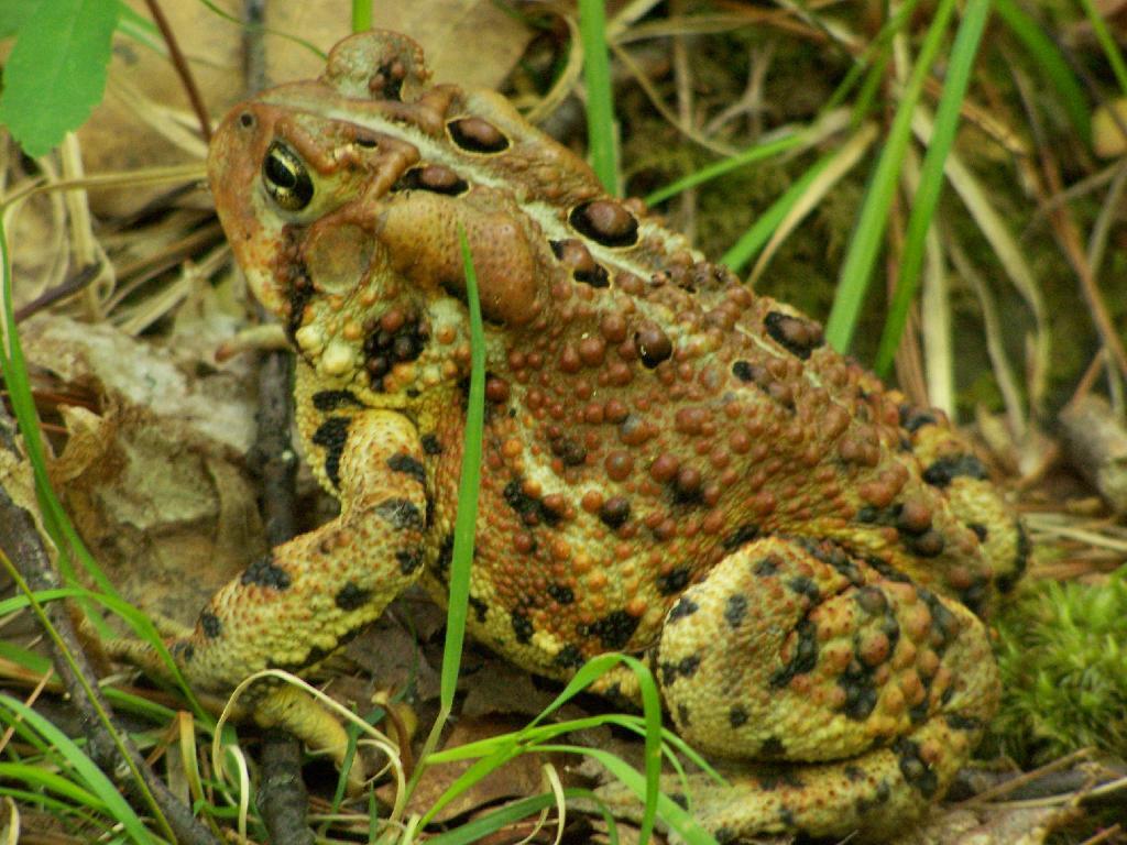
This toad was ever so nice of himself to allow me to take a picture, near the top of the Five Mile Point trail.
Saturday May 30, 2009 — Tongue Mountains — Five Mile Mountain And Deer Leep 🗺 — Tip Of Tongue Mountain 🗺— PDF with All Maps 📚