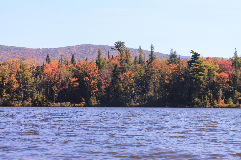
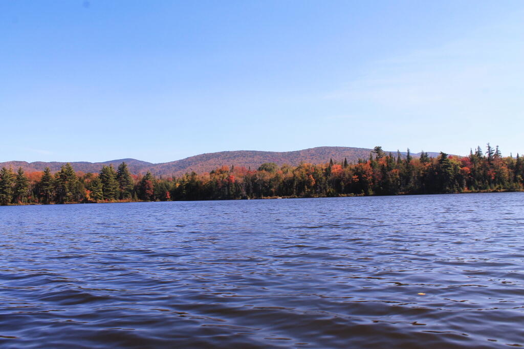
Wakely Pond (37 acres) lies on the far eastern edge of the Moose River Plains, roughly 1.5 miles east of Wakely Dam/Cedar River Entrance on Cedar River Road.
Wakely Pond has a maximum depth
of nine feet and an estimated mean depth of five feet. Much of the pond bottom is muck with some sand and limited areas of bedrock.