Mountains 📍

Lack of Agriculture Defines the Adirondacks

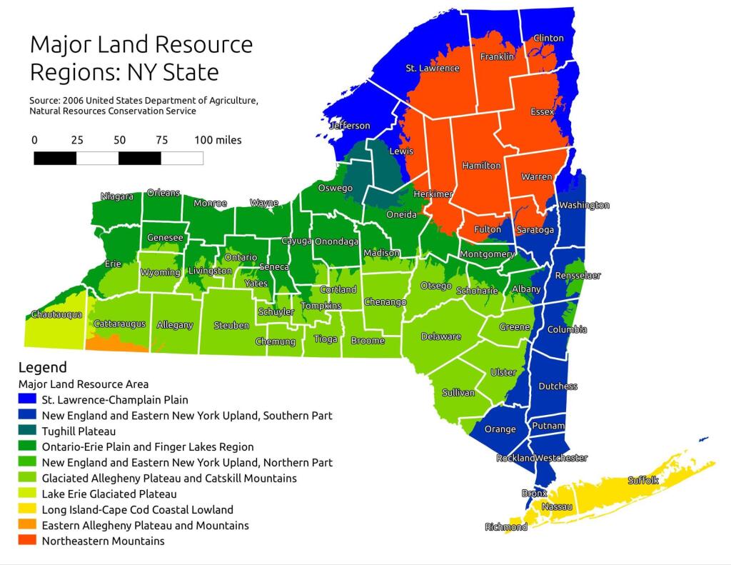
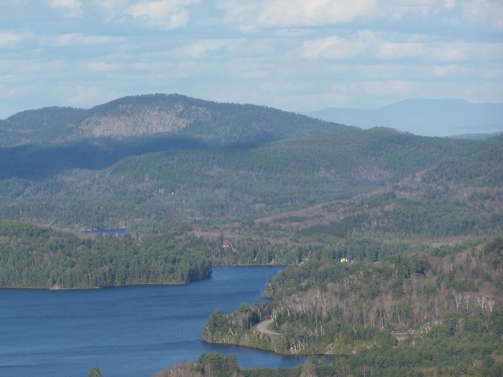
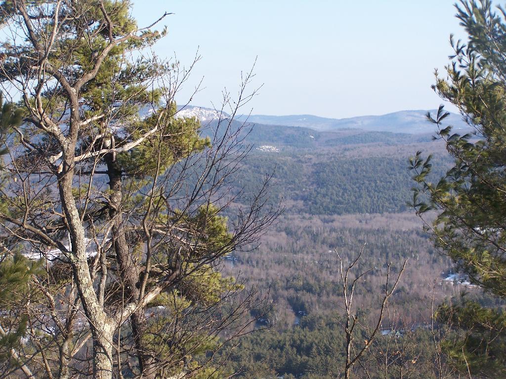
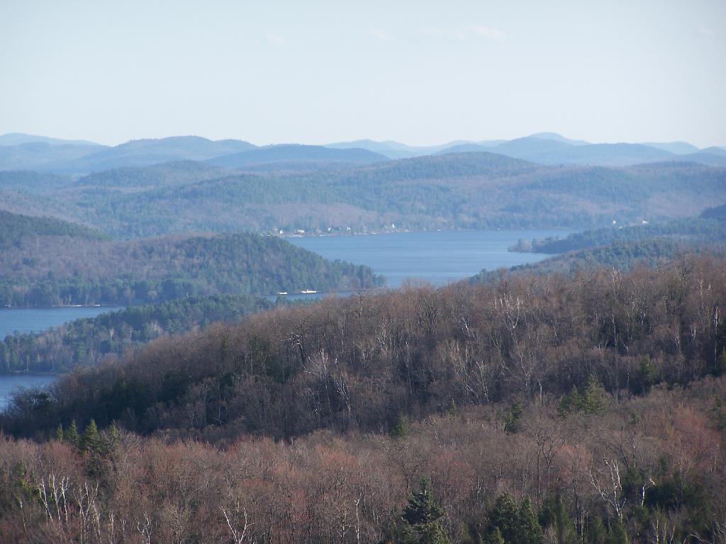
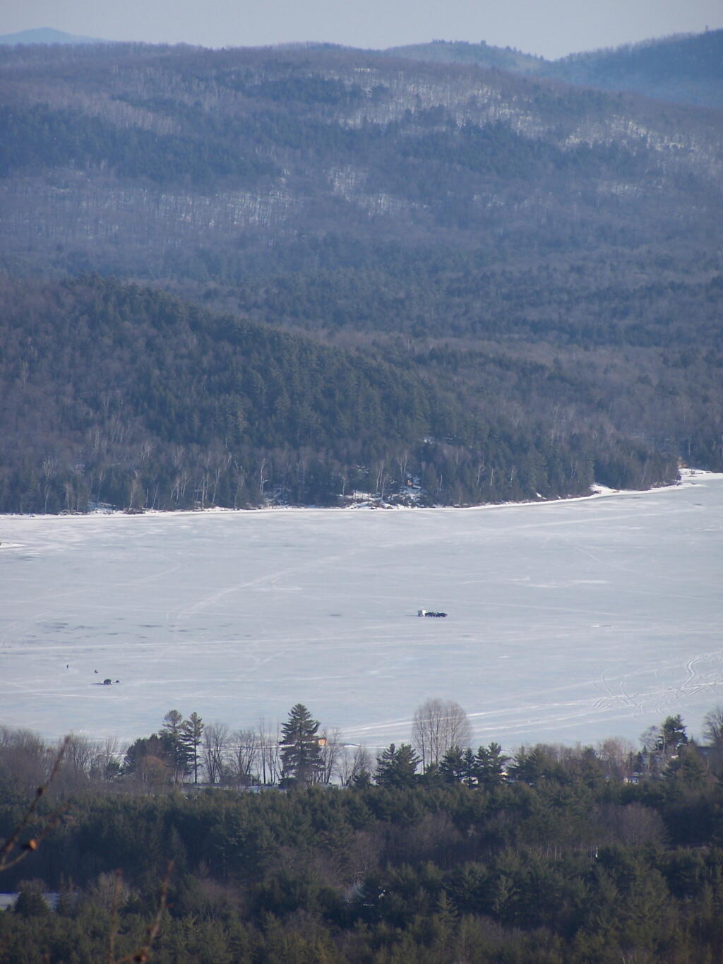
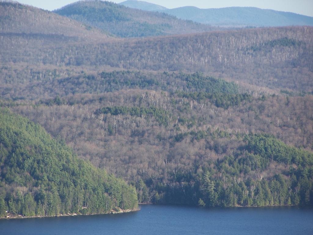
Often people think of the Adirondack Park as being the Adirondack Mountains, a very rugged and mountainous area. But as one would see from exploring much of the Southern and Western Adirondacks, a lot of the Adirondack Park is relatively flat. Not flat like Kansas, but with peaks who elevation change rival other portions of the state not in the Adirondack Park.

Hot evening walking along the Catharine Creek Marsh

Most of NY State east or south of Finger Lakes is not flat. There can be significant rise in hills in these area, but we don’t consider such regions to be portions of Adirondack Park or even Catskill Park. Those lands are un-designated and not managed on a regional basis. They aren’t called a park. But what makes the Adirondack Park a cohesive unit is lack of agriculture occurring on it. Few portions of the Adirondack Park have a growing season long enough to support corn farming.

Farms in North Country

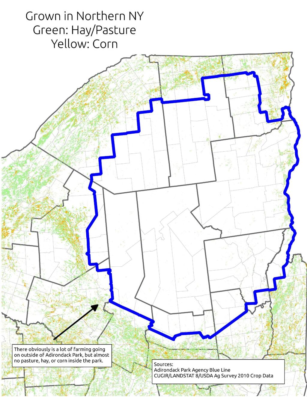
Corn is the basis of much contemporary and historical agriculture. It primarily is grown in NY State to feed dairy cattle. Dairy cattle are important, because they can provide a year round income for a farm family in form of milk sales throughout the year. Where corn can grown, silage can be made, and dairy farms can be sustained. Where there are dairies in NY State, their often is an agricultural support system that allows other farms to exists. Moreover, dairy farming is typically a mark of land able to sustain some kind of farming — if you can’t raise corn on a piece of land nearby, it’s unlikely that it would allow fruit or vegetable growing.

 The Catskills

Moreover, without an agricultural base, their is little reason historically for people to move to Adirondack Park. People traditionally where reliant on local food supplies. Little food could be grown in the park. Even if people could import food into the park, their historically was few jobs outside of logging and mining — occupations that could only support a limited number of workers. Without an agricultural basis, few cities could spring up within the park.

May Average High for Albany [Expires June 2 2026]

Most of the land in the Adirondack Park historically was logged or mined. Logging operations are a long-term investment, with many species of trees taking 30-50 years to grow to a profitable size. Many loggers historically stripped the land of it’s trees, and then abandoned the land or otherwise turned it over to the state. That’s how the state ended up with so much land in the park. If it had been productive farm land, much if it would still be in agricultural production, with remaining lands being converted into rural residential lands, or smaller privately owned forests.

Distance to State Parks

It wasn’t an act of the legislature that prevented the Adirondack Park from becoming too developed. It was a lack of corn and cattle based agriculture, as the elevation way too high to support such farming. No farms meant no civilization, and most of the park remaining timberlands, much abandoned to state use. If Adirondack Valleys where low enough to support some agriculture, their would have been much more development and civilization, then the largely wild and undeveloped Adirondack Park of today.

Major Land Resource Regions

Map: South Bradford State Forest
Map: Beaver Pond State Forest

The History of Watson’s East Triangle

… from the Watson’s East Triangle Unit Management Plan.

Human occupation of the Adirondack region took place immediately following the Wisconsin glaciation period (10,000‐8,00BC). Native American artifacts representing all periods of New York prehistory have been found throughout the region, most sites being associated with water bodies. The Oswegatchie River, which is an important resource for this unit, was a boundary between the easternmost of the Iroquois nations, the Mohawks and the Oneidas. Most of the recent history of this unit revolves around hopes and dreams of early speculators and the harvesting of timber. Unfortunately much of this history has gone undocumented.

Oswegatchie River, Adirondacks

The major historical events and dates that influenced this unit are described below:

Pre 1770’s ‐ Occupied by Native American Indians

1792 ‐ Alexander Macomb purchase nearly 4,000,000 acres in northern New York for 84 an acre. Shortly following this purchase Macomb was sent to debtors prison. His holdings were taken over by his partner William Constable.  

1796 ‐ James Watson acquires 61,433 acres in Herkimer and Lewis Counties comprised of two triangular pieces joined only by a narrow isthmus.

1809 ‐ James T. Watson inherits the lands of his father, James Watson.

1854 ‐ James T. Watson commits suicide; his holdings in the east triangle, are split among 44 surviving cousins.

1854‐1907 ‐ Through subsequent tax sales all of Watson’s former lands in the east triangle come into State ownership.

1907‐1912 ‐ Through tax sales the State Comptroller sells these same lands to the International Paper Company for a total of approximately $7,600.

1986 ‐ The State of New York acquires title to the remaining lands of International Paper within the Watson’s East Triangle.

1989 ‐ The State acquires 6,737 acres of the Lassiter Tract in fee, and purchases a conservation easement (Oswegatchie Tract) from the Nature Conservancy on 17,749 acres in Lewis County.

1999 ‐ Champion International sells its land holdings in New York State. The State acquires a conservation easement on 110,000 acres of these lands throughout the Adirondack Park, including the Croghan Tract. The State also acquires 29,000 acres of these lands for inclusion in the Forest Preserve. The lands acquired by the State in fee consist mostly of river corridors and other ecologically sensitive areas.

2000‐ The former IP lands are classified by APA, with much of the acreage going into Watson’s East Triangle Wild Forest, while some is classified wilderness along with reclassification of some existing acreage of WF to wilderness.

2006‐ Lands acquired in 1999 from Champion International are classified and added to the unit.

Five Ponds Wilderness Area

Thematic Map: Water Supply in the Capital Region
SVGZ Graphic: Land Cover in the Southern Pine Bush - 1985 through 2023

What God Sees When He Looks Down at New York

Note on the Re-run on May 14th: This continues to be one of my favorites Fodder essays to take a look at. New York State is a beautiful place! — Andy

‘; ?>

Adirondack Mountains.

Binghamton and
Confluence of Chenango and Susquehanna Rivers.

Catskill Mountains.

Cortland.

Finger Lakes.

Hudson Highlands.

New York City.

Orange County’s Black Dirt Country.

Western Catskills and
Country Near Delhi.

‘ ?>

Map: Willis-Wilcox Lake Trail
Map: Huckleberry Mountain and Murphy Lake

Another Place I Want to Go Back To

One of the places I really want to visit this next summer is T-Lake Falls in the West Canada Creek Wilderness. As a Boy Scout in 1998, I went up there for a week, and we made camp at a campsite about a 1/4 mile below the water falls. I have good memories of climbing up the last 10 feet of the waterfall, and sliding down it into the pool below. The black flies were awful but experience was great.

There is no marked trail back there, although most of the route follows old roads and unofficially marked herd paths. I vaguely remember parts of the route, and I have been studying the map and description from Barbara McMartins’ Discover the West Central Adirondacks. Much to my memory it’s about 6 miles each way, although being relatively flat, should be hikable in about 3 hours each way. It can be done in a long day.

Unlike as a Boy Scout I probably will not overnight out there. I will probably get up early one morning, drive up there, hike in, stop at the falls, grab some pictures and sit back for some memories. Then I will hike back to Mountain Pond Road and do some roadside camping, in one of the six campsites. I much prefer the comforts of roadside camping, and not carrying in gear all that way. While the Boy Scout trip was fun, the gear sure was heavy for that distance hike.

It should be fun. They say one can not go back to a place in time, but somehow revisiting the memories of yesteryear and my younger self should be well worth it.

Map: Snowy Mountain
Map: Wakely Mountain Firetower Views

March vs April

Last year, I happened to hike Severance Hill above Schroon Lake on March 7th, and also on April 11th. Being roughly one month apart, I figured it would be an interesting study in how the seasons change between these months.

Paradox Lake, March.

 Paradox Lake

Paradox Lake, April.

 Paradox Lake

Southern Schroon Lake, March.

Mountains

Southern Schroon Lake, April.

 Southern Schroon Lake

Deep Bay, March.

Ice Fishing on Schroon Lake

Steep Bay, April.

Steep Bay