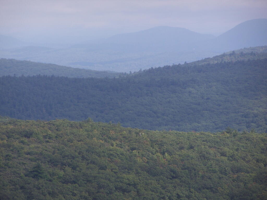
Broken Views Heading Up Sunset Rock

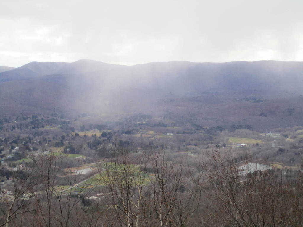

And the Petersburgh Pass.
Monday January 2, 2012 — Pine Cobble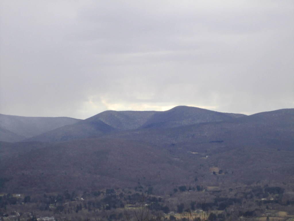

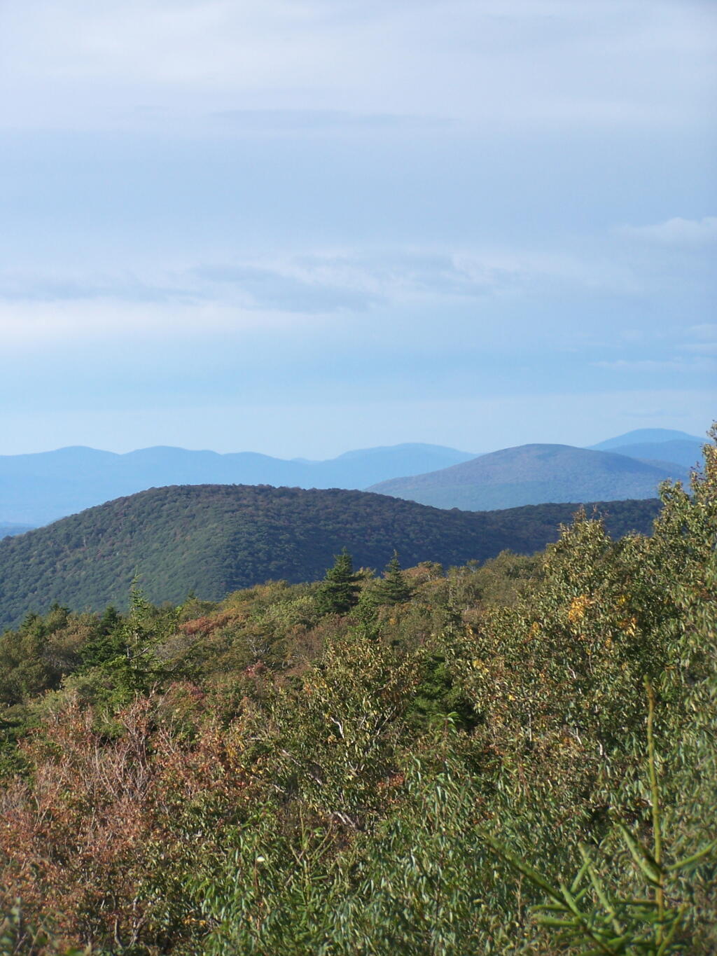

Looking to the east, into the Berkshires you can see the mountains fade away into the fog, as it steadly drifts to the east.
Sunday September 13, 2009 — Alander Mountain