Alander Mountain 📍
🖼️ Photos

Turkey Vulture


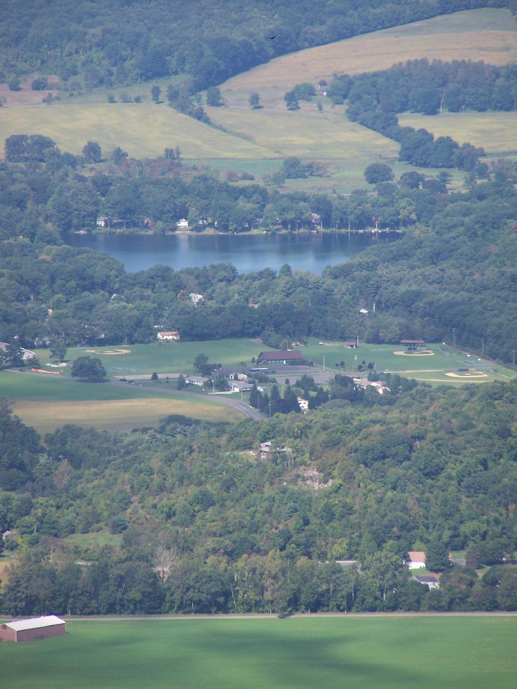
Copake Lake

Mountains Fade Into Fog
Looking to the east, into the Berkshires you can see the mountains fade away into the fog, as it steadly drifts to the east.
Sunday September 13, 2009 — Alander Mountain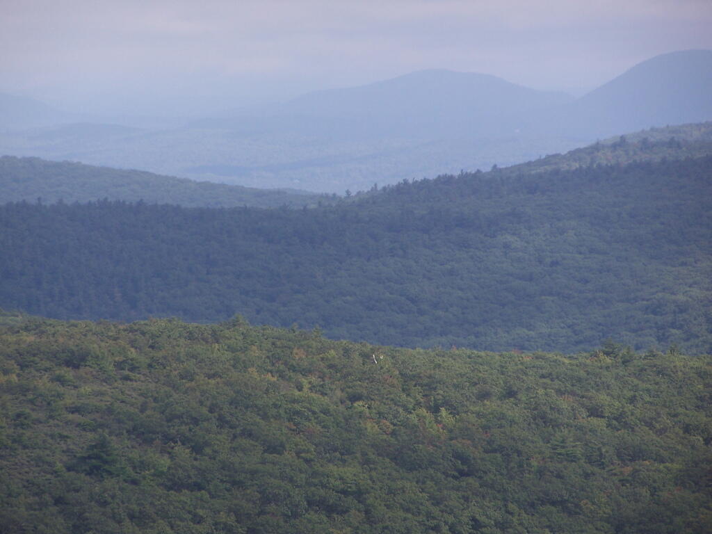

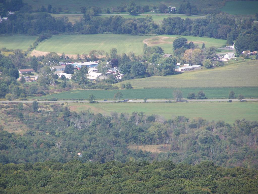
NY Route 22