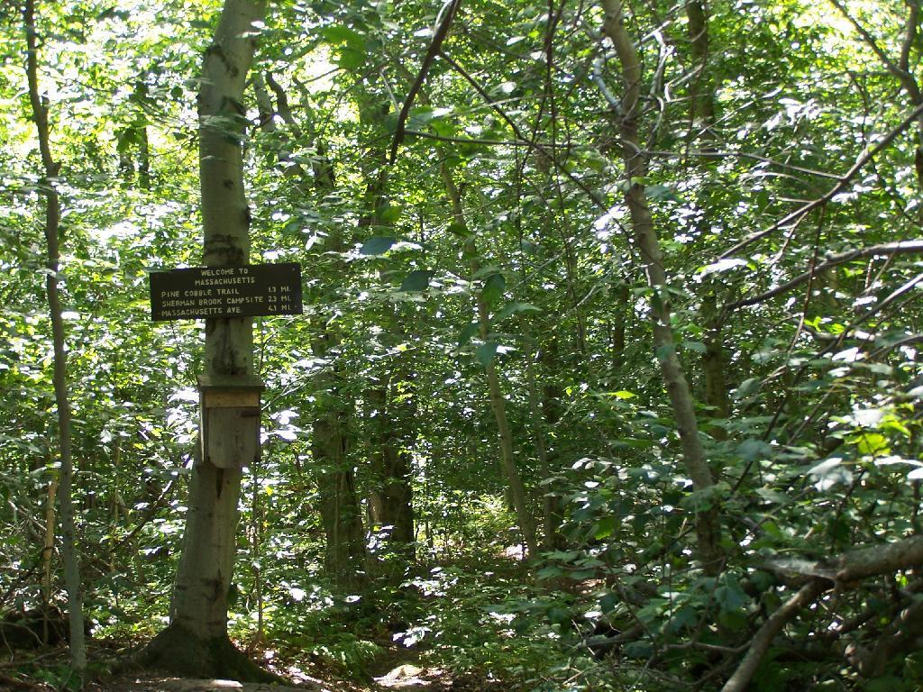
A.T. Log Book
Apparently along the Appalachian Trail, each state line you cross, you can sign in and tell your story.
Sunday September 6, 2009 — Pine Cobble

Apparently along the Appalachian Trail, each state line you cross, you can sign in and tell your story.
Sunday September 6, 2009 — Pine Cobble

Here if you take a left you will go up to East Mountain, which is where the Appalachian Trail (A.T.) runs and has some pretty views.
Sunday September 6, 2009 — Pine Cobble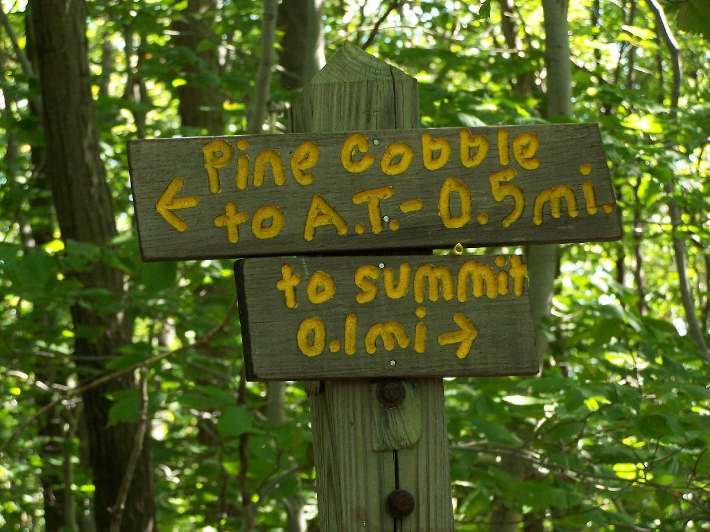

Of Pine Cobble.
Sunday September 6, 2009 — Pine Cobble
This is actually Sunset Rock, which you stand on for the awesome views of the valley. Sitting on the rock, the vegetation somewhat blocks your view.
Sunday June 14, 2009 — Bash Bish Falls

At Bash Bish Falls.
Sunday June 14, 2009 — Bash Bish Falls