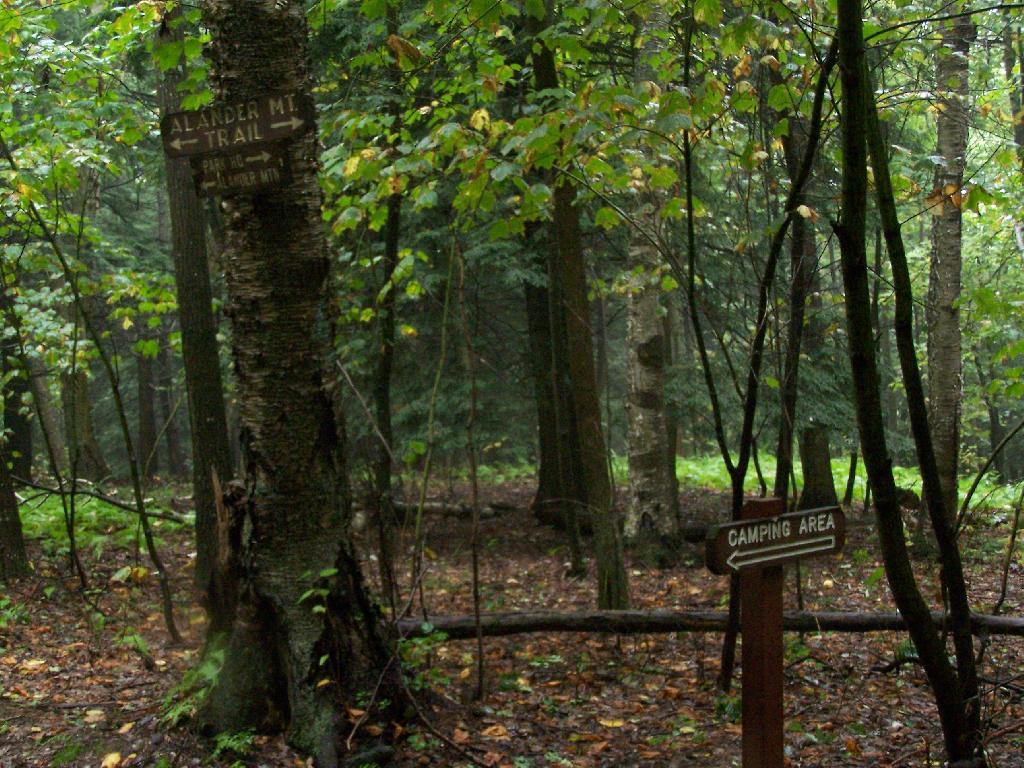
Sign to Camping Area
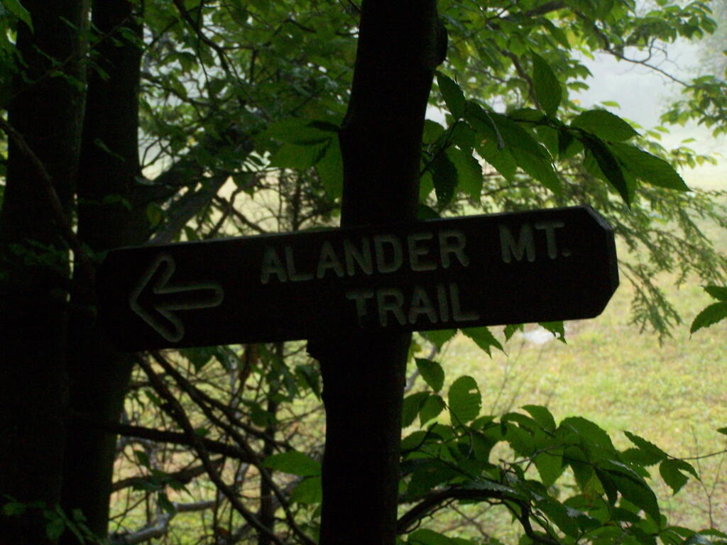
Usually Mass DCR does a good job signing things, as was the case along the main Alander Mountain trail.
Sunday September 13, 2009 — Alander Mountain
Usually Mass DCR does a good job signing things, as was the case along the main Alander Mountain trail.
Sunday September 13, 2009 — Alander Mountain
This is an alternative campsite you can stay along the trail.
Sunday September 13, 2009 — Alander Mountain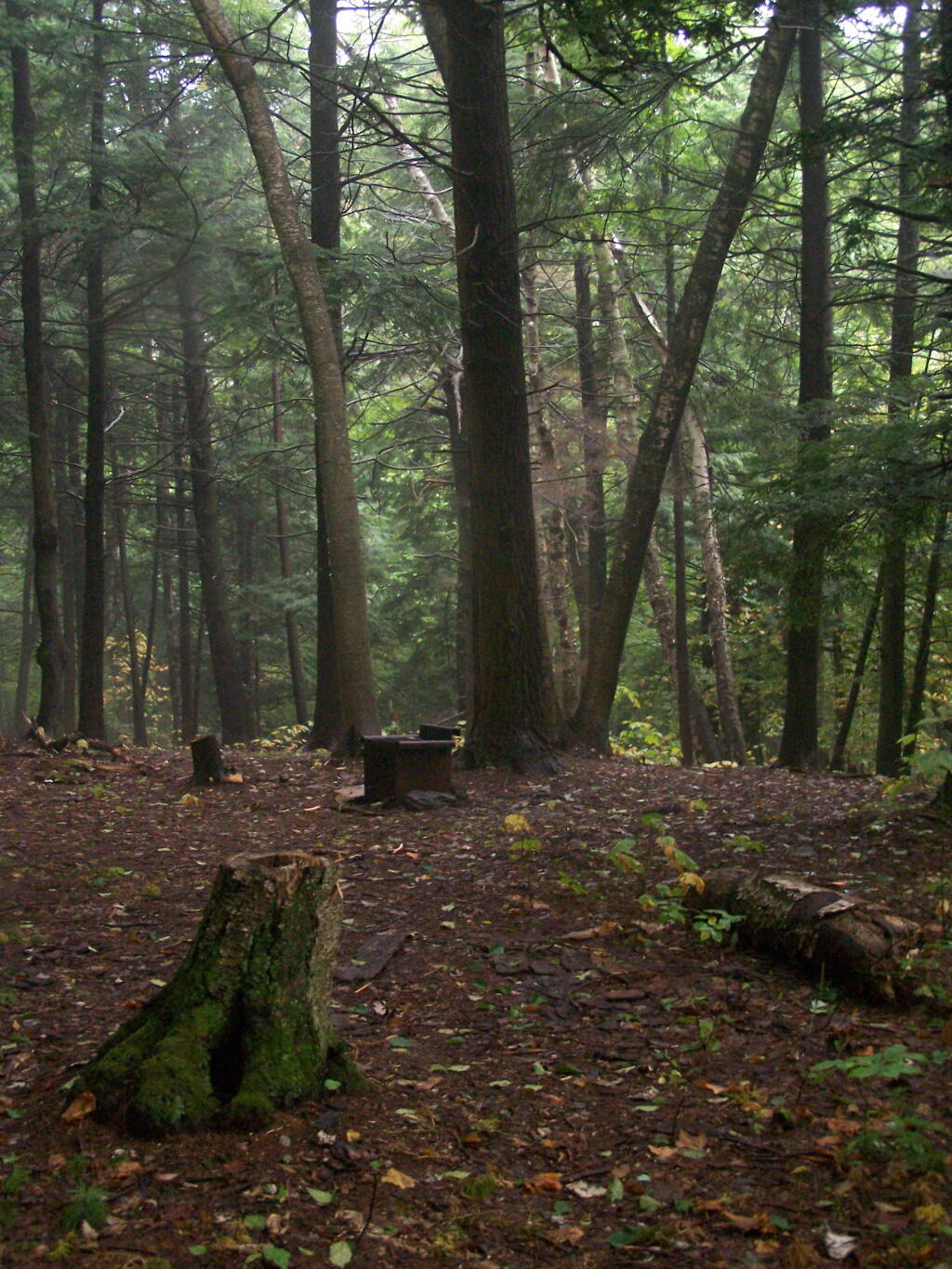

This primitive camp-site is 1 1/2 miles from the start of the trail, and is a 40 minute walk according to the photo date stamp from the parking area.
Sunday September 13, 2009 — Alander Mountain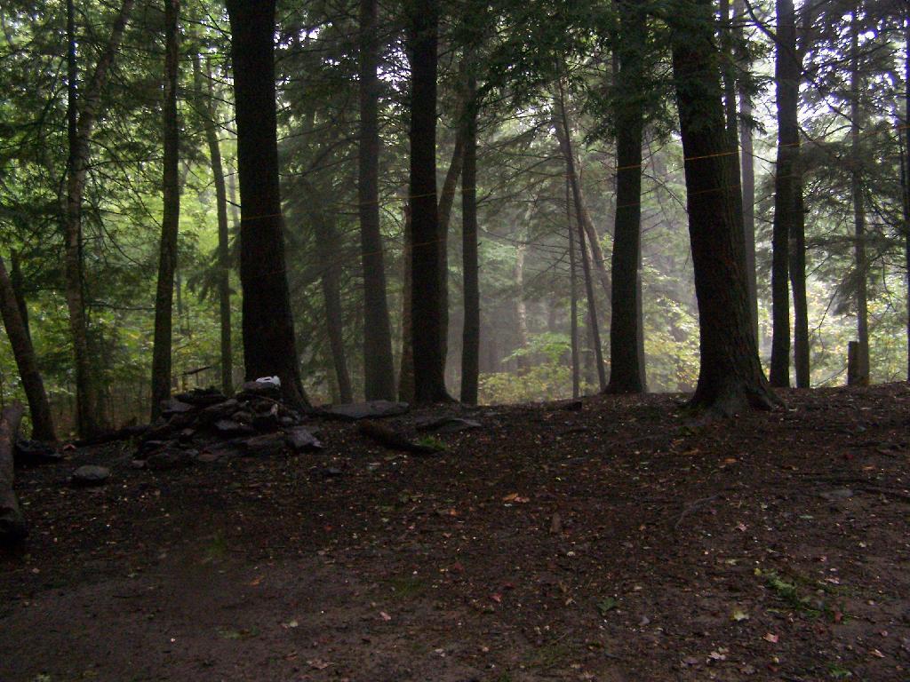

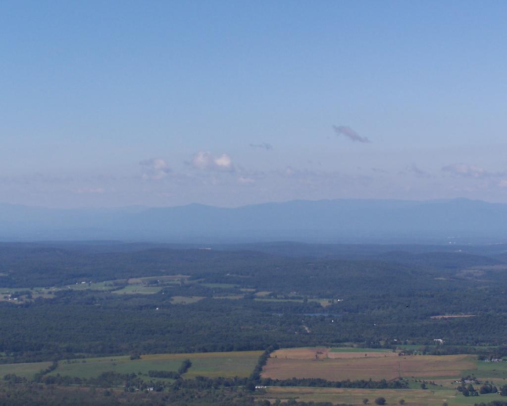

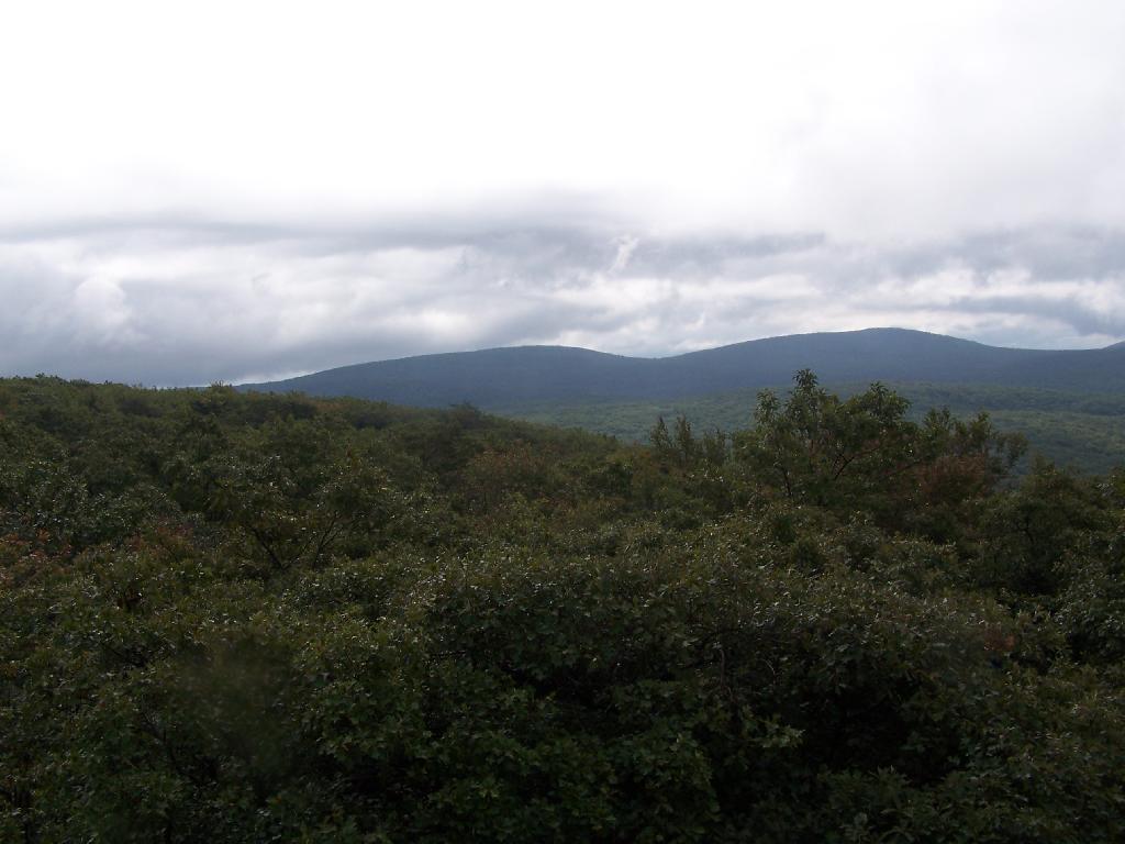
Watching the amazing process as the clouds float to the east and things get progressively clearer.
Sunday September 13, 2009 — Alander Mountain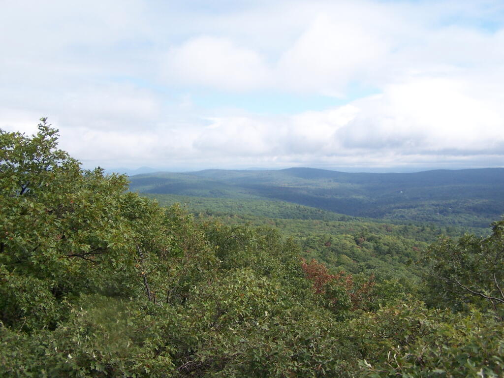

I knew there would be some fog that would have to burn off this morning. And much like I expected, it cleared out by mid-morning and would be quite nice.
Sunday September 13, 2009 — Alander Mountain