South Along Trail


It's 10 AM and it's clearing out quite nicely as I continue up Alander Mountain.
Sunday September 13, 2009 — Alander Mountain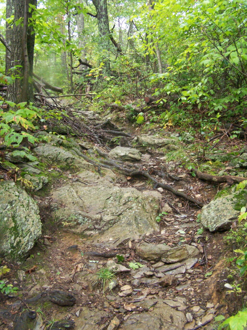

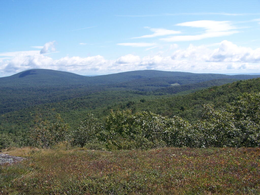
The turkey vulture was flying above and around Alander Mountain, soaring on the thermals.
Sunday September 13, 2009 — Alander Mountain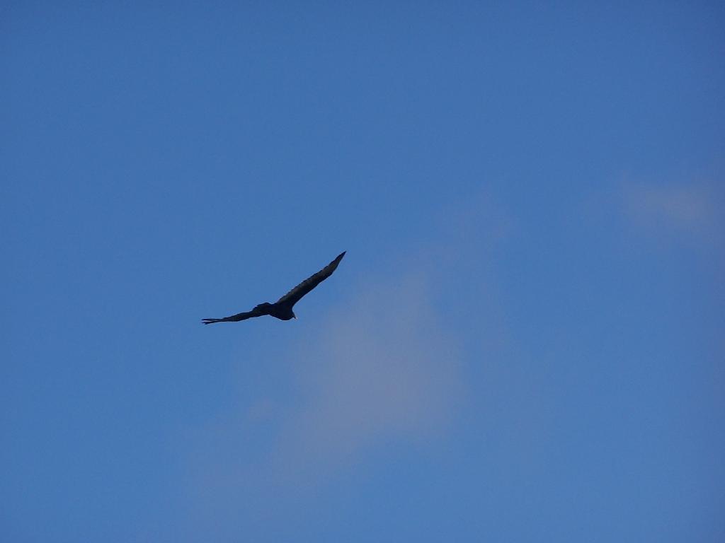

That was my fear as the South Taconic Trail rapidly started to descend. Fortunately, the trail descends a lot, but works it way around the ridge into a relatively flat return home.
Sunday September 13, 2009 — Alander Mountain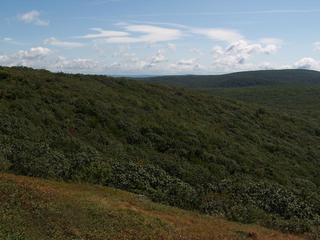

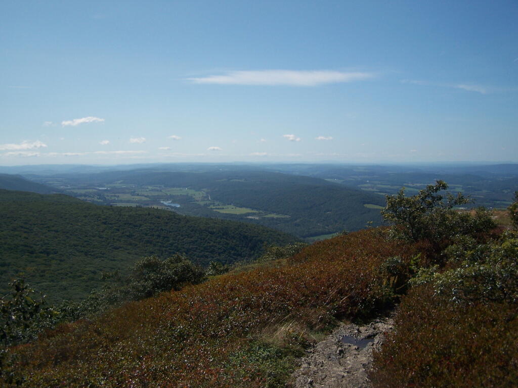
This looking south off Alander Mountain, the highest point in Columbia County.
Sunday September 13, 2009 — Alander Mountain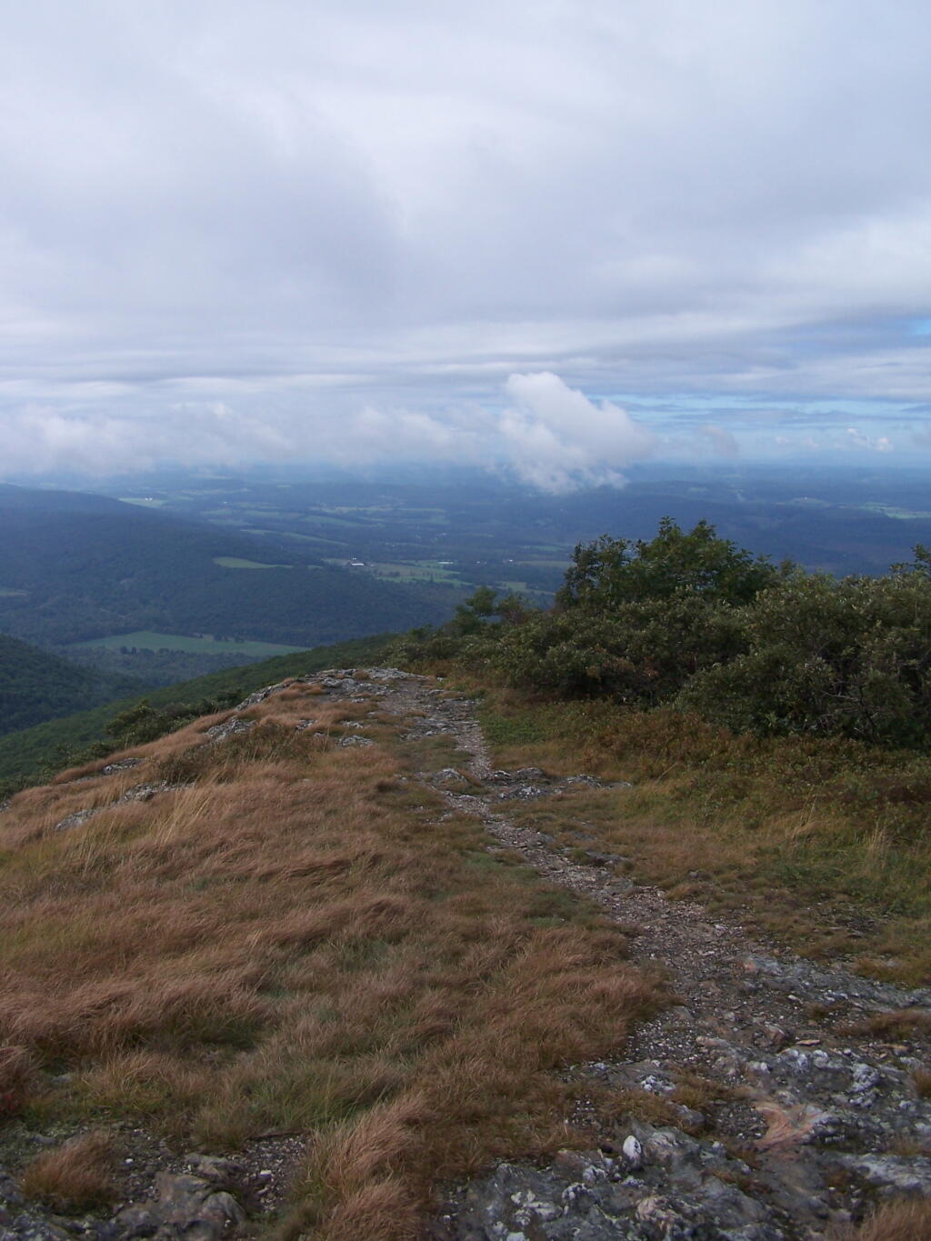

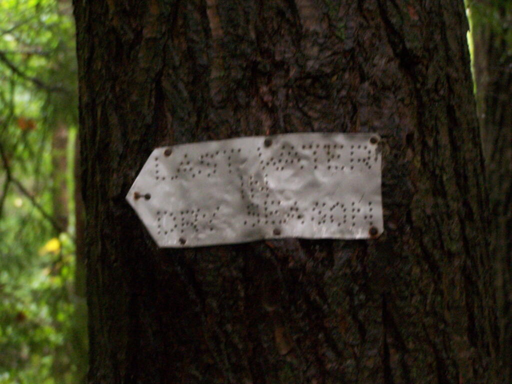
This sign, made out of tin with holes tapped in it warns hikers that you won't find any more water going up Alander Mountain, with another 500 feet of elevation to gain. This can be a bummer for those staying at the cabin at the top of the mountain.
Sunday September 13, 2009 — Alander Mountain