Horseshoe Lake Wild Forest 📍

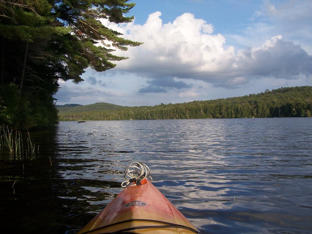
Located mostly on the southern shores of Tupper Lake, Horseshoe Lake Wild Forest is popular for those adventurers looking to escape the crowds of Tupper Lake. There are six primitive camping spots available along Horseshoe Lake, with a few others away from the lake. The wild forest also has access of Lows Lake & Hitchins Pond Primitive Area for those looking to explore the area. The Bog River is a very popular destination, however the most popular hiking destination is the fire tower on Mount Arab.

http://www.cnyhiking.com/HorseshoeLakeWildForest.htm

🗺️ Maps 🖼️ Photos 📽️ Videos

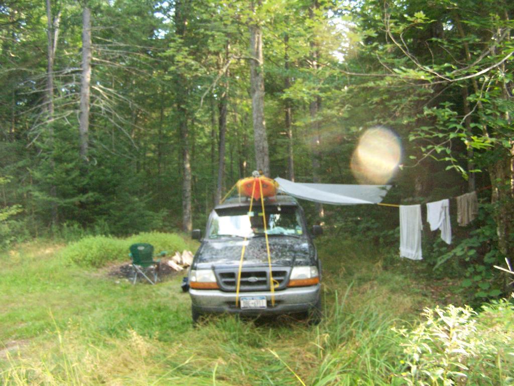
Campsite No 9

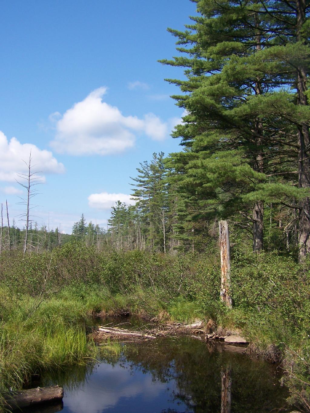
This is Campsite No 9 at Horseshoe Lake, on an Unnamed Adirondack Park Road, about two miles from the end of NY 421/Paved. I could not get site on the lake, arriving at 5 PM at night, but it's still a nice campsite. This area of Saint Lawrence County is so remote, only 2 big pickup trucks, and logging truck passed by in the 12 or so hours I was there.

Friday August 13, 2010 — Horseshoe LakeHorseshoe Lake 🗺
Map: Empire State Topography
SVGZ Graphic: Winter Weather Crashes

NY 30 South of Horseshoe Lake

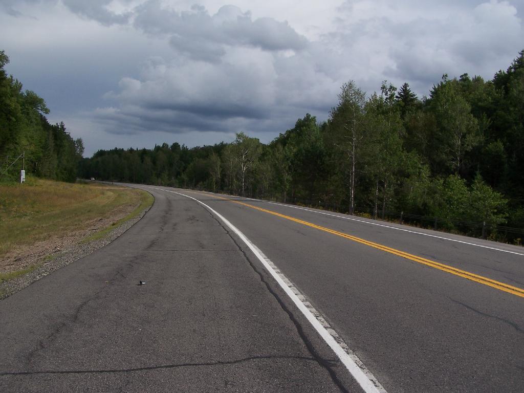
When NY 30 enters Saint Lawrence County for about 5 miles, it grows very wide for 2-lane highway. The shoulders of the road must be 13-14 feet wide on both sides. It must have originally been planned a four lane highway, but later was re-striped as a 2 lane highway, as there is no reason for a highway that wide in this very rural stretch of the Adirondacks.

Thursday August 12, 2010 — Horseshoe LakeHorseshoe Lake 🗺
Map: Normans Kill Ravines Preserve
Map: Hawkins Pond State Forest And County Park

Other End of Lake

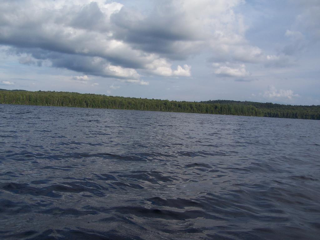
This is where NY 421 first hits the lake, heading west on NY 421 from Mountain Camp. You could say that it's other tip of the Horseshoe. About 3 campsites, spaced 1/2 mile apart, are located on the lake.

Thursday August 12, 2010 — Horseshoe LakeHorseshoe Lake 🗺
Map: Empire State Topography