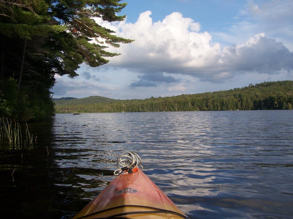
Other End of Lake 🖼️
Download a JPEG Image of the Other End of Lake.
Other End of Lake ...
This is where NY 421 first hits the lake, heading west on NY 421 from Mountain Camp. You could say that it's other tip of the Horseshoe. About 3 campsites, spaced 1/2 mile apart, are located on the lake.
Taken on Thursday August 12, 2010 at Horseshoe Lake.

More about Horseshoe Lake...
Horseshoe Lake in Franklin County, is located about 15 miles south west of Tupper Lake. There are 6 campsites along the lake, plus 4 others on roads nearby. Near the Hitchens Pond put-in for Lows Lake, a popular spot for camping and paddling.


