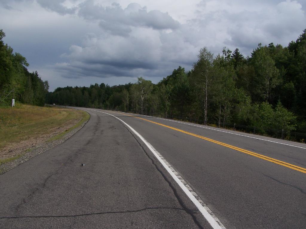
NY 30 South of Horseshoe Lake 🖼️
Download a JPEG Image of the NY 30 South of Horseshoe Lake.
NY 30 South of Horseshoe Lake ...
When NY 30 enters Saint Lawrence County for about 5 miles, it grows very wide for 2-lane highway. The shoulders of the road must be 13-14 feet wide on both sides. It must have originally been planned a four lane highway, but later was re-striped as a 2 lane highway, as there is no reason for a highway that wide in this very rural stretch of the Adirondacks.
Taken on Thursday August 12, 2010 at Horseshoe Lake.

More about Horseshoe Lake...
Horseshoe Lake in Franklin County, is located about 15 miles south west of Tupper Lake. There are 6 campsites along the lake, plus 4 others on roads nearby. Near the Hitchens Pond put-in for Lows Lake, a popular spot for camping and paddling.


