Weekend #4 at House Pond Campsite
I spent a lot of my summer in 2021 at House Pond Campsite on Piseco-Powley Road, mainly because I really like the swimming hole on warm days when I hike down there and cool off and not have to drive anywhere, especially with the DWI laws these days. The only downside about camping there, is there isn't any place that is good for setting up a target and plinking and it's a bit closer to other campsites, so I can't listen to music quite as loud -- the nearest campsite is about 1,200 feet away.

Camping at Piseco-Powley Road in Late November
Cold morning after I ran out of propane camping up at Piseco-Powley Road.

Eight o’clock before the sun rose in the mountains
The sun angle is low and far to the south this time of year.
Sunday November 29, 2020 — Piseco-Powley Road — Big Alderbed Lake Trail 🗺 — Clockmill Corners to NY 10 🗺 — Edick Road Swimming Hole 🗺 — Goldmine Stream Falls 🗺 — House Pond Trail 🗺 — Lower Powley Bridge to Sugarbush Mountain 🗺 — Meco Lake Trail (Piseco-Powley Road) 🗺 — Overview Map Piseco-Powley Road 🗺 — Piseco Road Swimming Holes 🗺 — Powley Place - East Canada Creek - Kayak Canoe 🗺 — Sand Lake 🗺 — Sand Lake Trail 🗺 — Sugarbush Mountain to Clockmill Corners 🗺— PDF with All Maps 📚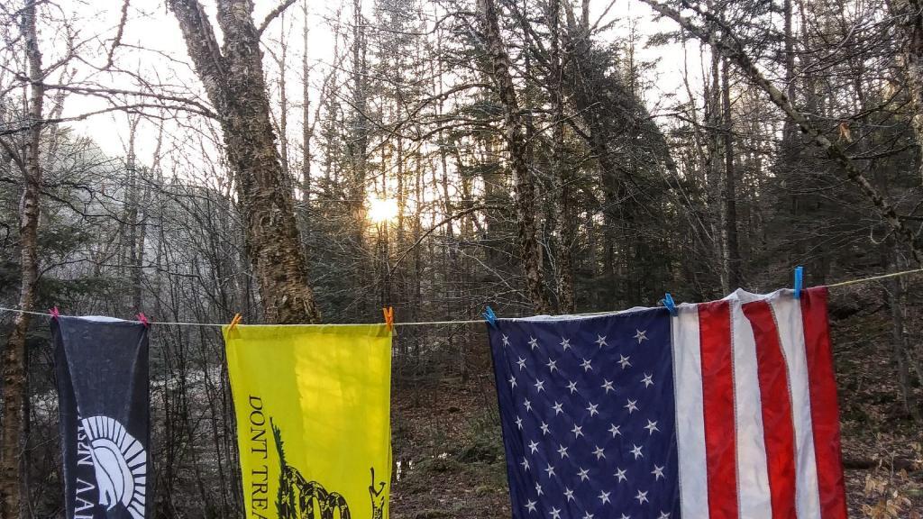

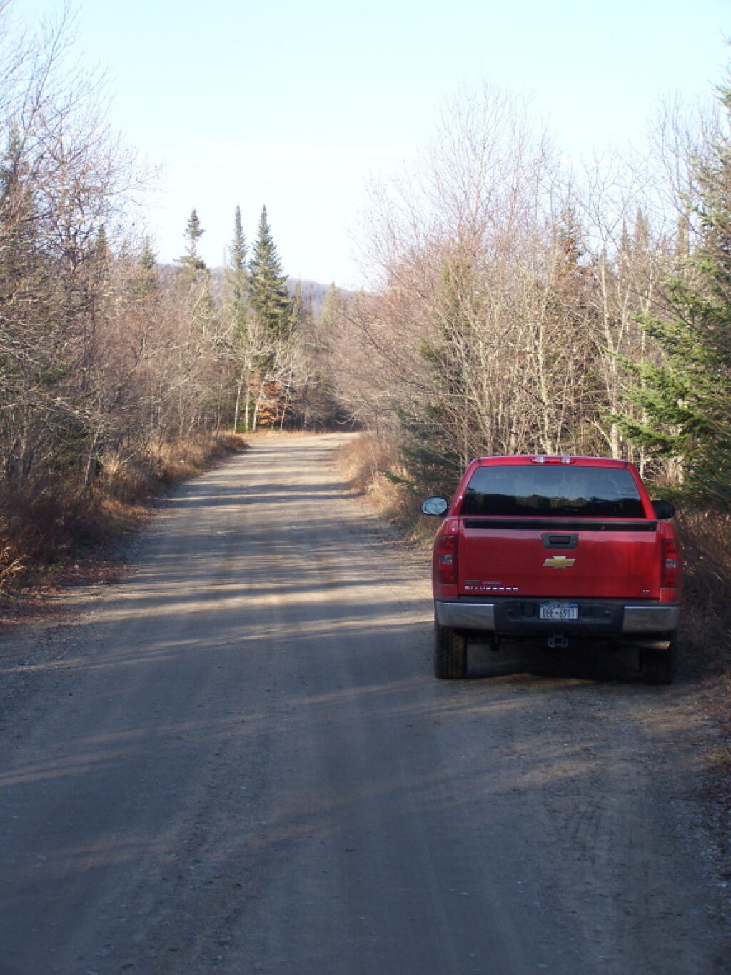
Big Red at Powley Place
Hey, for the trip to here from Albany and back, I averaged 19.3 miles per gallon, including spending 22 miles on dirt road, stopping to take pictures, and not taking expressways except for a short section of Thruway between Albany and Schenecady. I was very impressed with Big Red.
Saturday November 12, 2011 — Piseco-Powley Road — Big Alderbed Lake Trail 🗺 — Clockmill Corners to NY 10 🗺 — Edick Road Swimming Hole 🗺 — Goldmine Stream Falls 🗺 — House Pond Trail 🗺 — Lower Powley Bridge to Sugarbush Mountain 🗺 — Meco Lake Trail (Piseco-Powley Road) 🗺 — Overview Map Piseco-Powley Road 🗺 — Piseco Road Swimming Holes 🗺 — Powley Place - East Canada Creek - Kayak Canoe 🗺 — Sand Lake 🗺 — Sand Lake Trail 🗺 — Sugarbush Mountain to Clockmill Corners 🗺— PDF with All Maps 📚