Piseco-Powley Road 📍

Stretching from Stratford to Piseco, Piseco-Powley Road winds along the western edge of one of the last remaining old Adirondack dirt roads. Lined with venerable spruce trees, some nearly brushing against the road, it offers a glimpse of nature’s untouched beauty. The tranquil West Branch of the East Canada Creek intersects Powley Road at Powley Place. This spot is positioned 8 miles southwest of Piseco Outlet, where NY 10 crosses, and approximately 7.5 miles from the point Piseco-Powley Road branches off from NY 10. When approached from the south, Powley Place is found 10.5 miles northeast from Stratford via Piseco Road. Notably, this area hosts four campsites, forming part of the 22 designated camping spots along Piseco-Powley Road, enhancing the allure of this picturesque route.

http://www.dec.ny.gov/lands/28339.html

Get maps of campsites and destinations as a single-page PDF here: https://www.scribd.com/document/640949248/Piseco-Powley-Road-Campsite-Map-Pack

🗺️ Maps 🖼️ Photos 📽️ Videos

Powley Road

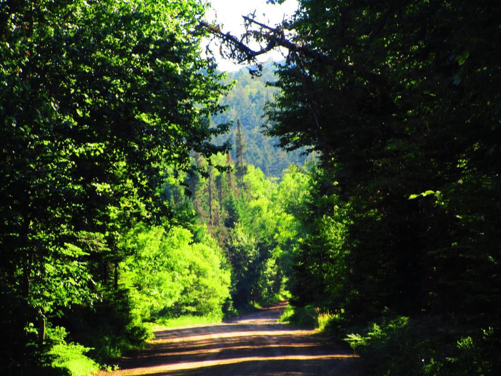
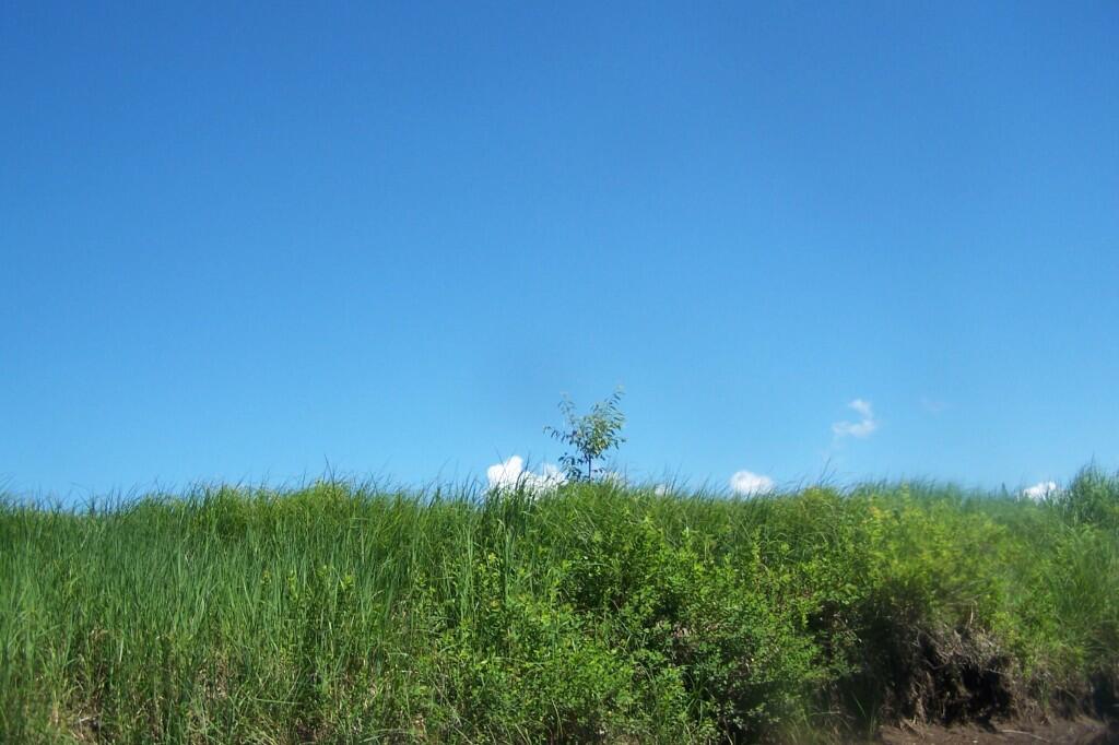
On Monday, I walked up to Goldmine Stream Falls from my campsite at Powley Place. Heading back along the road, towards the open area.

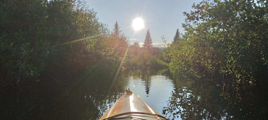
Monday June 20, 2022 — Piseco-Powley Road
Map: Severence Hill Trail
SVGZ Graphic: 2020 Colonie Town Population Density
SVGZ Graphic: LAUS - Peak Year of Employment by County
Thematic Map: Troy vs Manhattan - A Size Comparison
Map: Sand Lake
Map: Follensby Clear Pond
Map: St. Regis River Reservior