Piseco-Powley Road 📍

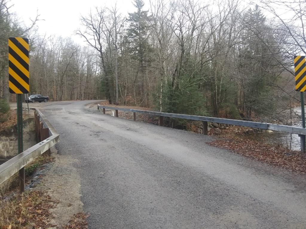
The 17-mile Piseco-Powley Road is a remote dirt route cutting through the Adirondack’s Ferris Lake Wild Forest. It features 22 primitive roadside campsites, including four spots at Powley Place where the road crosses the West Branch of the East Canada Creek.

Download the PDF Map Pack
🗺️ Maps 🖼️ Photos 📽️ Videos

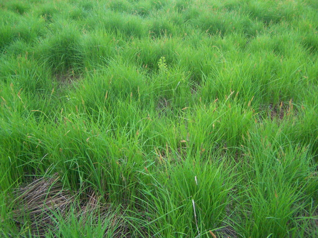
Grasses

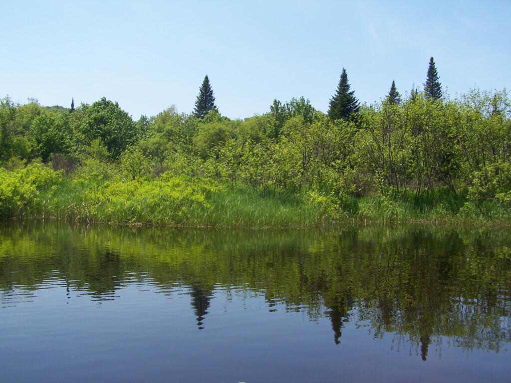
In Powley Place. It's not all marshy, in part because Mr. Powley when he tried to farm this place, installed tiles that dried this area out enough to make a small field suitable for farming.

Sunday May 29, 2011 — Piseco-Powley RoadBig Alderbed Lake Trail 🗺Clockmill Corners to NY 10 🗺Edick Road Swimming Hole 🗺Goldmine Stream Falls 🗺House Pond Trail 🗺Lower Powley Bridge to Sugarbush Mountain 🗺Meco Lake Trail (Piseco-Powley Road) 🗺Overview Map Piseco-Powley Road 🗺Piseco Road Swimming Holes 🗺Powley Place - East Canada Creek - Kayak Canoe 🗺Sand Lake 🗺Sand Lake Trail 🗺Sugarbush Mountain to Clockmill Corners 🗺PDF with All Maps 📚
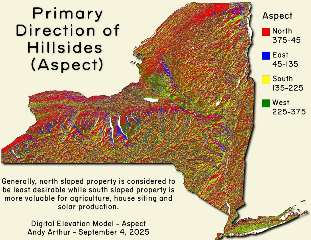
Thematic Map: Primary Direction of Hillsides in NYS - Aspect

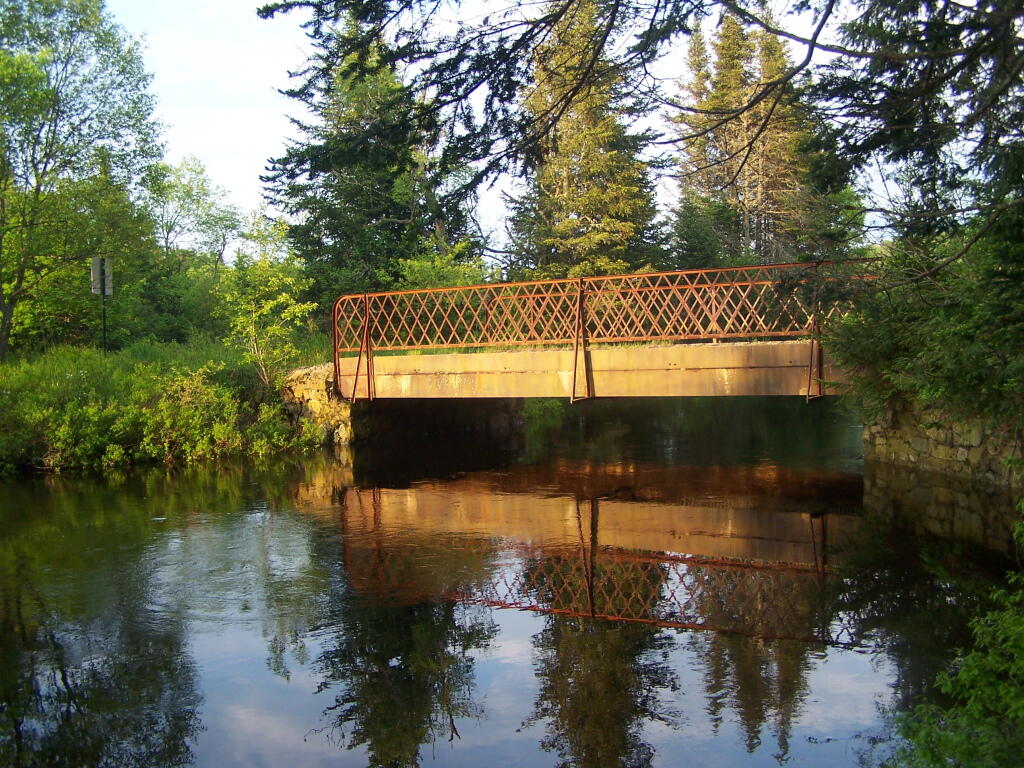
Powley Place Bridge in Evening

As you can see, the water levels where pretty high after all the rain, but the sun was providing a nice soft light over the area, as the wet day started to dry out a little bit.

Saturday May 28, 2011 — Piseco-Powley RoadBig Alderbed Lake Trail 🗺Clockmill Corners to NY 10 🗺Edick Road Swimming Hole 🗺Goldmine Stream Falls 🗺House Pond Trail 🗺Lower Powley Bridge to Sugarbush Mountain 🗺Meco Lake Trail (Piseco-Powley Road) 🗺Overview Map Piseco-Powley Road 🗺Piseco Road Swimming Holes 🗺Powley Place - East Canada Creek - Kayak Canoe 🗺Sand Lake 🗺Sand Lake Trail 🗺Sugarbush Mountain to Clockmill Corners 🗺PDF with All Maps 📚
Thematic Map: The Barns of Schoharie County