Grasses  🖼️

Download a JPEG Image of the Grasses.
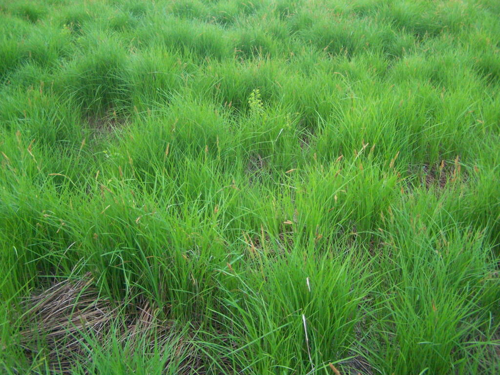
Grasses ...

In Powley Place. It's not all marshy, in part because Mr. Powley when he tried to farm this place, installed tiles that dried this area out enough to make a small field suitable for farming.

Taken on Sunday May 29, 2011 at Piseco-Powley Road.

Map: Floodwood Mountain Trail

More about Piseco-Powley Road...

The 17-mile Piseco-Powley Road is a remote dirt route cutting through the Adirondack's Ferris Lake Wild Forest. It features 22 primitive roadside campsites, including four spots at Powley Place where the road crosses the West Branch of the East Canada Creek.

Download the PDF Map Pack with All Maps from Piseco-Powley Road.

Map: Big Alderbed Lake Trail
Map: Clockmill Corners to NY 10
Map: Edick Road Swimming Hole
Map: Goldmine Stream Falls
Map: House Pond Trail
Map: Lower Powley Bridge to Sugarbush Mountain
Map: Meco Lake Trail (Piseco-Powley Road)
Map: Overview Map Piseco-Powley Road
Map: Piseco Road Swimming Holes
Map: Powley Place - East Canada Creek - Kayak Canoe
Map: Sand Lake
Map: Sand Lake Trail
Map: Sugarbush Mountain to Clockmill Corners
Terrain Map: Juneteenth 2022 Weekend
Terrain Map: Powley Road
Photo: Burnin' Wood
Photo: Rain Lets Up
Photo: After the wildfire
Photo: Powley Campsite 10
Photo: Old Growth Tree Along Trail
Photo: Another Designated Campsite
Photo: End Of The Day
Photo: Pointy
Photo: Reflect
Photo: Wild Flowers

Leave a Reply

Your email address will not be published. Required fields are marked *