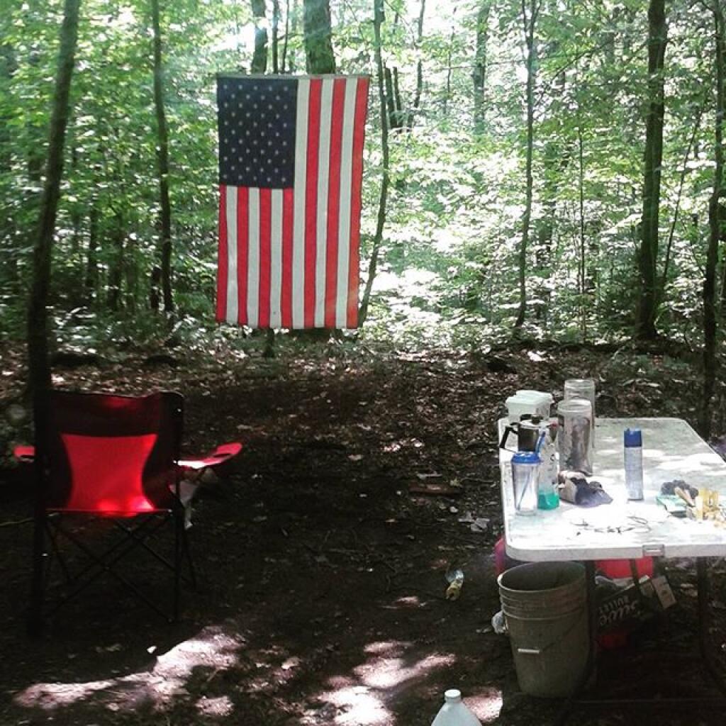
Lazy Sunday

Broomstick Lake Trail
Display Full Screen - Control + Mouse to Pan, SHIFT and +/- to zoom, arrow keys pan around MapLibre GL map.

New Powley Bridge
Looking off the new (temporary) Powley Place Bridge deck, it's a different view not seen by anybody under 119 years old.
Tuesday July 21, 2020 — Piseco-Powley Road — Big Alderbed Lake Trail 🗺 — Clockmill Corners to NY 10 🗺 — Edick Road Swimming Hole 🗺 — Goldmine Stream Falls 🗺 — House Pond Trail 🗺 — Lower Powley Bridge to Sugarbush Mountain 🗺 — Meco Lake Trail (Piseco-Powley Road) 🗺 — Overview Map Piseco-Powley Road 🗺 — Piseco Road Swimming Holes 🗺 — Powley Place - East Canada Creek - Kayak Canoe 🗺 — Sand Lake 🗺 — Sand Lake Trail 🗺 — Sugarbush Mountain to Clockmill Corners 🗺— PDF with All Maps 📚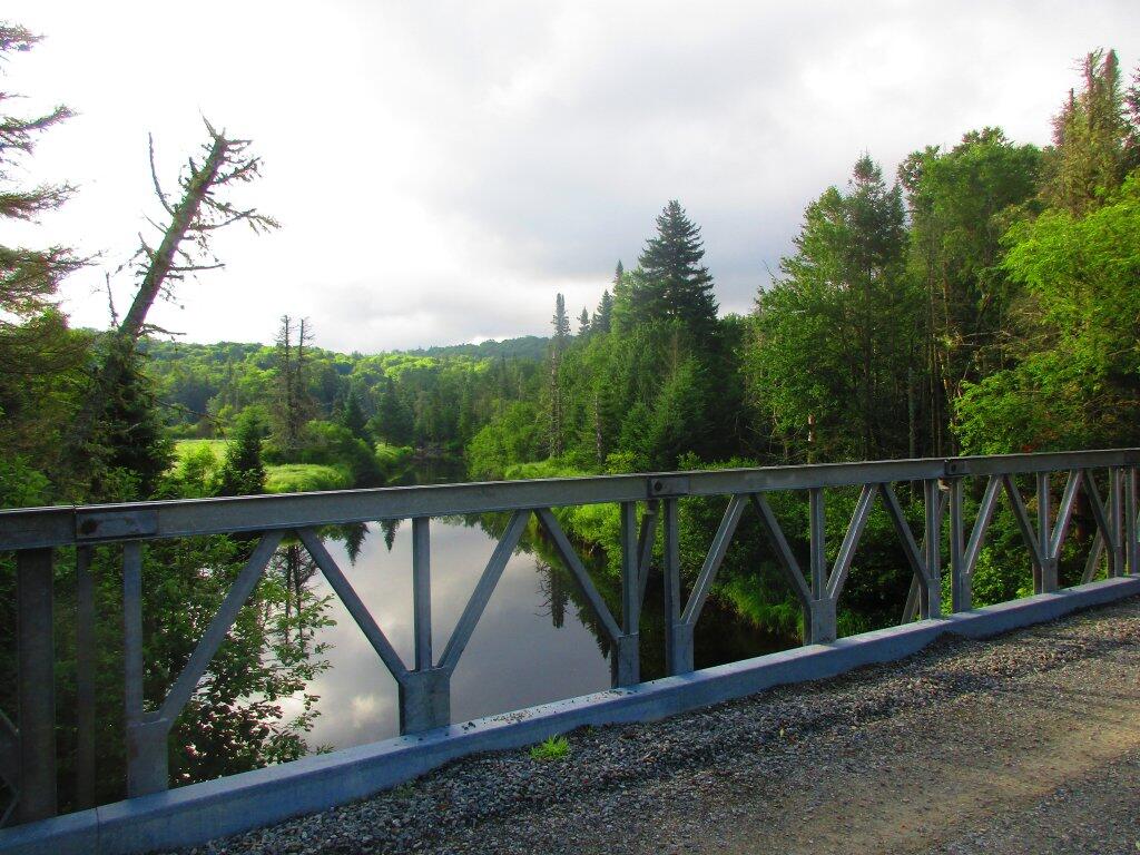

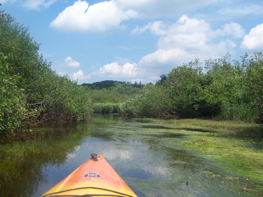
West Branch is Very Shallow
And pretty mucky in spots.
Friday July 22, 2011 — Good Luck Lake — Good Luck Lake 🗺