West Branch East Canada Creek 📍

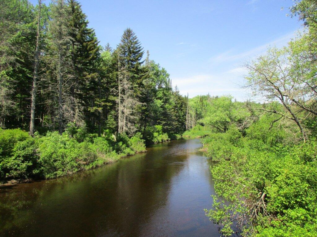
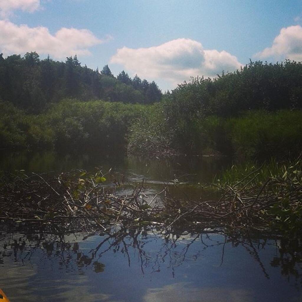
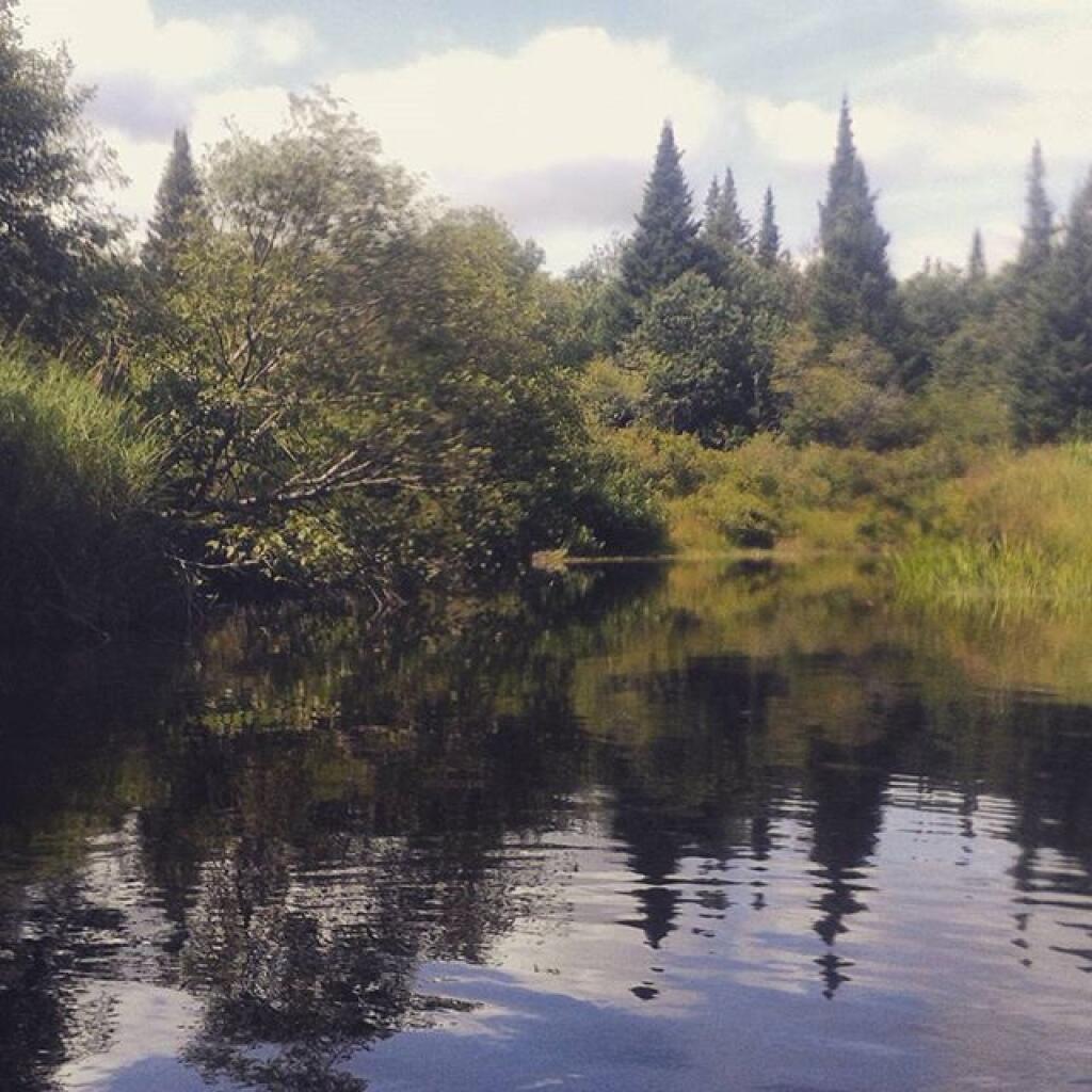
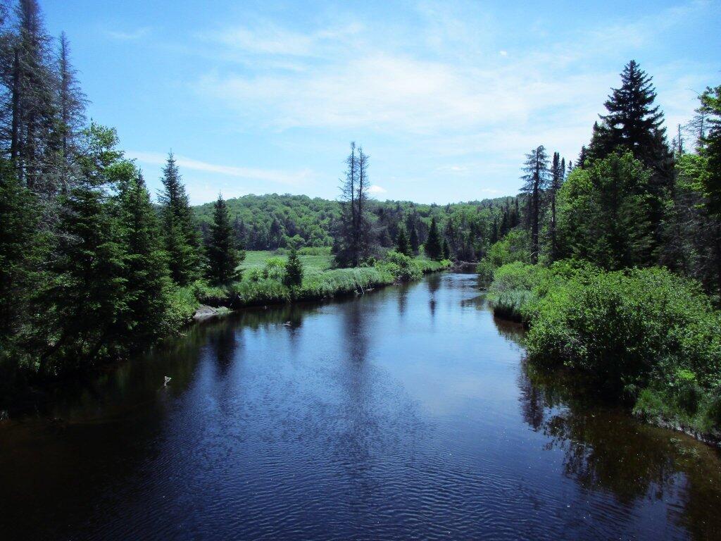
The West Branch of the East Canada Creek is a 4 mile tributary of the East Canada Creek, starting about 3/4 mile east of Powley Place Bridge and proceeding west for about 4 miles to Big Alderbed Lake. Most popular for paddling and to a lesser extent fishing, you can put in around Powley Bridge and paddle west for a 1/4 mile until beaver dams and shallow water will block your kayak or canoe.

Heading south-east from Powley Bridge you can paddle 1/2 mile until you hit the first beaver dam. Around the first beaver dam, is

Except for late summer and other times of very low water, you can easily paddle over the beaver dam, and proceed downsteam for about 2 miles, crossing several other low beaver dams. Once you hear rapids and can see multiple rocks blocking the way, you have reached the end of the navigable section of the creek. There is an informal campsite nearby.

🖼️ Photos
Map: Severence Hill Trail
SVGZ Graphic: How the US House Voted on Fiscal Responsbility Act of 2023
Map: Green Mountain National Forest North
Map: Ketchumville State Forest
Map: Debar Pond