
Essex County πŸ“

Essex County is a county located in the U.S. state of New York. As of the 2010 census, the population was 39,370. Its county seat is Elizabethtown. Along with Hamilton County, Essex is entirely within the Adirondack Park.

Essex County is in the northeastern part of New York State, just west of Vermont along the eastern boundary of the State. The eastern boundary of Essex County is Lake Champlain, which serves as the New York – Vermont border at an elevation of just under 100 feet (30.5 m). The highest natural point in New York, Mount Marcy at 5,344 feet (1,629 m), is in the Town of Keene. The Ausable River forms a partial northern boundary for the county.

http://en.wikipedia.org/wiki/Essex_County,_NY

Download the PDF Map Pack
πŸ—ΊοΈ Maps πŸ–ΌοΈ Photos

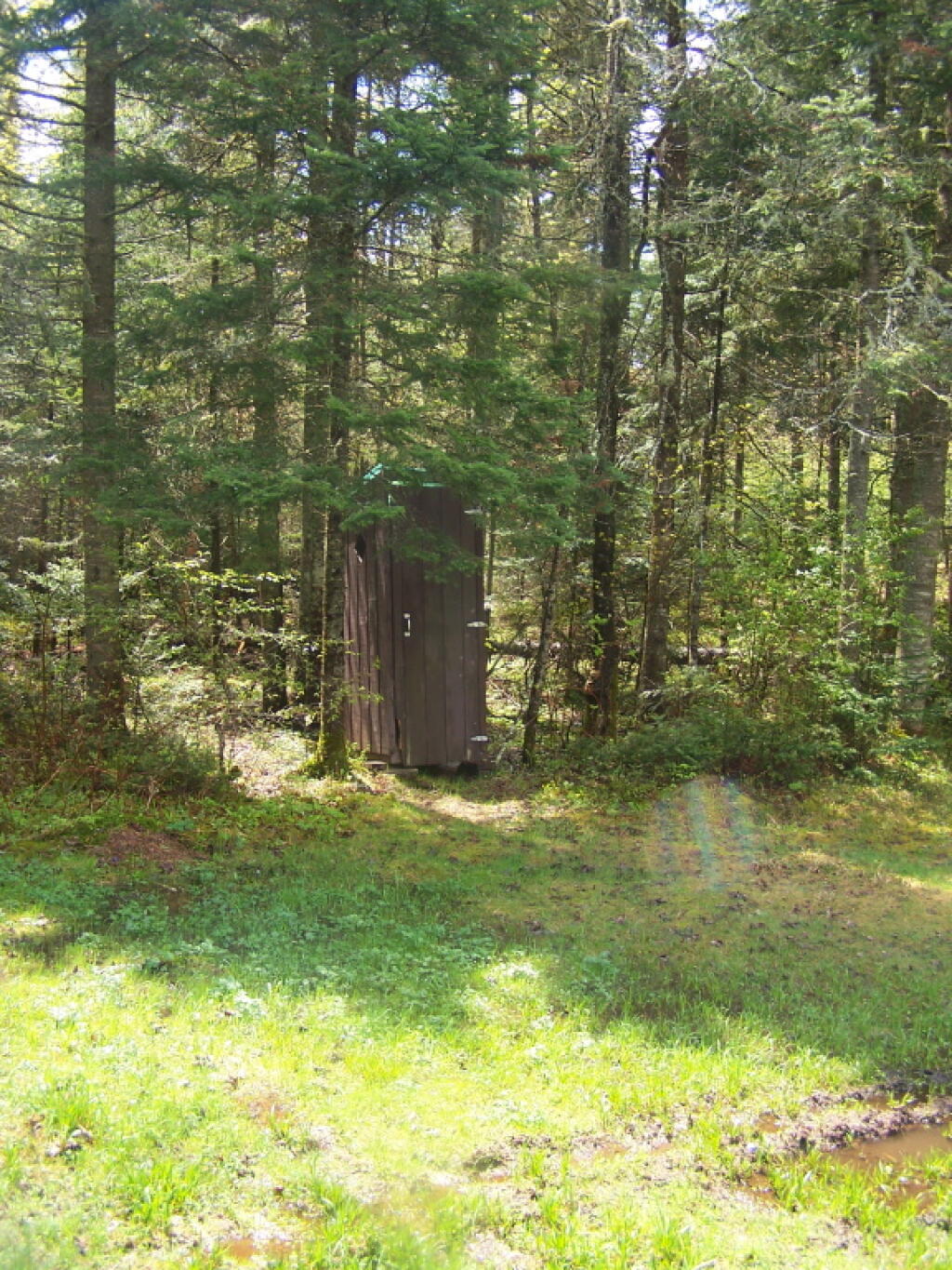
Outhouse Along NY 28/Boreas Camping Area

One good thing about Vanderwhacker Wild Forest, much like Moose River Plains, is most of the campsites have outhouses, which helps keep things cleaner. Many of them seemed to be in decent shape, unlike the fire pits and picnic tables (where they existed), which where rotten and in serious disrepair.

Saturday May 21, 2011 — Vanderwhacker Mountain Wild ForestBig Pond Trail 🗺Boreas Railroad - Moose Club Way To Northwoods Club Road 🗺Boreas River 🗺Bullet Pond And Horseshoe Pond 🗺Roosevelt Truck Trail 🗺Stony Pond 🗺Vanderwhacker Firetower Trail 🗺Vanderwhacker Road Campsites 🗺Wolf Pond Trail 🗺Wolf Pond Trail Ortho 🗺PDF with All Maps 📚
Thematic Map: Adirondack Park – Distance To Buildings

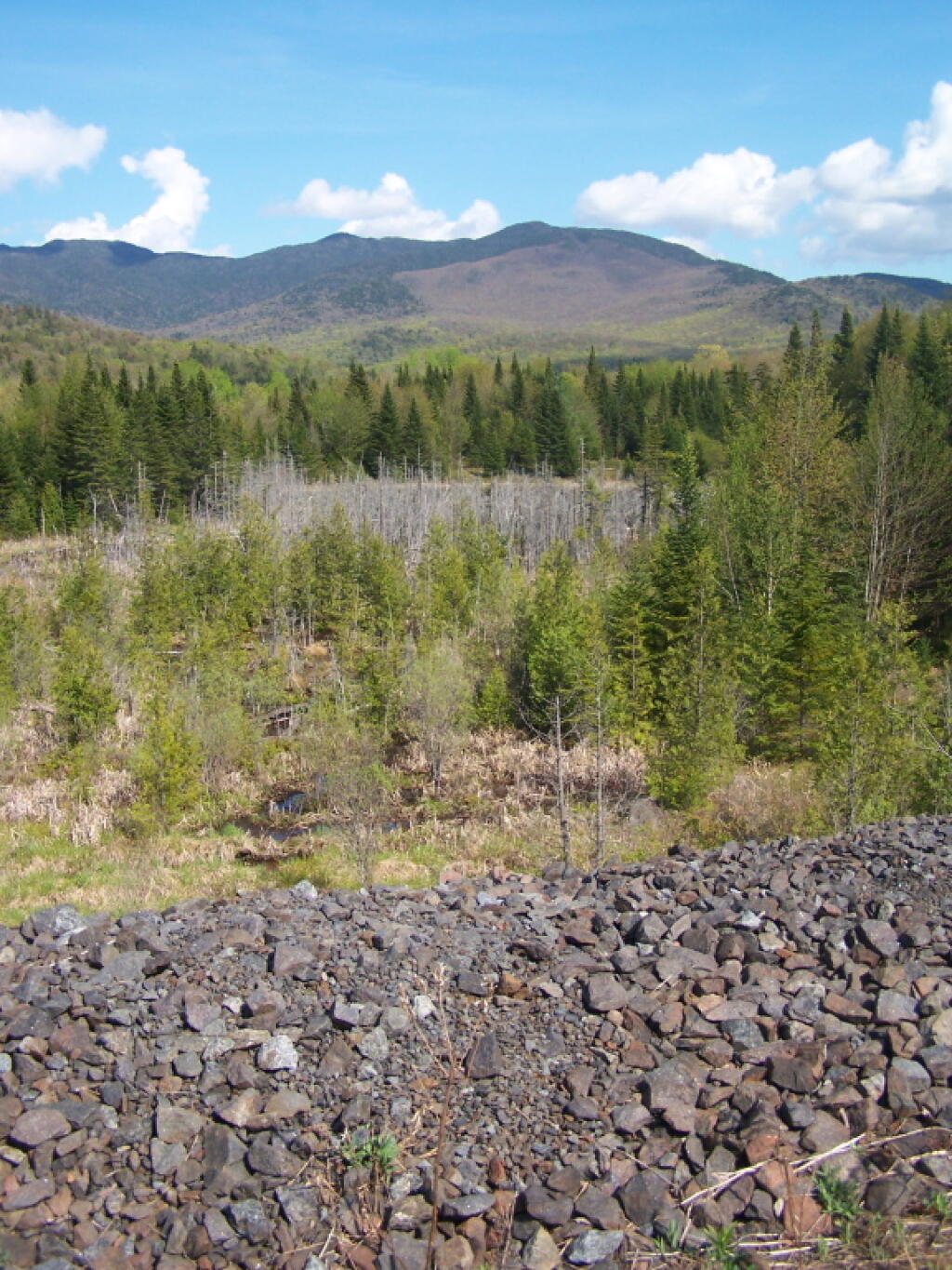
Tailings Pile Guardrail

Along NL Tahawus Road, the shoulder of the road consisted of a tailings from the former mining operation. It was remarkably scenic up here.

Saturday May 21, 2011 — Tahawus
Map: Green Mountain National Forest North