Walking Along the Tahawas Railroad Tracks 🖼️
Download a High Resolution JPEG Image of the Walking Along the Tahawas Railroad Tracks or an Adobe Acrobat Printable PDF of the Walking Along the Tahawas Railroad Tracks.
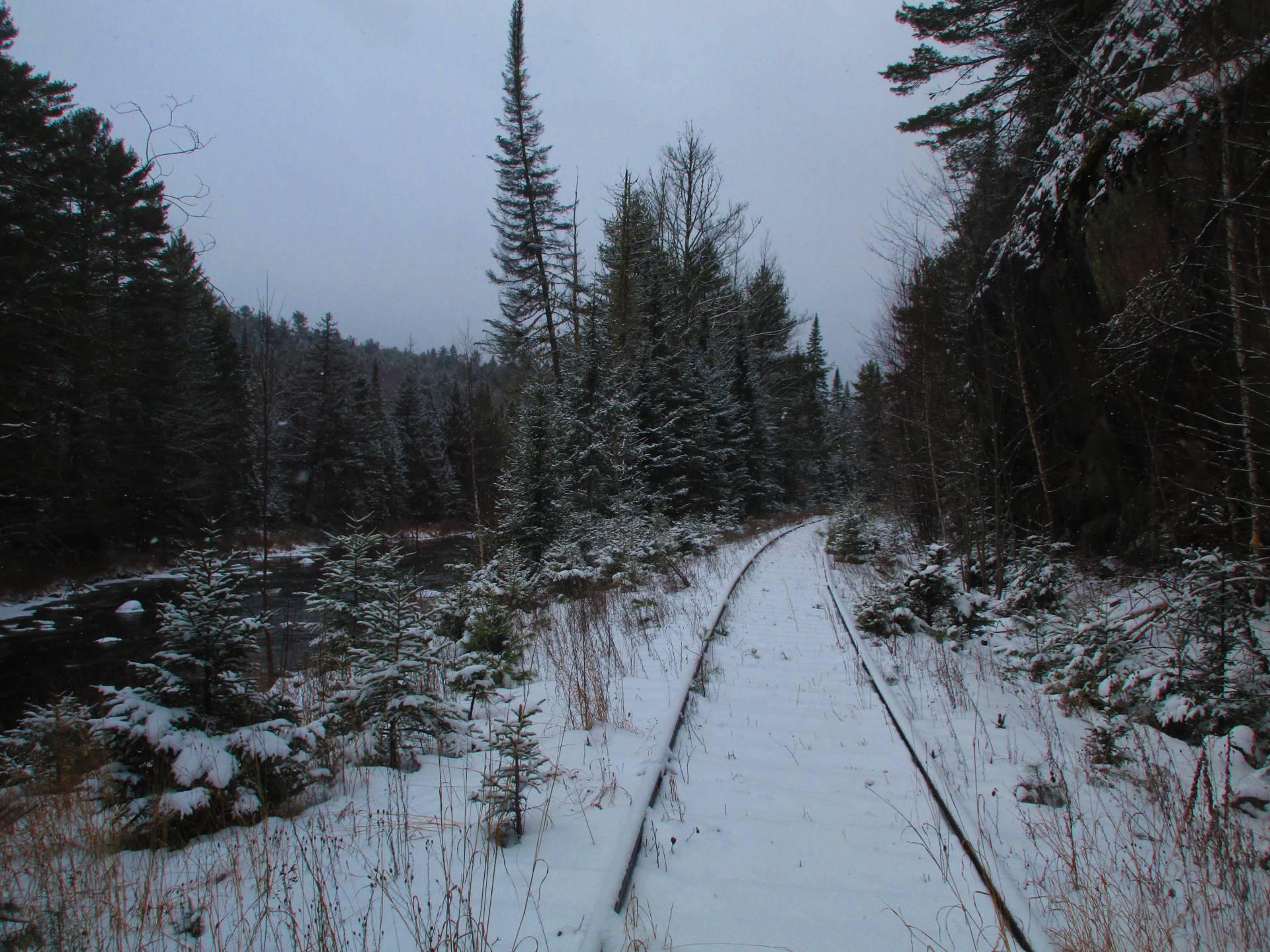
Walking Along the Tahawas Railroad Tracks ...
I had to think what an asset that they would be if they took up the tracks and turned it into a bike way, similar to the Adirondack Rail Trail. While in theory thei owner wants the ability to mine Tahawas again, it seems they are essentially abandoned and overgrown, though it looks like they were trimmed back a few years back. The Boreas River runs right along this section of track, and would have some great views if it was bicycable in summer and in winter open to snowmobiles without the danger of the trackage.
Taken on Sunday November 30, 2025 at Vanderwhacker Mountain Wild Forest.

More about Vanderwhacker Mountain Wild Forest...
Vanderwhacker Mountain Wild Forest is a 91,854-acre public preserve in New York’s Adirondack Park. The diverse terrain features quiet lakes, vast wetlands, and rugged peaks. The highlight is the 3,386-foot Vanderwhacker Mountain, which features a restored fire tower offering panoramic views of the High Peaks. Visitors enjoy primitive camping, backcountry hiking, paddling, and snowmobiling. It provides a peaceful, less-crowded wilderness experience for outdoor enthusiasts seeking rugged Adirondack beauty.
Download the PDF Map Pack with All Maps from Vanderwhacker Mountain Wild Forest.


