
Essex County 📍

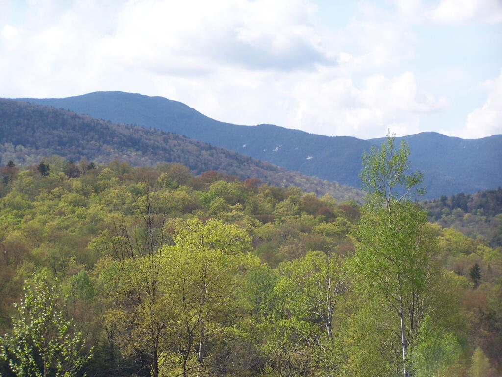
Essex County is a county located in the U.S. state of New York. As of the 2010 census, the population was 39,370. Its county seat is Elizabethtown. Along with Hamilton County, Essex is entirely within the Adirondack Park.

Essex County is in the northeastern part of New York State, just west of Vermont along the eastern boundary of the State. The eastern boundary of Essex County is Lake Champlain, which serves as the New York – Vermont border at an elevation of just under 100 feet (30.5 m). The highest natural point in New York, Mount Marcy at 5,344 feet (1,629 m), is in the Town of Keene. The Ausable River forms a partial northern boundary for the county.

http://en.wikipedia.org/wiki/Essex_County,_NY

🖼️ Photos
Map: Chautauqua Lake Fish and Wildlife Mangement Areas
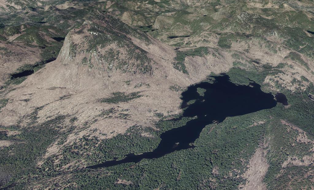
Map: Fawn Lake
SVGZ Graphic: Declaring_it_is_the_policy_of_the_United_States_that_a_nuclear_Islamic_Republic_of_Iran_is_not_accep

Roosevelt Truck Trail

The Roosevelt Truck Trail is located outside of Newcomb off NY 28N and Blue Ridge Road within the Vanderwhacker Mountain Wild Forest, a 2.5 miles unpaved path through boreal forest. Originally a fire truck access road, this trail now serves as a multi-use corridor for adventurers seeking a quieter, deep-woods experience in the Adirondack Park.

  • Hiking: The trail runs between Route 28N and Blue Ridge Road. While the southern half is well-maintained, be prepared for some blowdown and overgrowth on the northern end near Vanderwhacker Brook.
  • Mountain Biking: Its origins as a truck road make it an ideal surface for mountain biking. The wide path allows for side-by-side riding in many sections, though high clearance/sturdy tires are recommended for the unpaved terrain.
  • Birding & Nature: It is a premier location for spotting boreal species like the Black-backed Woodpecker and Canada Jay.

The Roosevelt Truck Trail Ortho

Between the Tall White Pines of Roosevelt Truck Trail

Backcountry Camping & Accessibility

  • Accessible Sites: About one mile from the Route 28N trailhead, you’ll find two firm, level tent sites equipped with accessible picnic tables and privies.
  • Motorized Access: Individuals with a Motorized Access Permit for People with Disabilities (MAPPWD) can obtain a gate combination from the NYSDEC to drive a high-clearance vehicle directly to these sites.
  • Primitive Camping: At-large camping is permitted throughout the area, provided sites are at least 150 feet from the trail or water sources.

Riding along the Roosevelt Truck Trail

Note down trees may require bicycles and gear to be carried of trunks. Parts of the trail are more overgrown.

Roosevelt Truck Trail Campsite 1

Hunting and Trapping Opportunities

  • Backcountry Access: The trail allows hunters and trappers to transport gear deep into the boreal habitat, which is frequently used by Moose and Black Bear.
  • Regulations: Hunting and trapping are permitted during open seasons. Trapping is prohibited within 50 feet of the center of the official trails, and hunters must possess a valid NYS Hunting License.
  • Safety: During the Regular Hunting Season, all trail users are strongly encouraged to wear blaze orange for visibility.
FeatureDetails
Distance2.5 miles (one-way)
TrailheadsRoute 28N (South) and Blue Ridge Road (North)
Elevation Change~260–375 feet depending on direction
Top WildlifeMoose, Black Bear, Boreal Chickadee
Map: Tirrell Pond Trail
Map: Bullhead Pond Trail

Less Muddy Section of Moose Club Way

Moose Club way had a little gravel reinforcement in parts, especially the muddiest parts. It was passable, but in some parts was really pretty bad.

Saturday May 21, 2011 — Vanderwhacker Mountain Wild ForestBig Pond Trail 🗺Boreas Railroad - Moose Club Way To Northwoods Club Road 🗺Boreas River 🗺Bullet Pond And Horseshoe Pond 🗺Roosevelt Truck Trail 🗺Stony Pond 🗺Vanderwhacker Firetower Trail 🗺Vanderwhacker Road Campsites 🗺Wolf Pond Trail 🗺Wolf Pond Trail Ortho 🗺PDF with All Maps 📚
Map: Lamoka Lake