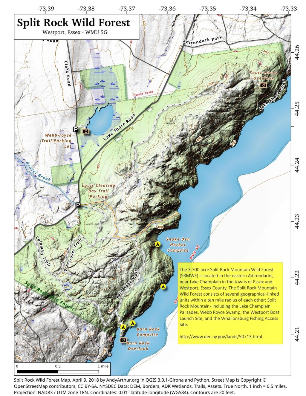
Essex County πŸ“

Essex County is a county located in the U.S. state of New York. As of the 2010 census, the population was 39,370. Its county seat is Elizabethtown. Along with Hamilton County, Essex is entirely within the Adirondack Park.

Essex County is in the northeastern part of New York State, just west of Vermont along the eastern boundary of the State. The eastern boundary of Essex County is Lake Champlain, which serves as the New York – Vermont border at an elevation of just under 100 feet (30.5 m). The highest natural point in New York, Mount Marcy at 5,344 feet (1,629 m), is in the Town of Keene. The Ausable River forms a partial northern boundary for the county.

http://en.wikipedia.org/wiki/Essex_County,_NY

Download the PDF Map Pack
πŸ—ΊοΈ Maps πŸ–ΌοΈ Photos

Grizzle Ocean

It's supposedly named after a logger who bragged that the fish he caught there were large enough to have come from an ocean. These days, the water is stocked with brook trout. Bring a kayak or a fishing pole in warmer weather, or snowshoes in winter. For those who really want to get away from it all, there's a lean-to beside the shore. https://poststar.com/get-out/hiking/grizzle-ocean-in-pharoah-lake-wilderness-area/article_1e20e9dd-d6ee-51ae-a42b-9a6b7f3e5f9c.html

Map: Shelving Rock Road and Dacy Clearing Road
Map: Saratoga Sand Plains Wildlife Management Area
Terrain Map: Indian Fields Before the Alcove Reservior

Mud Soaked Ford Ranger

Did I mention that Moose Club Way was awful muddy? Fun though. I wish I had remember to top off the windshield washer fluid first though. The kayak road perfectly fine on the roof, tied down with bungees and ropes, despite the rough truck trail.

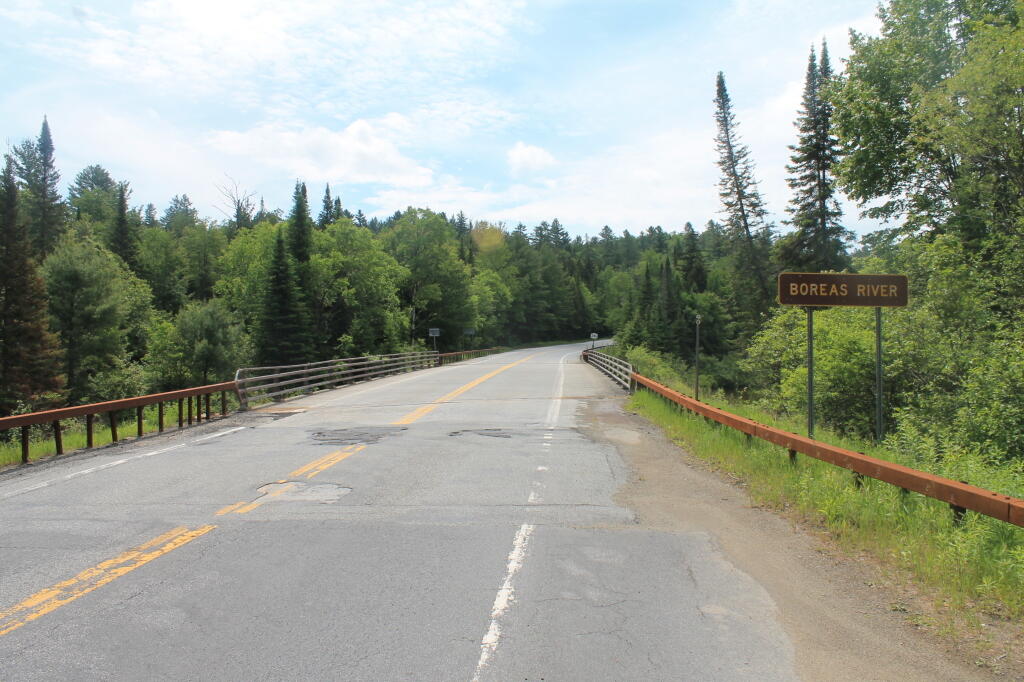
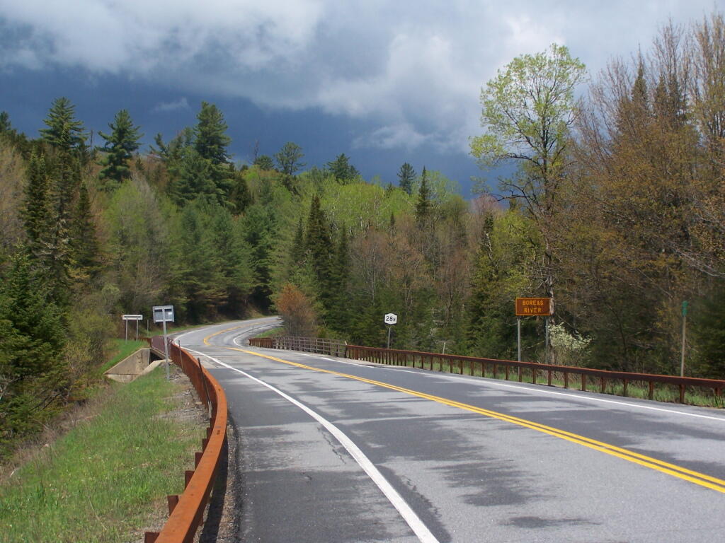
Saturday May 21, 2011 — Vanderwhacker Mountain Wild ForestBig Pond Trail 🗺Boreas Railroad - Moose Club Way To Northwoods Club Road 🗺Boreas River 🗺Bullet Pond And Horseshoe Pond 🗺Roosevelt Truck Trail 🗺Stony Pond 🗺Vanderwhacker Firetower Trail 🗺Vanderwhacker Road Campsites 🗺Wolf Pond Trail 🗺Wolf Pond Trail Ortho 🗺PDF with All Maps 📚
Map: Sand Lake