Ferris Lake Wild Forest 📍

Encompassing a vast expanse of 147,454 acres, the Ferris Lake Wild Forest is characterized by the presence of ancient spruce stands. These can be observed along the Powley-Piseco Road, the northern banks of Alderbed Stream, the vicinity of Blind Man’s Vly, and the slopes of both Big and Little Alderbed Mountains. Adding to its allure, the region boasts an array of ponds, lakes, and streams, attracting outdoor enthusiasts and sportsmen year-round.

The Wild Forest accommodates 14.6 miles of hiking trails, along with an extensive 117-mile network of snowmobile trails (many of which are multi-use), catering to various recreational preferences. With 97 primitive campsites, a boat launch, and a boat dock, the area is well-equipped for adventurers. Furthermore, the public can access 10.95 miles of roads, granting motorized entry to this expansive and captivating property.

https://www.dec.ny.gov/lands/114279.html

Download the PDF Map Pack
🗺️ Maps 🖼️ Photos 📽️ Videos

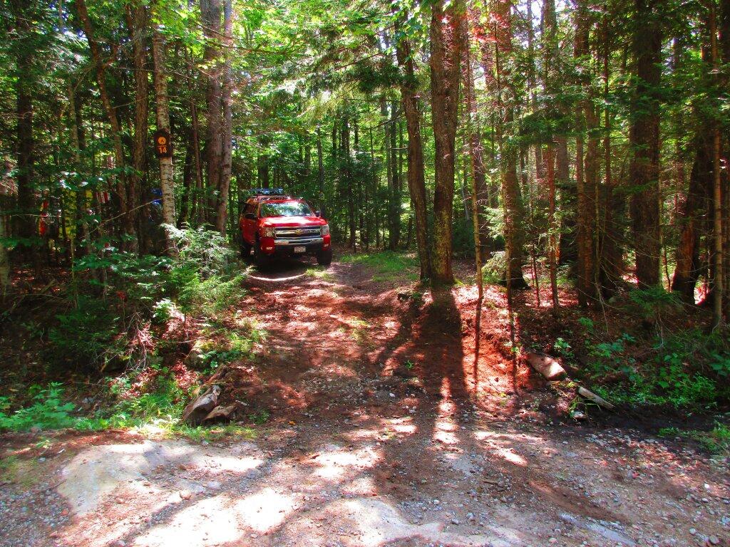
Rebuilt Driveway

When I first got to Campsite 14, the driveway up to it was steeply erroded by last years flooding, making it easy for passenger cars and even stock trucks to get hung up. I didn't like how step it was either because I was having trouble getting in and out without four-wheel drive on. So I dredged some material from the drainage ditches, and hauled some heavy rock to build up and smooth the entance to the campsite, so while it's still not perfect -- really needs a culvert -- it should make it a lot easier to get in and out, especilaly for passenger cars. I am hoping the small boulders I put in place along with the ditching I did for rain, will keep this campsite driveway from erroding so quickly in the future.

Saturday July 25, 2020 — Piseco-Powley RoadBig Alderbed Lake Trail 🗺Clockmill Corners to NY 10 🗺Edick Road Swimming Hole 🗺Goldmine Stream Falls 🗺House Pond Trail 🗺Lower Powley Bridge to Sugarbush Mountain 🗺Meco Lake Trail (Piseco-Powley Road) 🗺Overview Map Piseco-Powley Road 🗺Piseco Road Swimming Holes 🗺Powley Place - East Canada Creek - Kayak Canoe 🗺Sand Lake 🗺Sand Lake Trail 🗺Sugarbush Mountain to Clockmill Corners 🗺PDF with All Maps 📚
Map: Chautauqua Lake Fish and Wildlife Mangement Areas

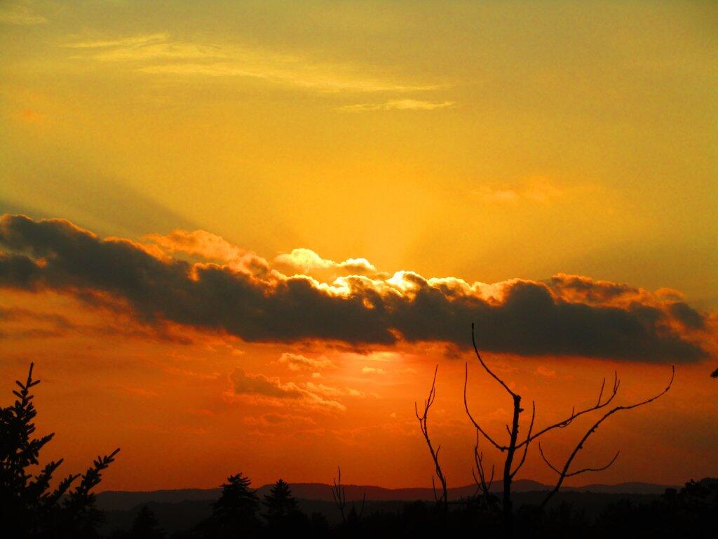
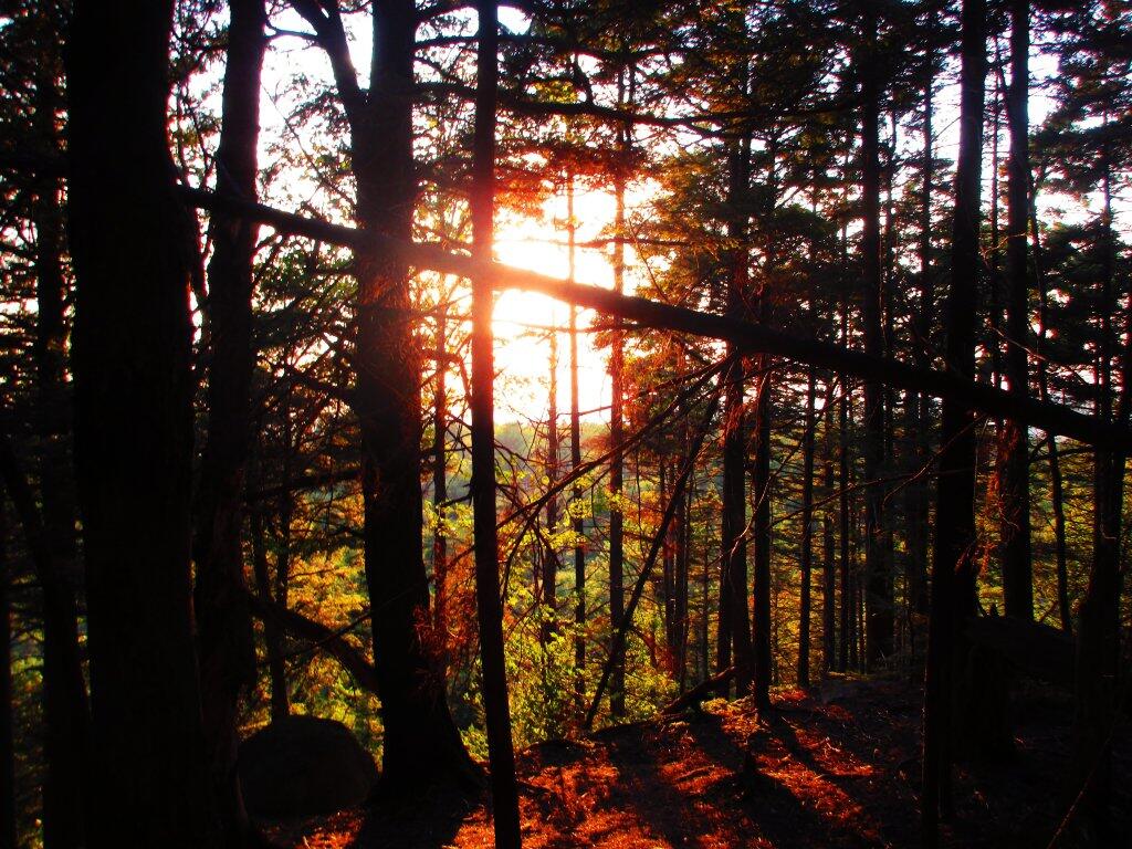
God Rays

For a while, one couldn't see any of the sunset, because the sun had dropped behind a bank of clouds. But it turned out to be a beautiful evneing.

Sunday July 26, 2020 — Good Luck LakeGood Luck Lake 🗺
Map: Hoel Pond
3D Map: Chautaqua Gorge State Forest
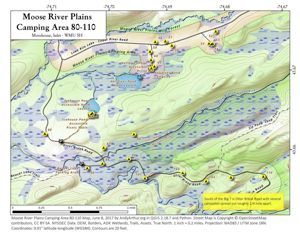
Map: Moose River Plains Camping Area 80-110
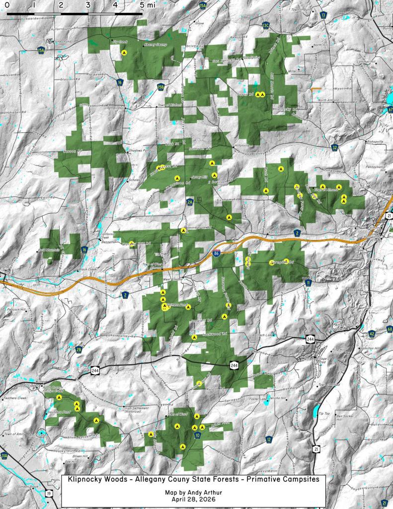
Map: Klipnocky Woods - Allegany County State Forest - Primative Camping Opporunties