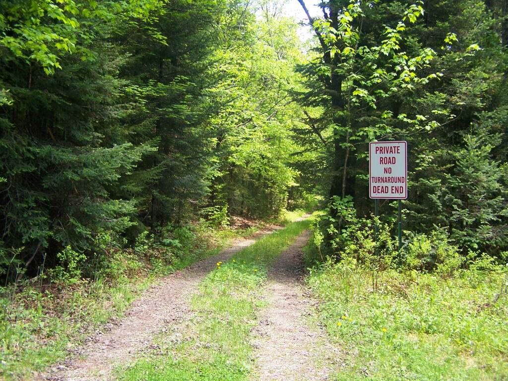
Ferris Lake Road
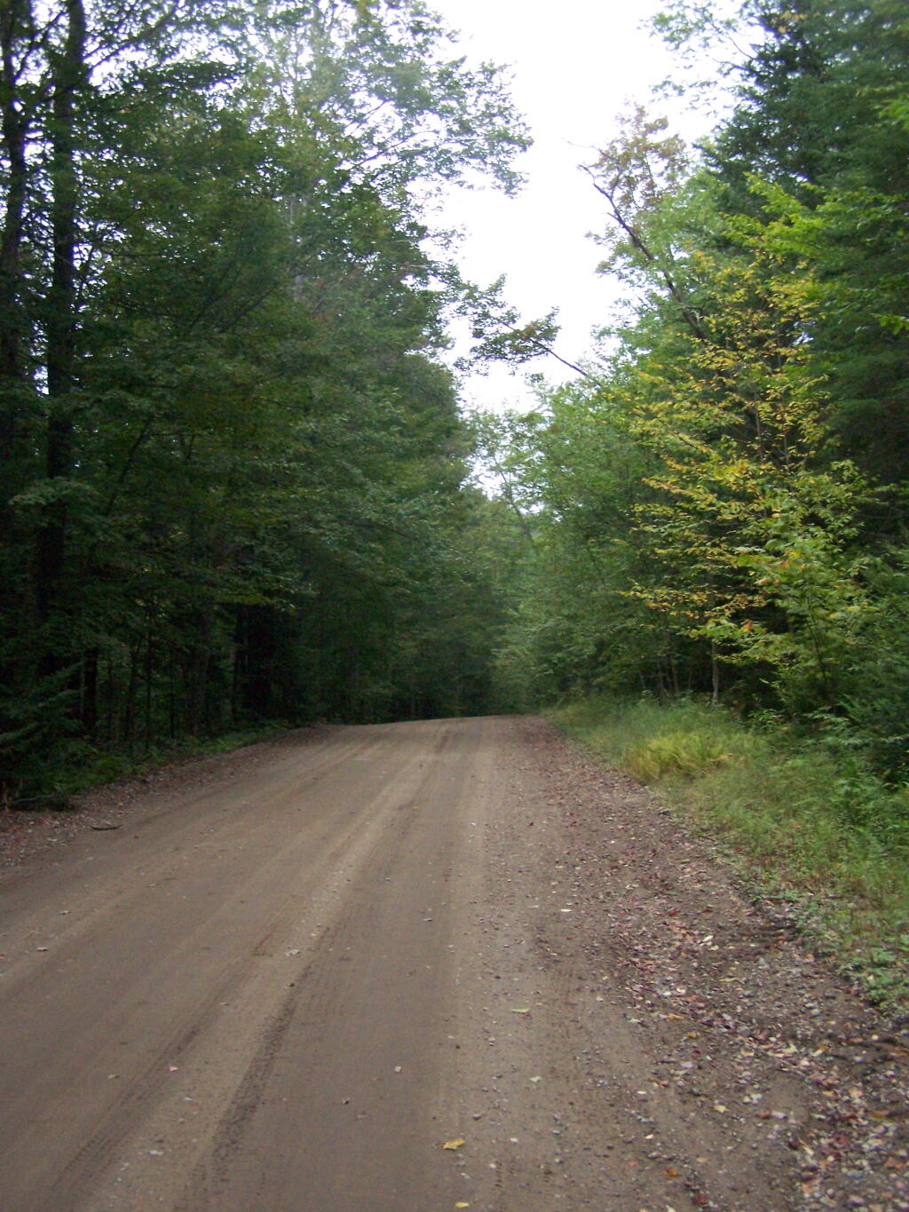
NY DEC maintains 4/10th of a mile of Ferris Lake Road, which is a dead end without a turn around -- as the sign says. I was hoping to hike it to the end, then bushwack around Camp Watagah, but the rain made the creeks too flooded to successfully bushwhack around this inholding.
Saturday May 28, 2011 — Piseco-Powley Road — Big Alderbed Lake Trail 🗺 — Clockmill Corners to NY 10 🗺 — Edick Road Swimming Hole 🗺 — Goldmine Stream Falls 🗺 — House Pond Trail 🗺 — Lower Powley Bridge to Sugarbush Mountain 🗺 — Meco Lake Trail (Piseco-Powley Road) 🗺 — Overview Map Piseco-Powley Road 🗺 — Piseco Road Swimming Holes 🗺 — Powley Place - East Canada Creek - Kayak Canoe 🗺 — Sand Lake 🗺 — Sand Lake Trail 🗺 — Sugarbush Mountain to Clockmill Corners 🗺— PDF with All Maps 📚