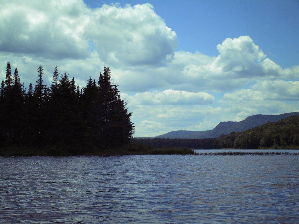
Island With Sturges Hill In The Distance


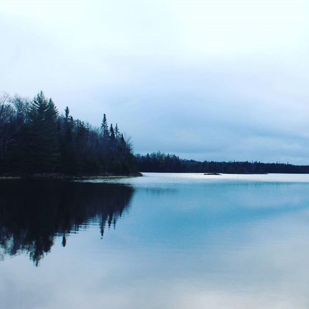
This beautiful pond is passed on Cedar Flow Road (which later becomes Moose River Plain Road), as you go bumpy-bump towards the Cedar Flow Camping Area.
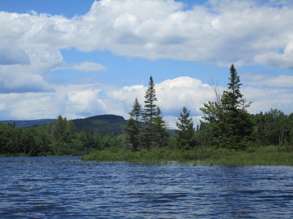
Saturday July 3, 2010 — Cedar River Flow — Wakely Dam Campsites 🗺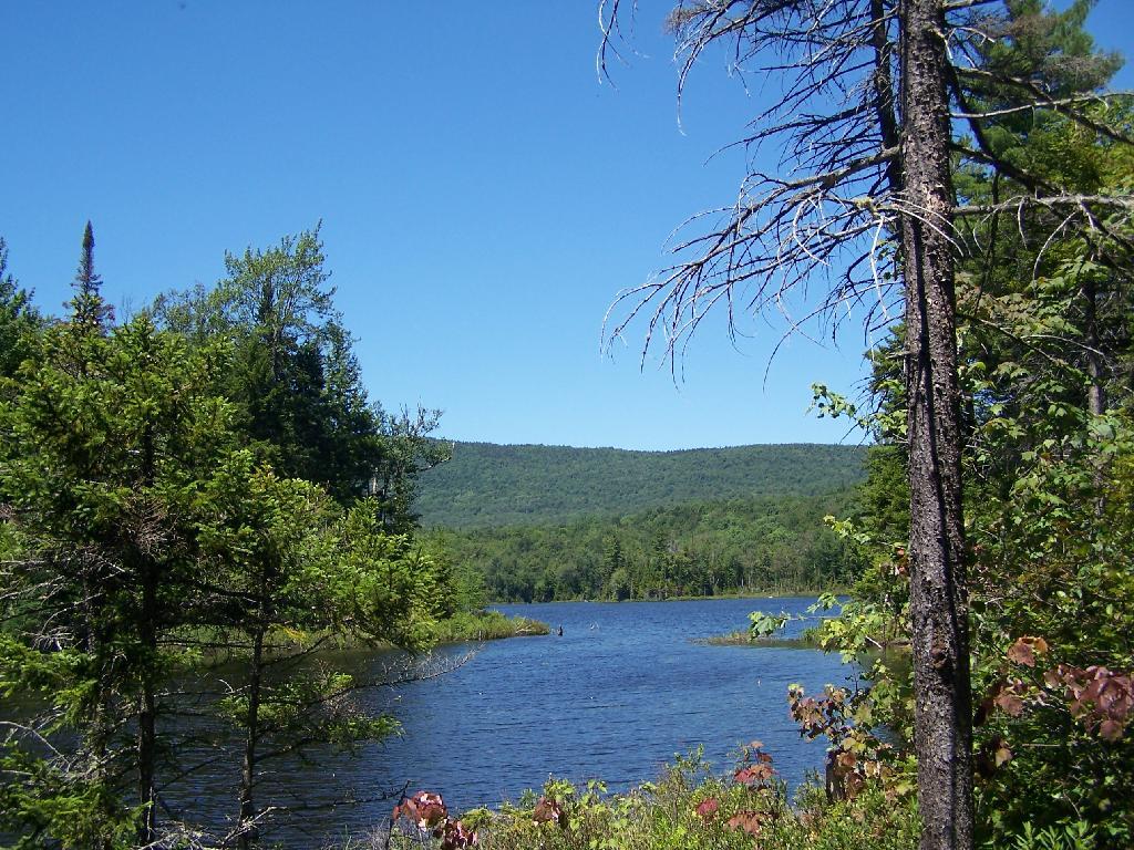

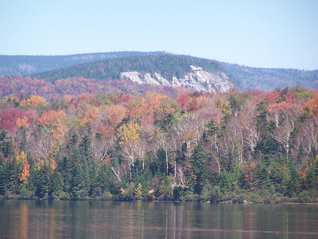
As seen from the Cedar River Flow, zoomed in quite a bit.
Monday September 26, 2011 — Cedar River Flow — Wakely Dam Campsites 🗺