Hazy Catskills
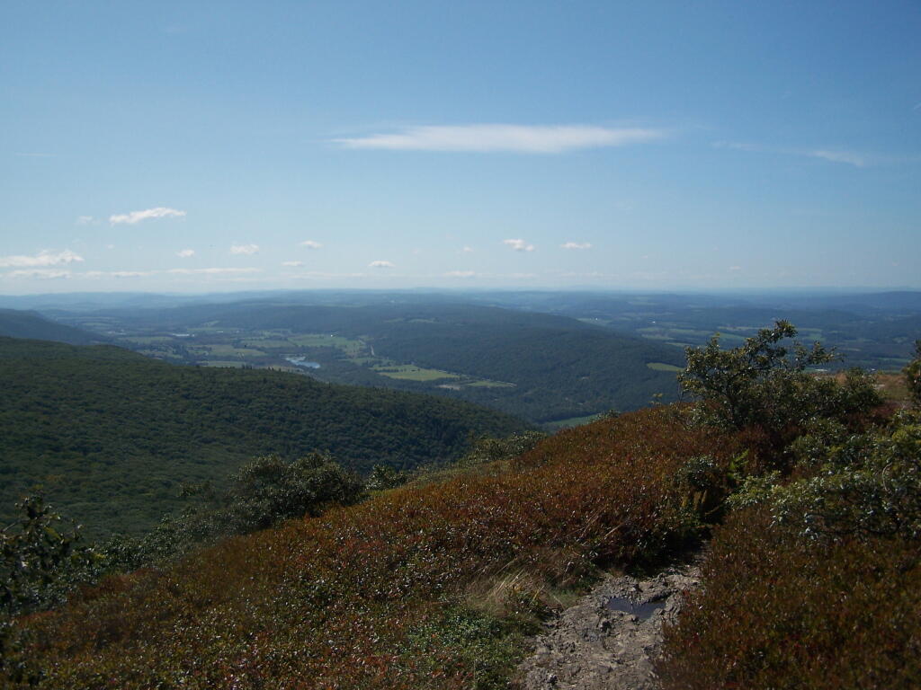
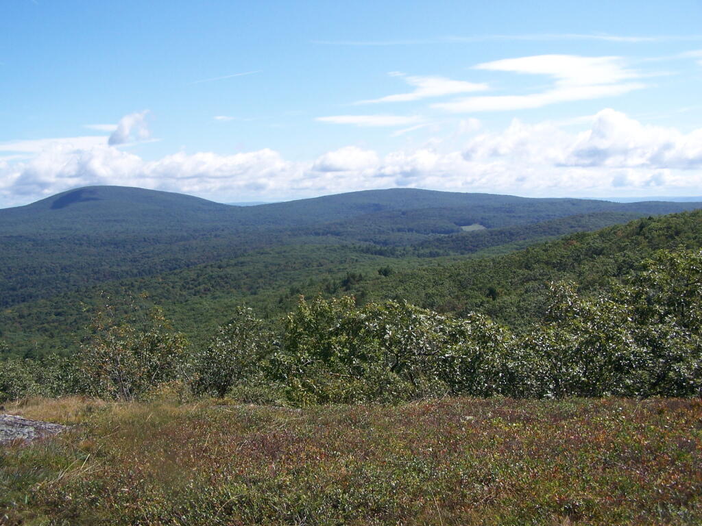
I just wish it was clearer. Maybe if I come back up here in the fall, although I realise realistically, it's never that clear in the east.
Sunday September 13, 2009 — Alander Mountain

I just wish it was clearer. Maybe if I come back up here in the fall, although I realise realistically, it's never that clear in the east.
Sunday September 13, 2009 — Alander Mountain
The South Taconic Trail descends right down the extended face of Alander Mountain for even more exciting views.
Sunday September 13, 2009 — Alander Mountain

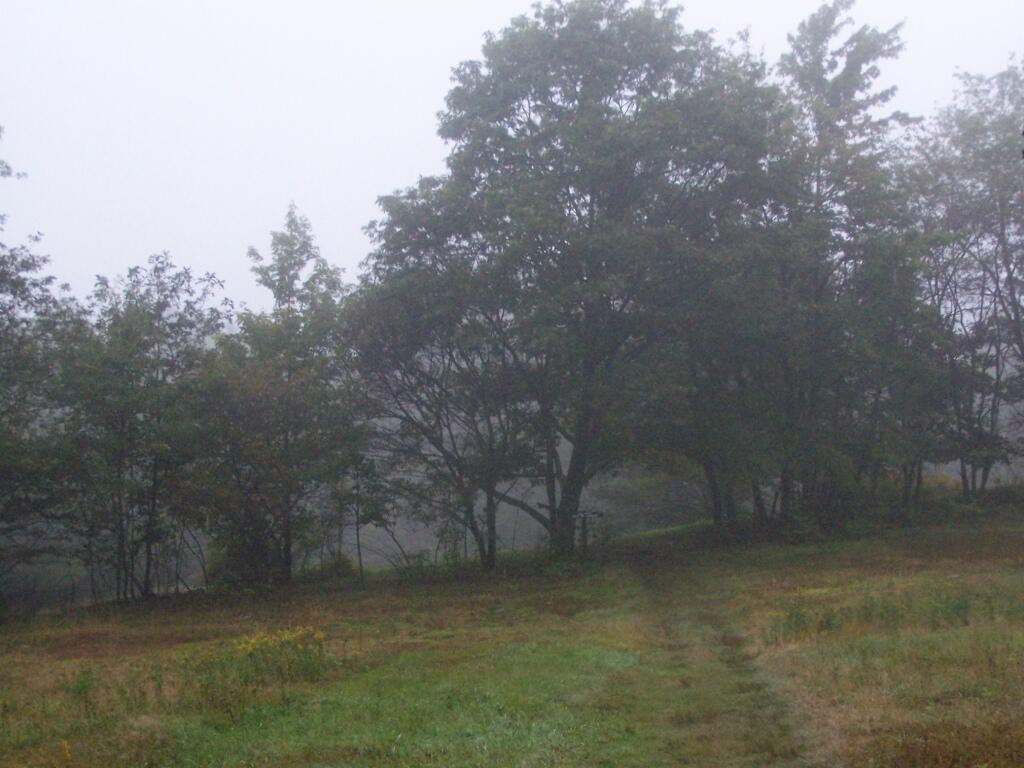
When I first arrived at the trailhead for Alander it was socked in a heavy fog / misty rain. And of course I forgot to bring a rain coat.
Sunday September 13, 2009 — Alander Mountain