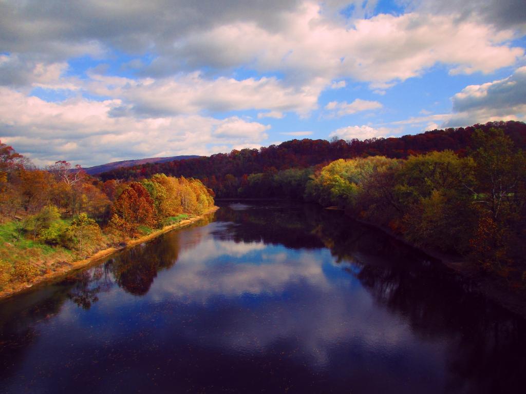
Potomac River from the Paw Paw Bridge


I was trying to figure out if the steep cliffs here were from GOB piles from coal mining but I think it's just where the Potomac River has worn against the steep cliffs over the years.
Sunday October 22, 2023 — C&O Canal Towpath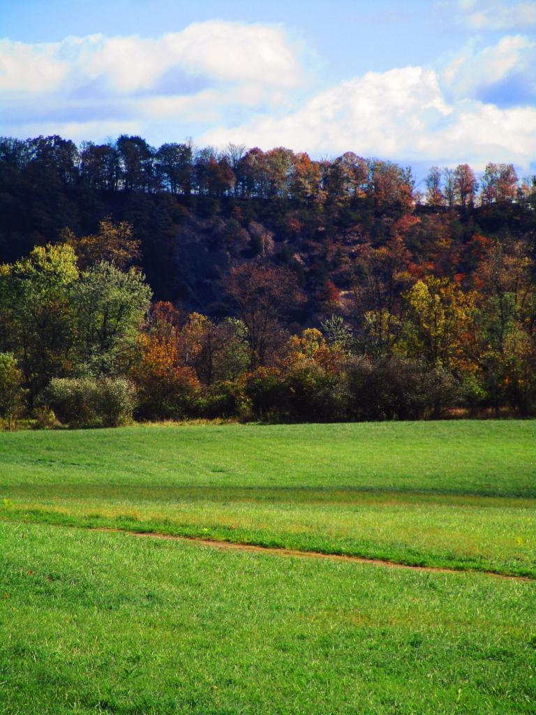

After the Paw Paw tunnel and the cut through the hillside, the C&O Canal follows a natural valley between the hills.
Saturday October 28, 2023 — C&O Canal Towpath

Heading towards the Paw Paw Tunnel.
Saturday October 28, 2023 — C&O Canal Towpath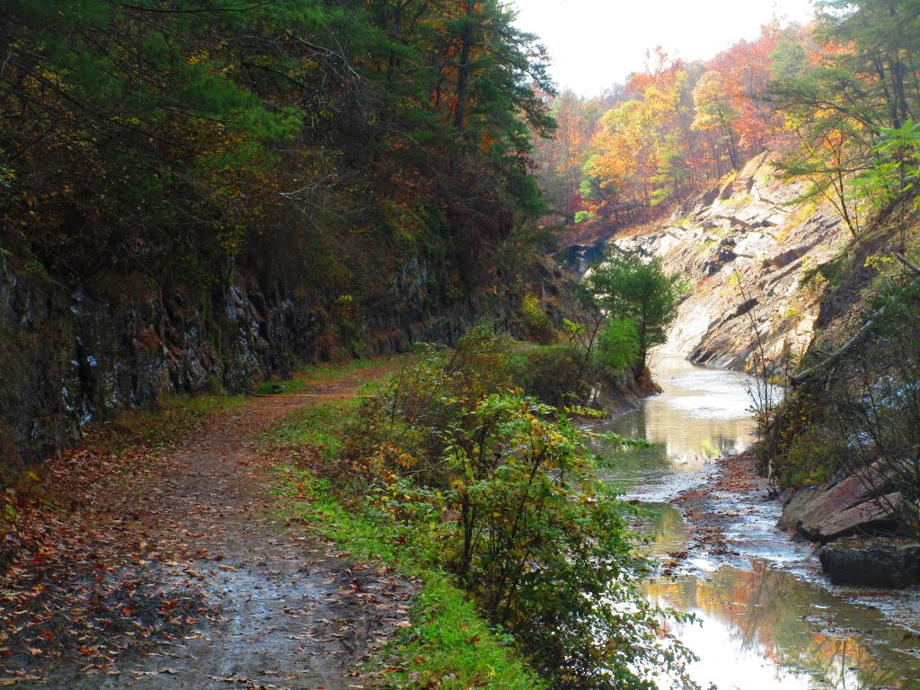

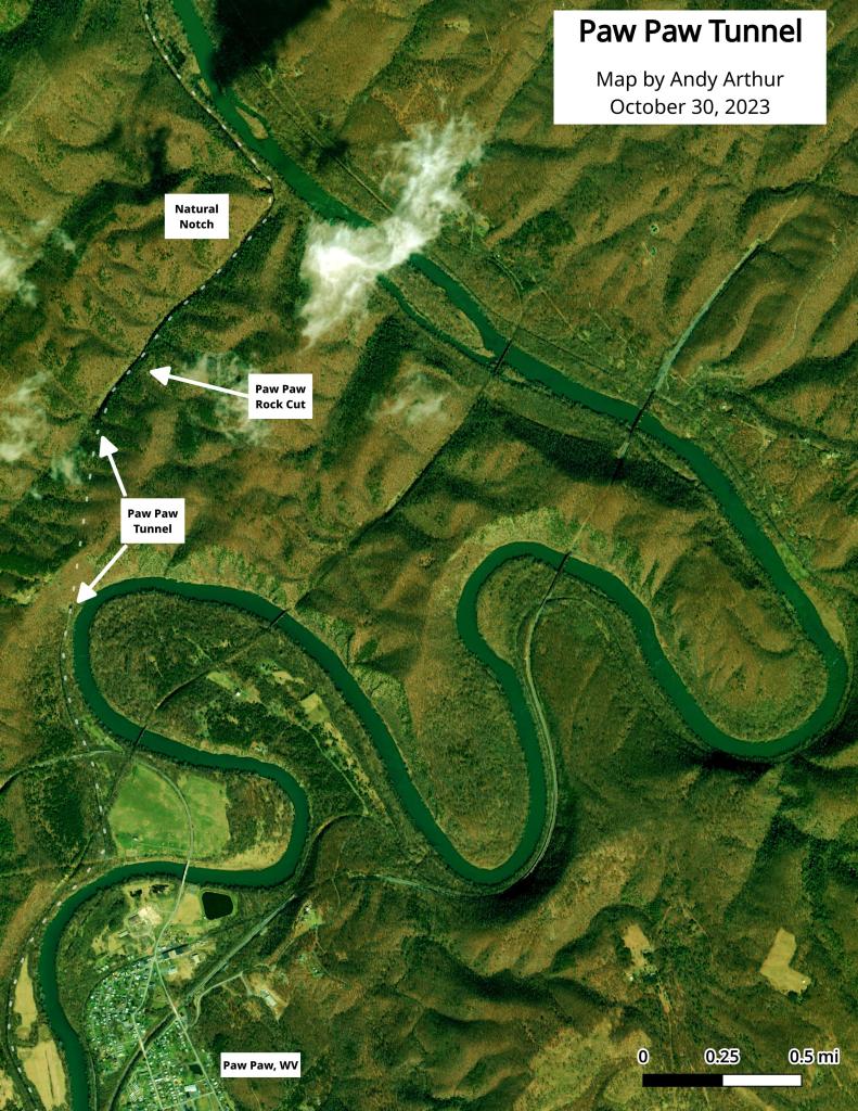
Here is an aerial photo of the Paw Paw Tunnel.