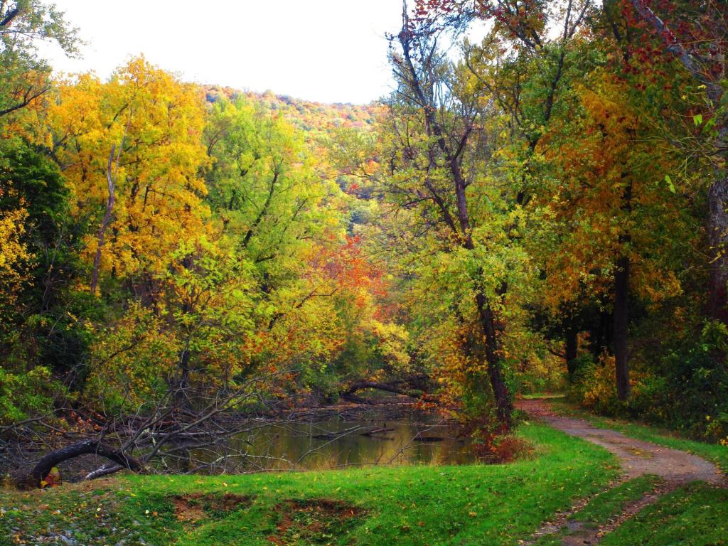
Below Lock 75

North End of the Paw Paw Tunnel
If you look carefully, you can see kayakers paddling in nearly complete darkness in the Paw Paw Tunnel. I had my bike light on and used the flash but I could barely make them out in the darkness of the tunnel.
Saturday October 28, 2023 — C&O Canal Towpath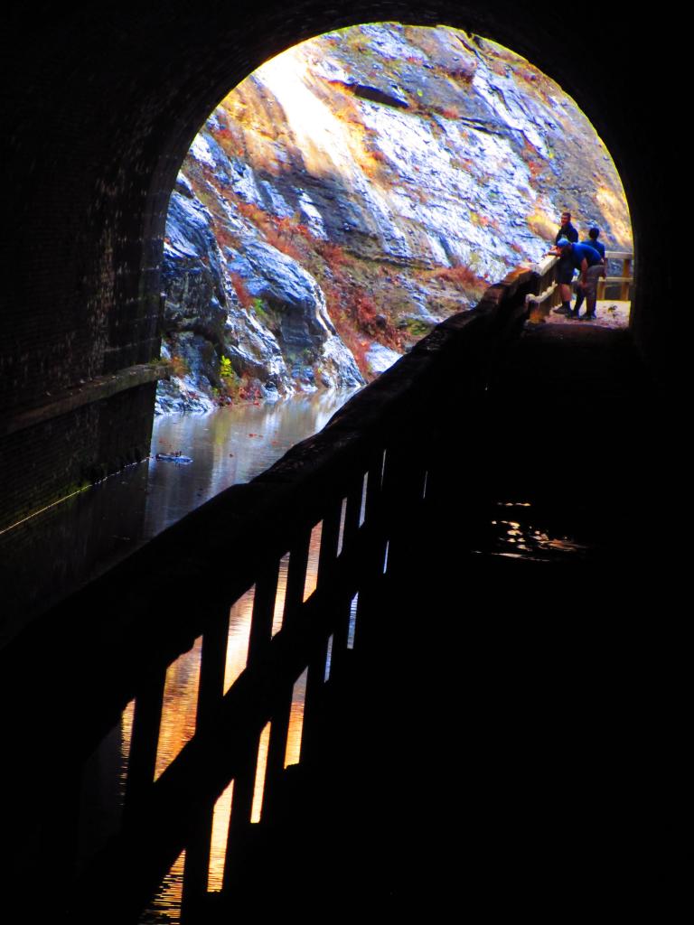

Paw Paw Tunnel
Inside the Paw Paw Tunnel which is 3/4 mile long canal bypass under a mountain. The towpath is the hike/bike trail while you can kayak the canal itself. Both recommend either a good flashlight or a bright bicycle light (I had both, plus I was fairly nearly the south end).
Saturday October 28, 2023 — C&O Canal Towpath
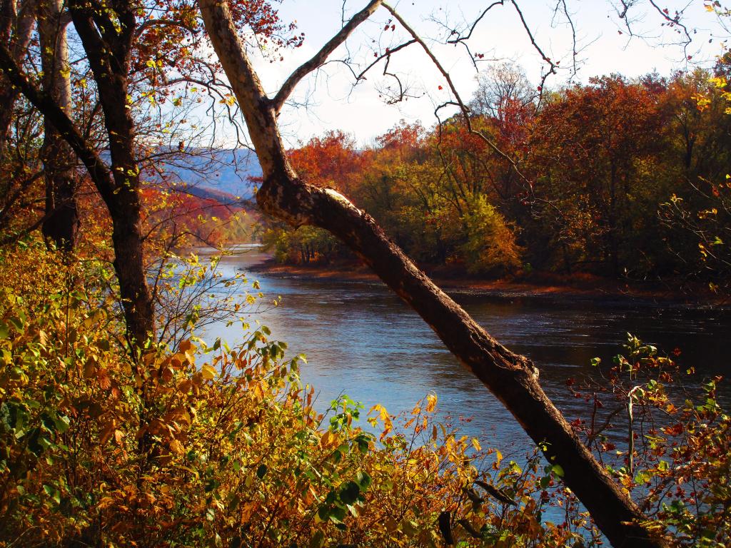
Potomac River Downstream of Paw Paw Tunnel
Potomac River downstream of the Paw Paw Tunnel from the C&O Trail.
On the left side is Maryland, while on the right is West Virginia. In the distance is Town Hill, which is part of Maryland's Green Ridge State Forest.
Saturday October 28, 2023 — C&O Canal Towpath