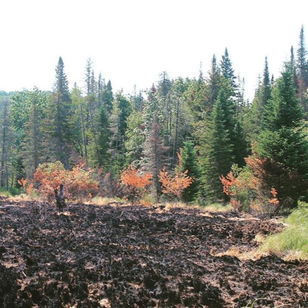
After the wildfire 🖼️
Download a JPEG Image of the After the wildfire.
After the wildfire ...
Back in 2016, there was a grass fire at Powley Place along the East Canada Creek. I don't know if it occurred before or after the road had opened for the year, but by end of summer there wasn't much evidence of the grass fire as burnt over ground reseeded and grew strong as was before the fire. I just remember being surprised how burnt the area was when I was up there.
Taken on Sunday June 26, 2016 at Piseco-Powley Road.

More about Piseco-Powley Road...
The 17-mile Piseco-Powley Road is a remote dirt route cutting through the Adirondack's Ferris Lake Wild Forest. It features 22 primitive roadside campsites, including four spots at Powley Place where the road crosses the West Branch of the East Canada Creek.
Download the PDF Map Pack with All Maps from Piseco-Powley Road.


")


