views

Ashokan High Point

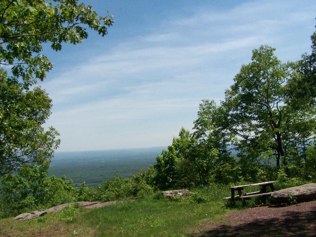
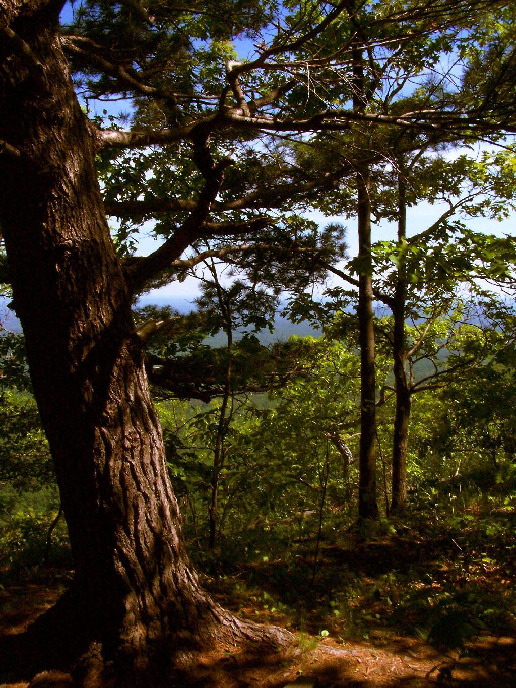
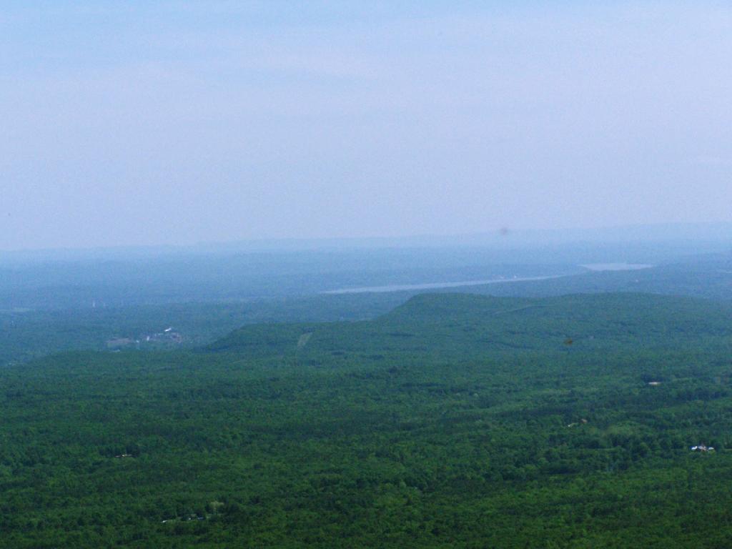
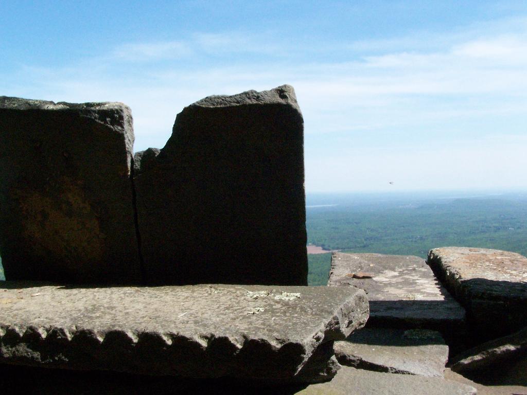
Ashokan High Point is a mountain overlooking West Shokan and the Ashokan Reservoir, however due to trees the views to the east are limited. It is reached from a parking lot off of Ulster County Route 42, a windy low-speed road that lacks guardrail protection.

I visited this after doing Red Hill Fire Tower in another section of the Sundown Wild Forest, some 15 miles to the west (30 miles via road).
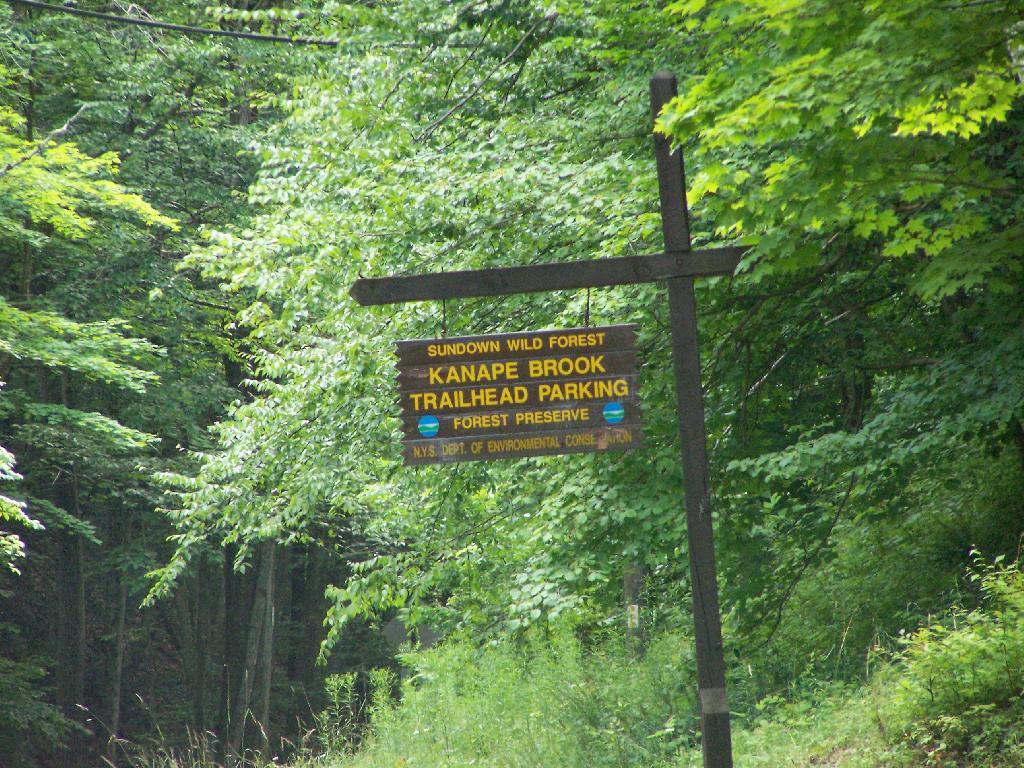
Trailhead Parking Lot Sign

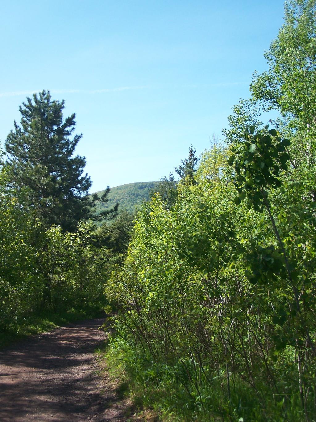
The first two miles up the trail is up an old woods road, that is relatively flat and a pleasurable walk along the Kanape Brook and in a deep clove between Ashokan High Point and Mombaccus Mountain.
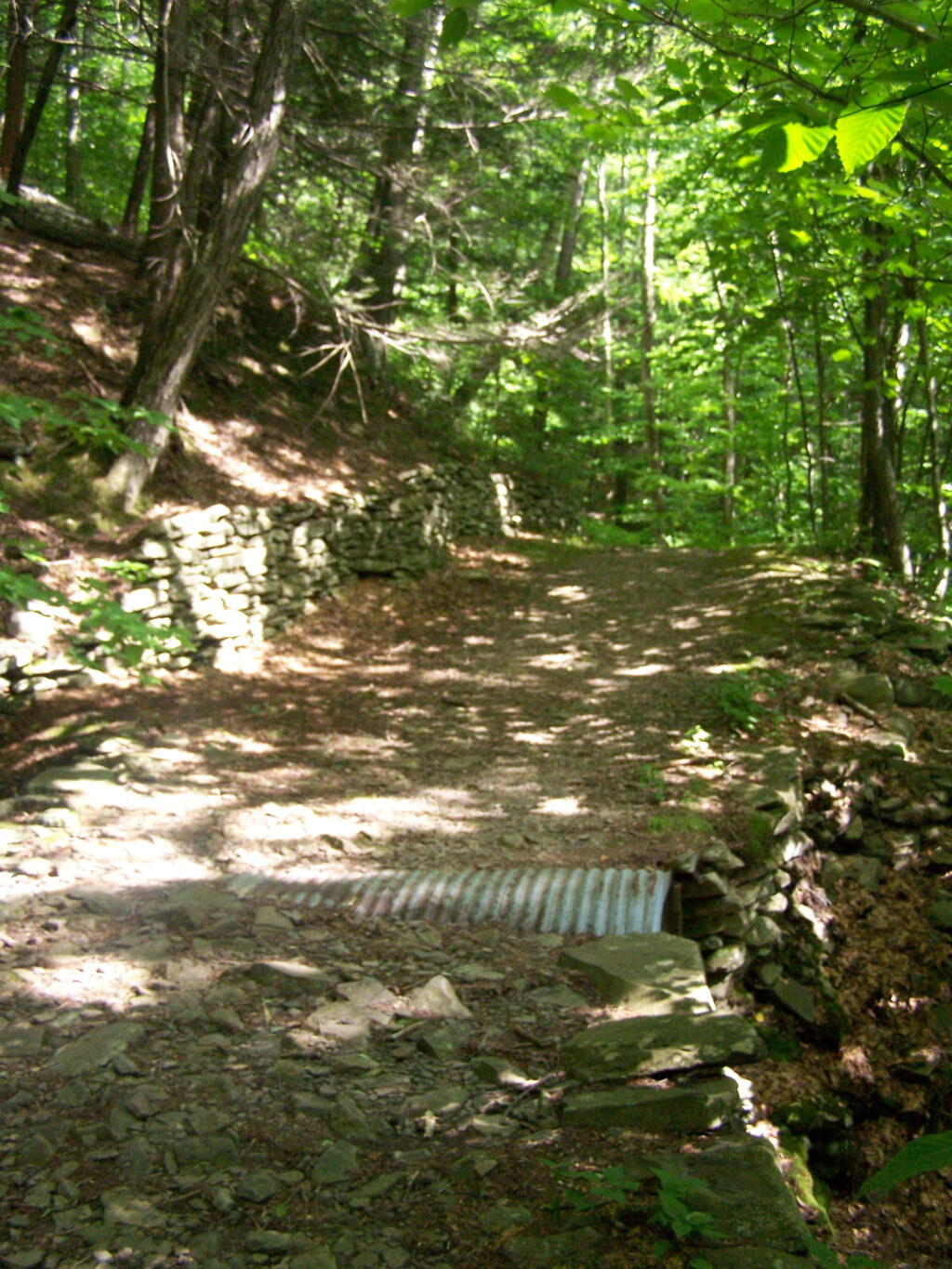
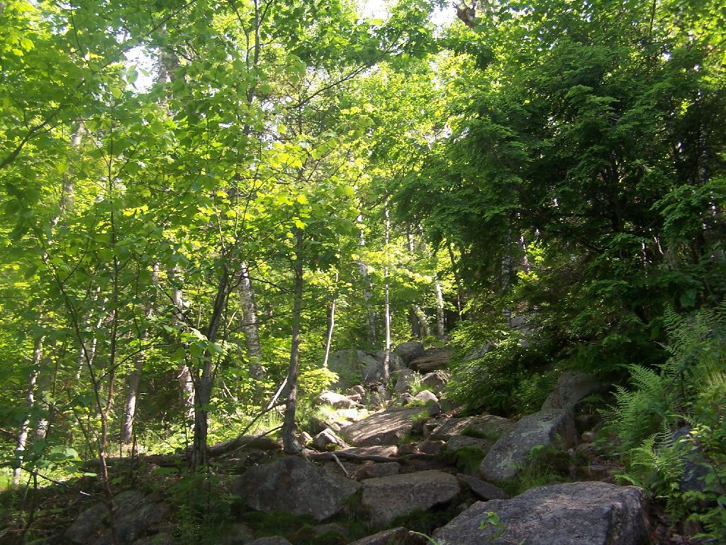
Built Up Fieldstone Trails

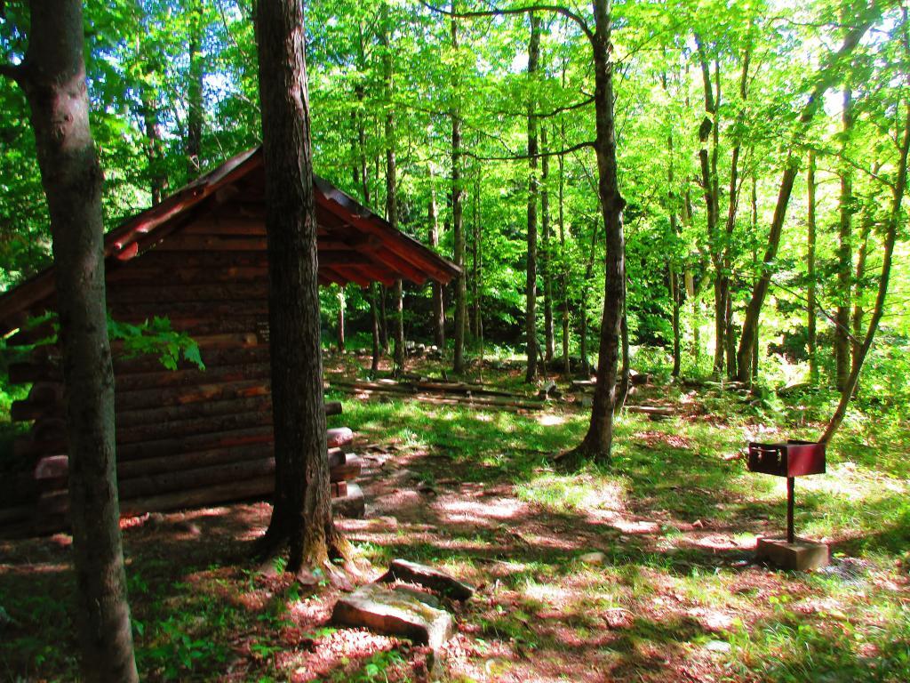
After you walk about a mile or maybe 45 minutes, you arrive at this nice little campsite right near the brook and the trail. It’s in a field, but has limited light for big portions of the day because the clove is so deep.
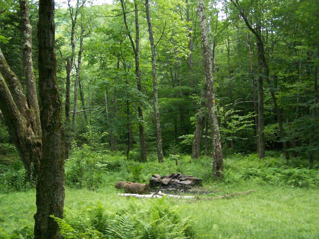
Campsite By Creek

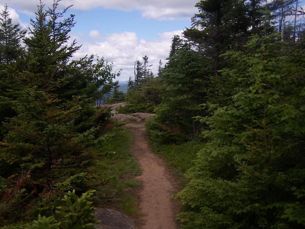
The trail seems a bit long at times, but this is the kind of delightful walking you experience. Markers are sparse along this section of trail, but if your following the old woods road it’s easier to follow.
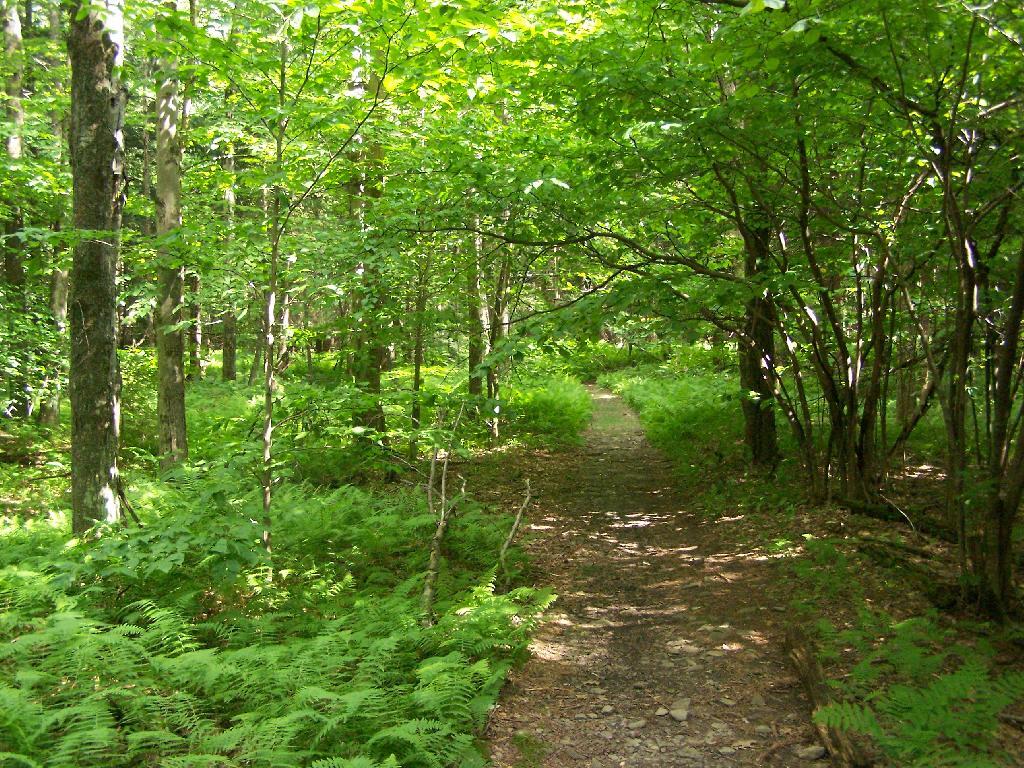
Nice Easy Walking

You then reach the sharp turn off the old woods road, to where the trail splits to the upper loop. As you can see, the turn is well marked.From here on out, you gain about 1,000 feet over the next one mile. It’s quite a bit steeper, but nothing is hands and knees hiking.
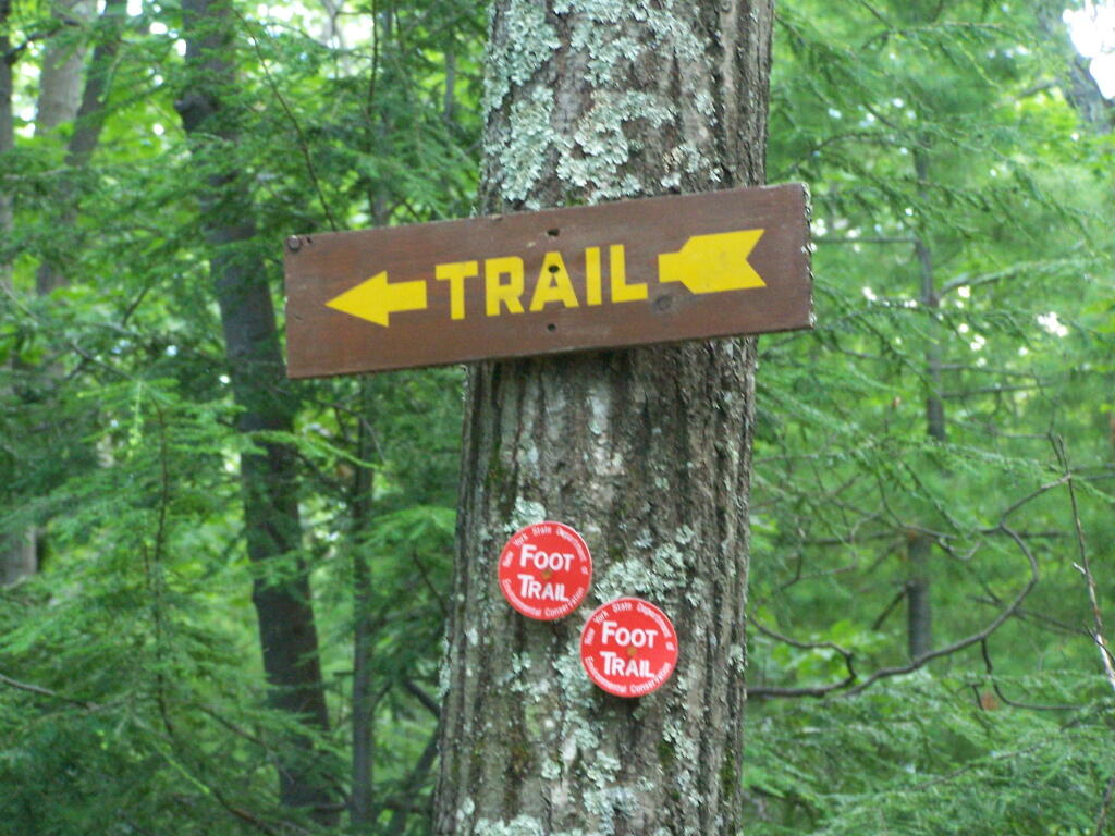
Don't Miss This Turn

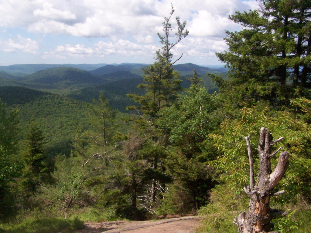
As you start to do some serious climbing, you get partial views to the west.
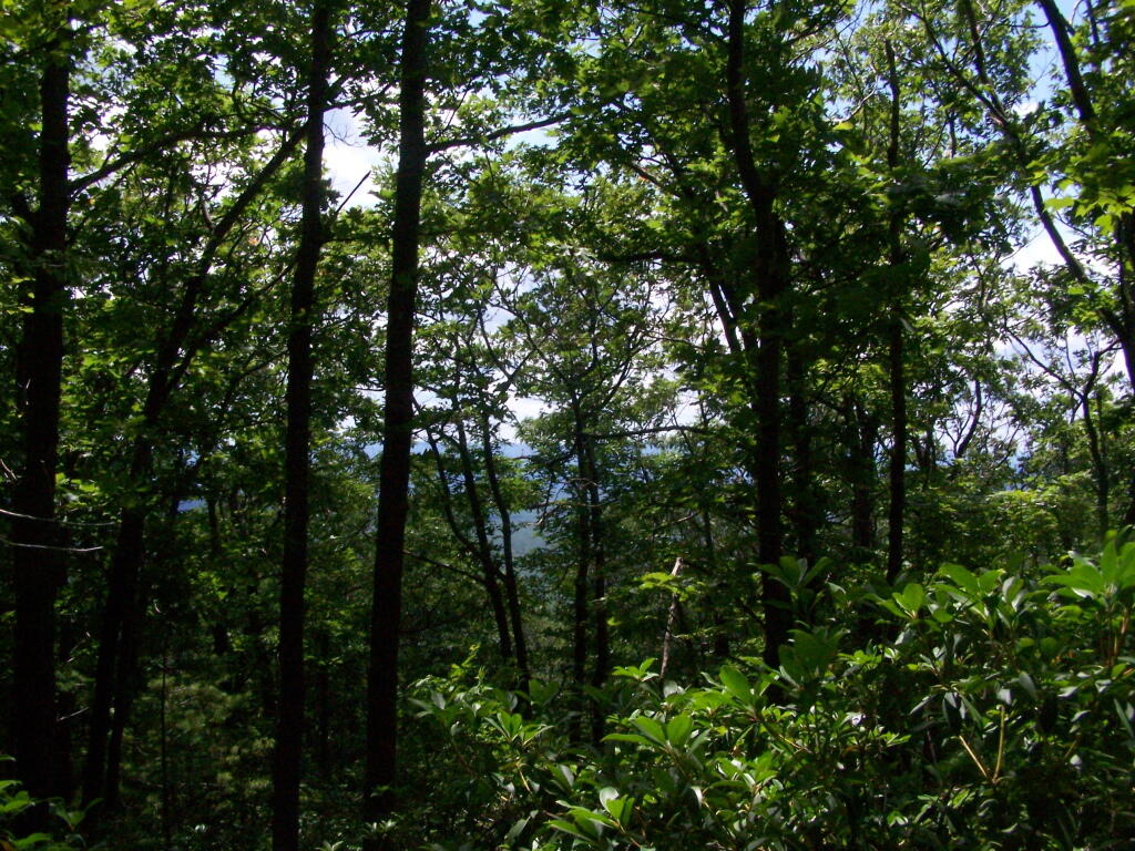
Slight Views

And the trail gets steeper for the next 1/2 mile. They have put in several rock steps to make the climb a little bit easier. Nothing that couldn’t be made by a child or a pet though, and no scary views/ladders.
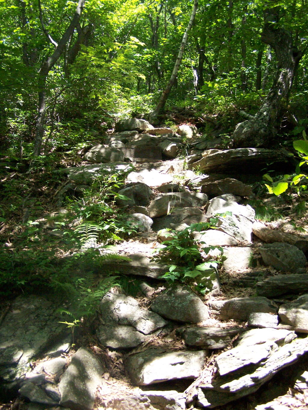
Steep Part of the Trail

Once you are within a 1/4th mile to the top, you stop doing much climbing. If your caught in a storm, this rock offers some protection.
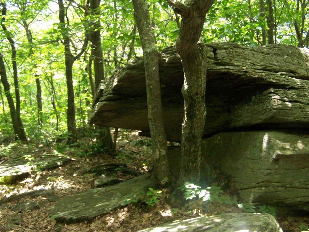
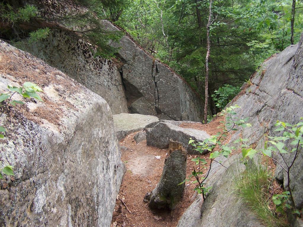
Neat Little Cave

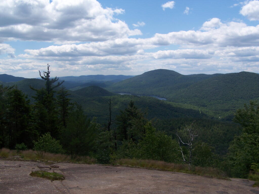
You’ve basically reached the top when you get this nice westerly view of Moccabus Mountain through the trees. You can stop over here, or continue to the top for better southernly views.
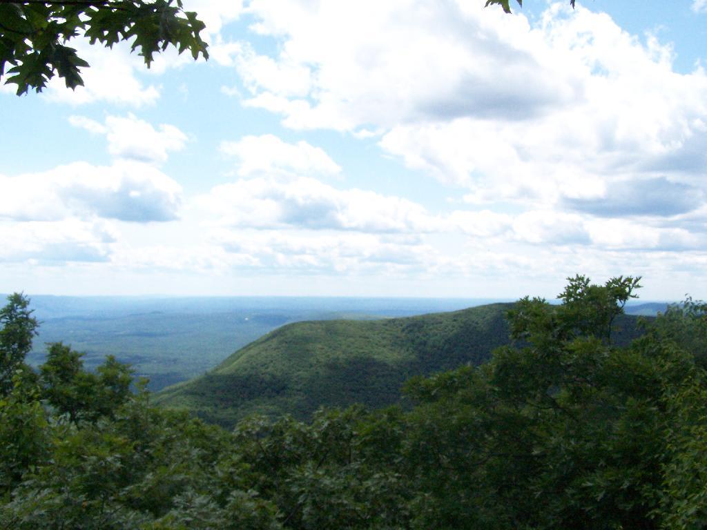
First Views

From the top, you have limited views looking south towards the Shawangunks, surrounded by trees. There supposedly is an unmarked trail you can take down to the “ledge” for 180 views. Without a good map, I decided not to proceed down to the ledge.
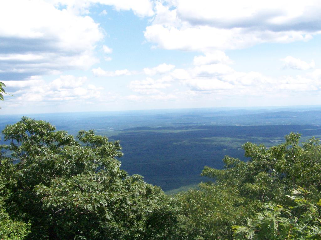
South of Ashokan High Point

The Shawangunks, shrowed in haze. They are small compared to the Catskills but an interesting profile in the sky.
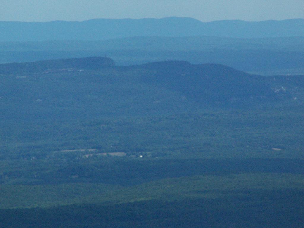
Shawangunks

Along the top there is a trail that runs through a 1/2 mile of Blueberry fields. I was foruntate to be there when they where in season.
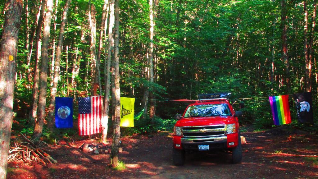
Saturday Evening Up at Camp

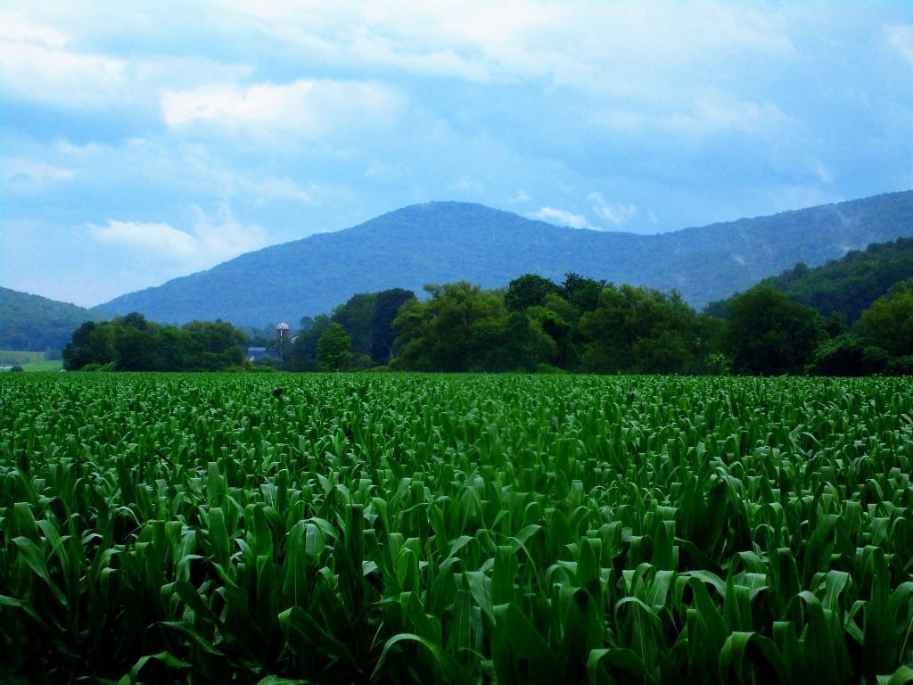
Clearing outside of South Kortwright

On the other side of the mountain, there is an informal campsite with fantastic views of the High Peaks Region of the Catskills.
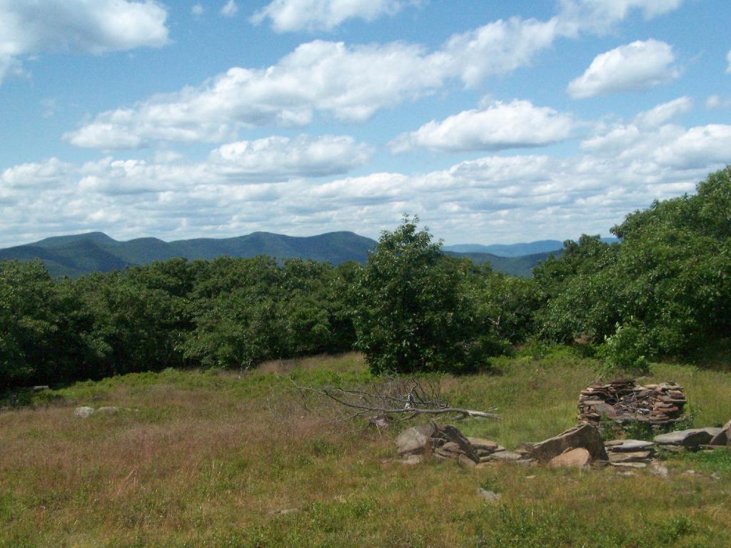
Campsite with Views

The trail down the backside of the mountain is without views, and is less steep but much longer, and winds up and down a few ridges. Nothing really worth visiting — go back the way you came.
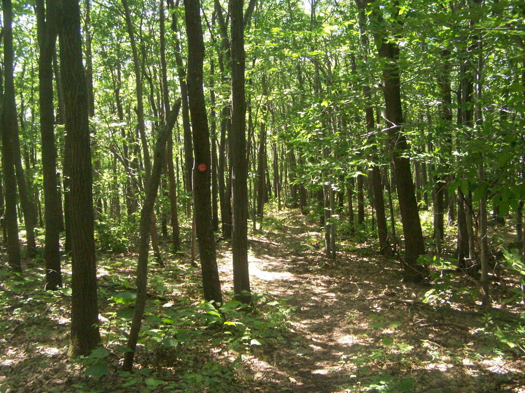
Trail Down Backside of Mountain

You return back to where the loop splits, and return back the trail you took up. It’s a 7.5 mile hike total, but a relatively easy one that you can do in a few hours in an afternoon, and not be totally exhausted.


View Hikes of 2009 in a larger map
Thematic Map: State Forests Over 4,000 Acres
Map: Town of Amherst, NY School Districts and Schools

Crane Mountain

I went hiking at Crane Mountain in the Adirondacks on July 5, on a partly cloudy day. I didn’t get to the trail until around 10 AM, in part because of the Detour on the Adirondack Northway due to the bus crash. Regardless, it still wasn’t that crowded until later in the afternoon.

 Outside Edmenston

The drive up Ski Hi Road is quite rough, and minimally marked, except for a few signs that Crane Mountain. Ski Hi road may be inaccessible with a 2-wheel drive after some rain, so be aware. It’s a steep uphill drive, and very much so dirt. Only once it enters the preserve does it get rutted and rough, but very much passable by people who had cars up there.

The first part of the trail is quite steep, but you quickly get views of Granite Mountain and other mountains that surround the valley near Crane Mountain Road and Ski Hi Roads.

A Little Higher

The trail up it quite steep, climbing over rocks for the first 1/2 of a mile. There isn’t a clear marked trail, you follow one of many routes through the rocks.

Up And Over Big Rocks

The trail is minimally marked, with a few old trail markers and arrows to help you follow. That said, it’s worn enough, and with enough bare rock faces, that it’s quite followable, even without too many markers.

Quiet Place at the Lean-To

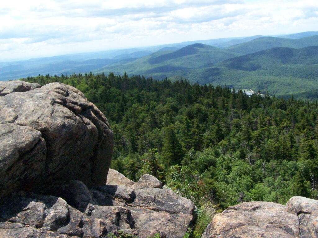
The farther you get up, the better the views get.

Amazing

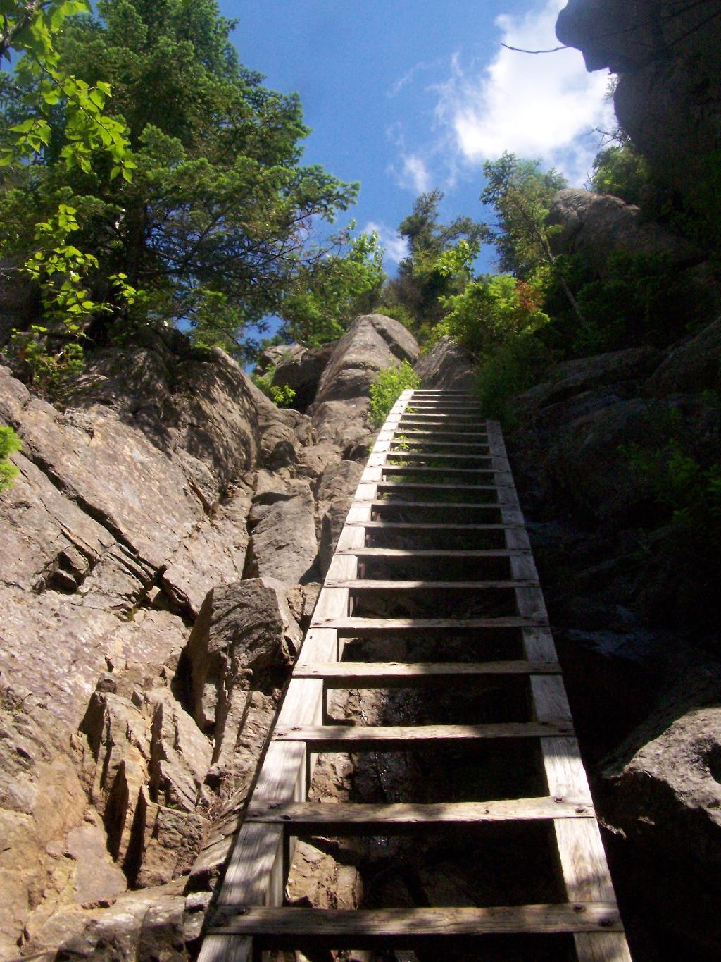
The trail splits between one trail to the pond and one to the Escarpment/Summit. The trail to the Escarpment is relatively flat, with a few up hill sections until you get to a 30′ ladder to get up to the top.

Second Ladder

But once you get there up that ladder, the views quickly become quite amazing. The ladder may be 30 feet high, but it’s securely attached to the mountain, so it’s an easy climb. Also, the trees block the view outwards, so it’s not a bad climb.

Last Climb to the Top

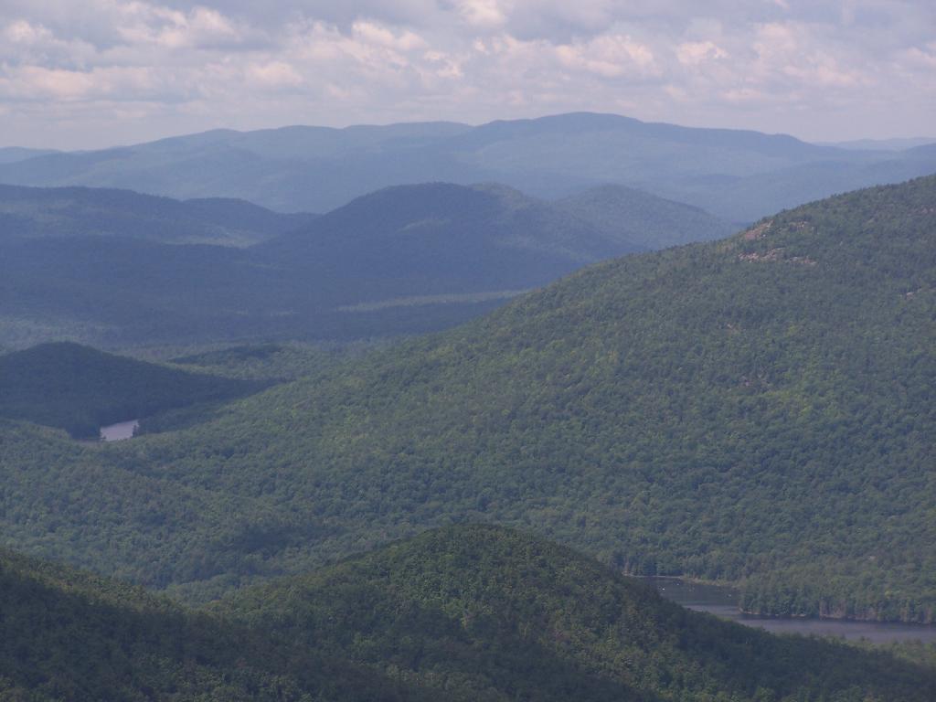
Now I’m looking due to west to Granite Lake.

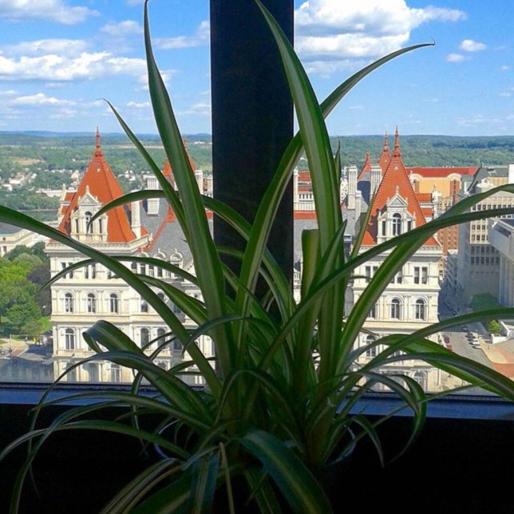
Spider plant keeps growing

Looking North West, along the trail as it proceeds North along the Escarpment. I turned on the Mp3 player, and was listening to America’s Horse with No Name. Good music for the amazing views.

Frame 933

Continuing donw the trail. I must have spent an hour snapping photos, reading, and just enjoying the landscape.

Further Down the Trail

Next the trail proceeds down steeply towards Crane Mountain Lake, with one viewpoint with good northerly views, including an overview of the popular fishing spot of Crane Mountain Lake. At least on this side there is no ladder to climb on down.

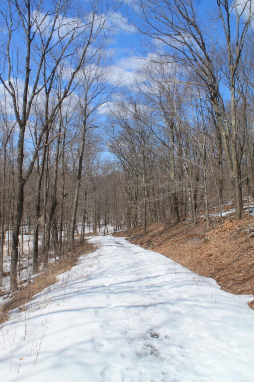
Snow Covered Old Wood Road

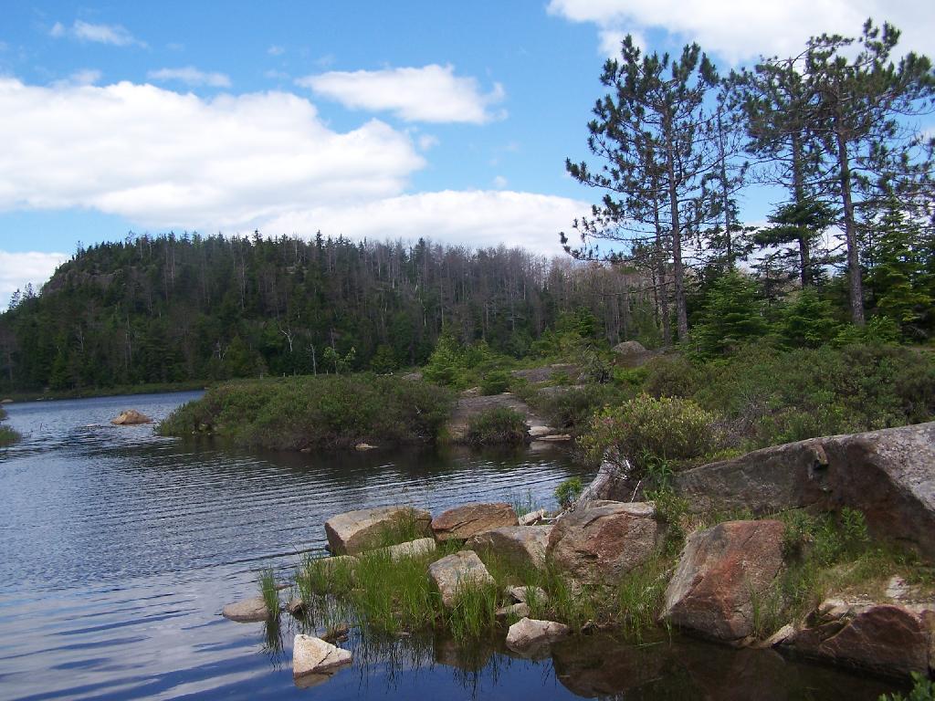
Down at Crane Mountain Lake. I sat down here, and spent some time reading. A few people where around fishing and exploring, more people where heading up the trail with polls later on.

Rocks at Lake

The trail, while unmarked splits between going along the top of the ridge between the second and first latter up Crane Mountain, not that you would know it from the lack of signs. There is a lot of exposed rockface on this relatively steep trail, due to aggressive logging a century ago destroying the soil cover, along with steep slopes.

Make A Choice

The trail descends quite steeply through rocks, and then further down. It’s a quite steep descent to say the least.

Trail Descends Between Rocks

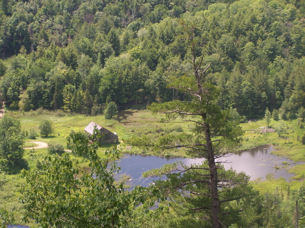
A rather pretty house from a converted barn on Crane Mountain Road, which is viewable from the descending trail.

House By the Pond

The last mile of the trail is along an old woods road.

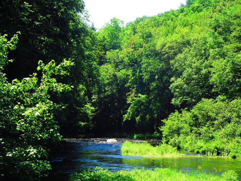
Stoney Creek

The route I took.


View Hikes of 2009 in a larger map
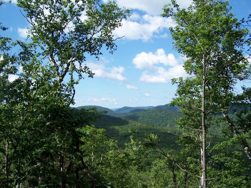
Some sites on Crane Mountain:

More pictures of Crane Mountain.

Map: Shelving Rock Road and Dacy Clearing Road
Map: Shelving Rock Mountain

Palenville Overlook

On Memorial Day 2009, I decided to go on an afternoon hike to the Palenville Overlook, along the old Catskill Mountain House Road, which was used for horse and buggies during the era of that great mountain house prior to the installation of the inclined railroad and later automobile.

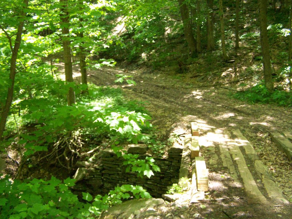
Bridge By Halfway House

The first part of the trail is a moderately steep old wagon road that climbs about 1,000 feet to the site of the Halfway House / Rip Van Winkle Hollow. If it wasn’t gated closed, it would be passable by an automobile. When you reach the ruins of the Halfway House, there are horse tie-downs and ruins of the old tavern known as the Half Way House. It’s where passengers could get a good strong drink and so could horses, as they made their way up to the Mountain House.

Little Pine Orchard Pinic Area

After this nice place for resting, the trail climbs a bit more and becomes a lot less steep. You pass by a private hunting cabin, and finally into the forest preserve. You arrive at a pinic area with nice views of the valley, a picnic table, horse tie-downs, and a fireplace full of trash.

Tree

From there the trail gently goes up, with two big switchbacks. The trail to the Palenville Overlook switch-backs down about 100 feet off the old Catskill Mountain House Road, and then winds on a narrow trail about another mile to the Palenville Overlook.

Mount Airy

You then cross the ruins of the old inclined Otis Railroad tracks, in which all that remains are foundations. According to “AMC’s Best Day Hikes in the Catskills”, the rails and other scrap metal was sold to the War Department during World War I. By then the automobile had made this mode of obsolete as the old horse trail up the valley. All that remains is the cut on mountain, where a high-tension power wire runs.

Old Railroad Grade

You eventually reach the Palenville Overlook. The views are amazing, although it was fairly hazy the day I went there. There are awesome stone-built chairs out of old Palenville Mountain House ruins, that provide a great place to sit with a book, as you enjoy views of the Hudson Valley looking south-east. There is another view along the escarpment of the valley somewhat to the north, that gives more due-east views.

Untitled [Expires August 4 2024]

Seat with a View

From there, I hiked back to the old Catskill Mountain House road, and up to the site of the old Catskill Mountain House ruins. I took some pictures, and then started down the mountain, when I realized I had left my hat up the Catskill Mountain House site. So I ended up backtracking, and ended up missing Memorial Day dinner at my parents house. But so be it.

Nice Day Out


View Andy Arthur – Hikes 2009 in a larger map

SVGZ Graphic: Central NY Population Density
SVGZ Graphic: Mohawk Valley Population Density

Plateau Mountain

Plateau Mountain, directly east of Hunter Mountain is one of the Catskill 3500 ft Mountains, but rarely gets much attention. It has a good trail up it, a bit a fairly steep one, that has wonderful southerly views, out towards Edgewood and many Catskill Peaks. It climbs about 1,900 feet in 1.8 miles — a good 20% grade, including several relatively flat places.

Once you reach the top, there is one section where you have to climb up hands and knees up two 4′ steps. Beyond that the trail is essentially flat for the next two miles. There some decent views over Tannersville and of the TriMount region of the Catskills. From there for the next mile and a half there are no views, as the trail wanders around properly lines until it reaches the easterly descent into Mink Hollow.

Not a lot to see once on top of the mountain, long and sprawling with dense forests. Regardless the various views are nice off this mountain, and it’s frequently overlooked as a mountain to hike in the Catskills.

It was a nice hike with some truly beautiful weather. The only mistake I made is I did not bring enough water. I was through 2 liters of water before I knew it. Still I conserved water and made it down safely by about 2 PM (I started up the mountain at 7:45 AM).

Be sure to see the Central Catskills Photos, where many are from Plateau Mountain.

Hikers – Devils Tombstone Parking Area
Green Line – Plateau Mountain Trail
Balloons – Various views from Plateau Mountain


View Plateau Mountain Trail in a larger map