hiking

Mount Utsayantha

Mount Utsayantha is a village park, high above Stamford, NY. It is accessable either by driving or hiking up a steep one-lane truck trail. I decided to drive up, mainly because I was interested in the view more then the hike up (which would be delightful too).
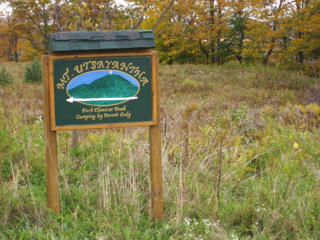
Sign for Mountain

Here is looking off the firetower at the former gift-shop/observation building that was badly vandalized and is in process of being restored.
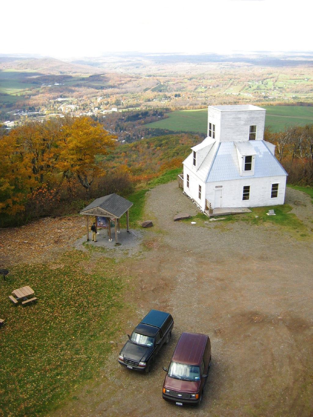
Observation Tower

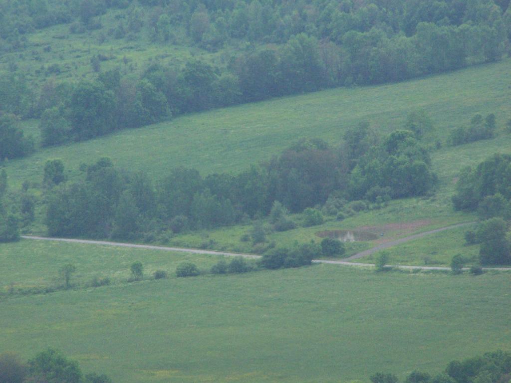
Driving up the truck trail to the park, when you almost reach the top, there is a location where you can pull off, and looking for a wonderful northernly view, with farmlands in the foreground, and Emmenence State Forest in the distance.
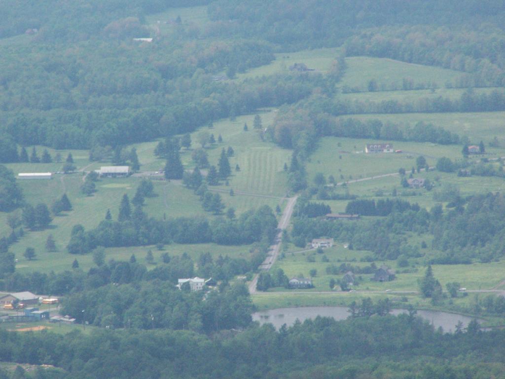
North West of Stamford

The views from atop of the fire tower are nothing short of amazing. This is from inside the tower, looking out the windows.
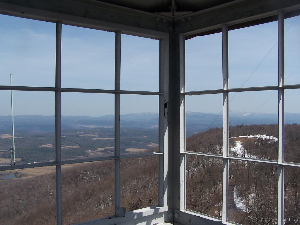
Tower Windows

Here is Stamford, NY, looking off the mountain early on October 12th. They say on a clear day, in the distance you can see out towards Oneonta, or at least Hartwick College high up on the hill.
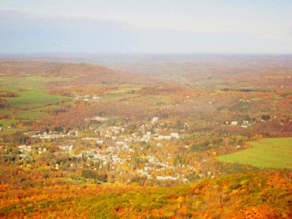
Morning in Stamford

This is one of the amazing views looking out of the windows from the cabin of the fire tower.
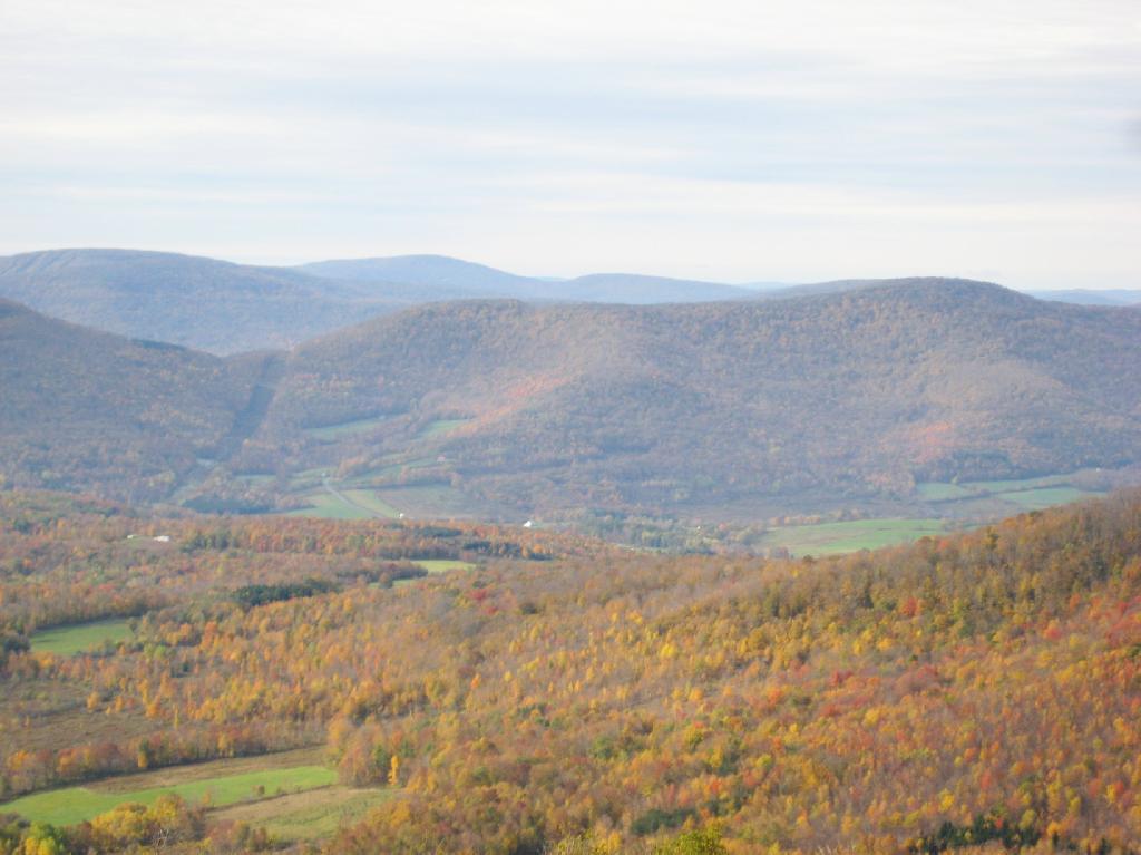
Untitled

Here is Churchhill Mountain in the foreground, with Lyon Mountain and Cowan Mountains in the background.
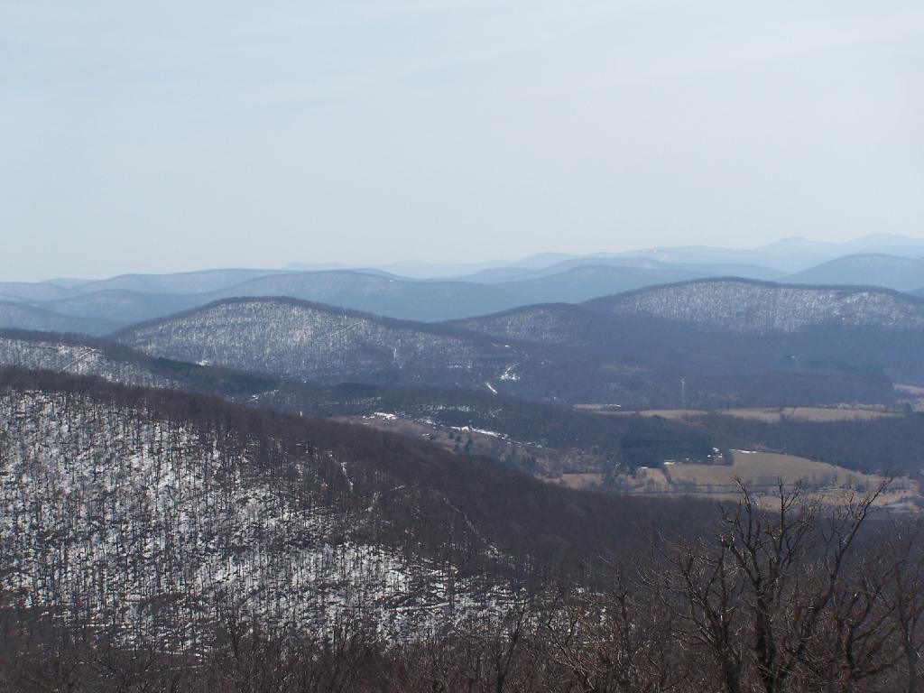
Western Catskills

There are several radio towers on Utsayantha Mountain, which sometimes get in the way of pictures, but it’s still amazing what you see from the tower. In the background you see the area around Grand Gorge, and Irish and Pine Mountains inside of the park.
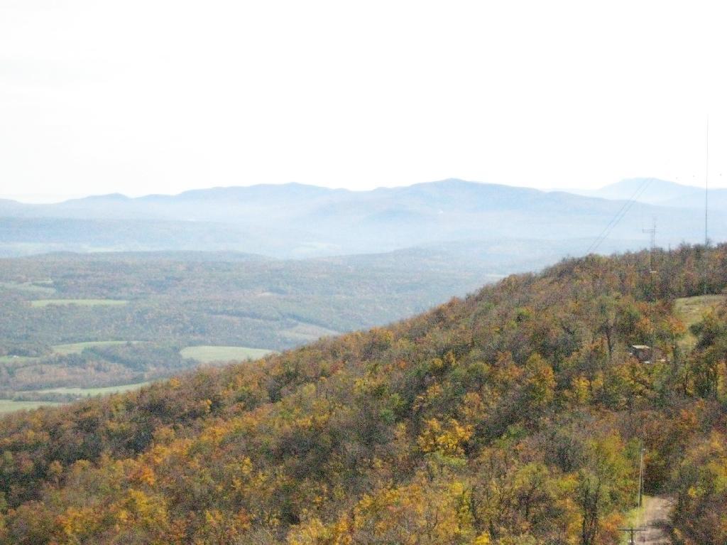
Untitled

Here is the largely forested area north of Stamford, around places like Summit.
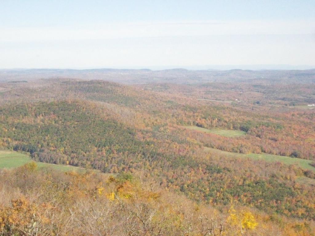
Curvature of the VZ Bridge

These are the many peaks around Roxbury, looking into the western Catskill Park.
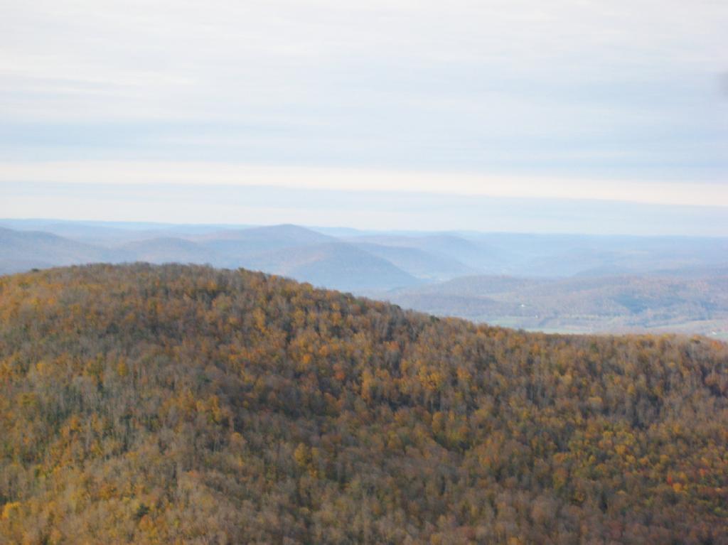
Untitled

The Mount Utsayantha Fire Tower.

Tower Mountain Road

If you ever heading over NY 23, heading back from Oneonta to Albany, or otherwise can take a detour from NY 30 in the area of Grand George, it’s well worth to take a drive up to Stamford, and then up to the fire tower.

The truck trail up to Mount Utsayantha is unmaintained in the winter. Once ice sets in on the trail, you’ll be pretty much limited to going up it with snowshoes or x-country skis (if your careful — it’s steep). It’s probably very cold and windswept in the winter, but the views are probably still amazing.

Here is a map. To get there, take NY 23 East from Stamford to Tower Mountain Road on the outskirts of town, then drive Tower Mountain Road for about 2 miles, until you reach the top of a ridge. You can park from here, and either hike/snowshoe “Utsayantha Mountain” the dirt road a mile to the top or drive up it in nice weather.

The Mount Utsayantha Project by the Village of Stamford and the Catskill Center for Conservation and Development has more information this mountain with amazing views.

Map: White Rocks
Map: Empire State Topography

Autumn at Vromans Nose

After visiting Mount Usayantha earlier in the afternoon, I drove down to Vromans Nose to climb it, and take in the views on a wonderfully warm fall afternoon.

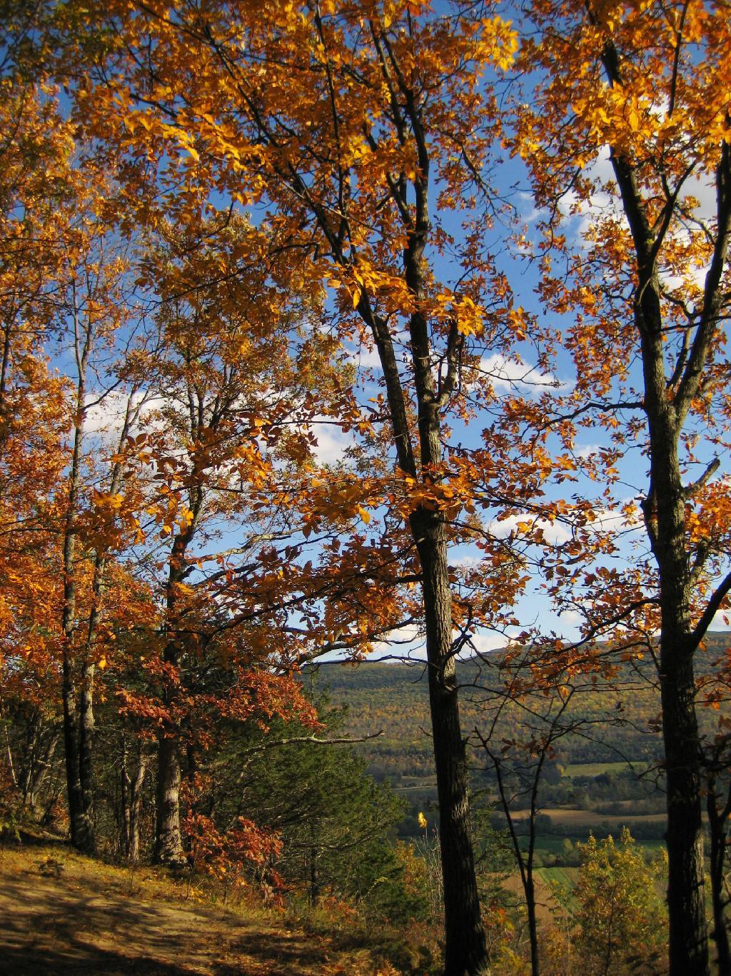
Maples Climb the Hill

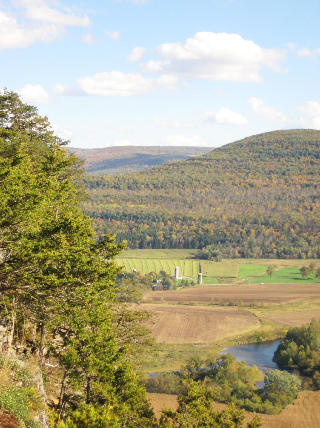
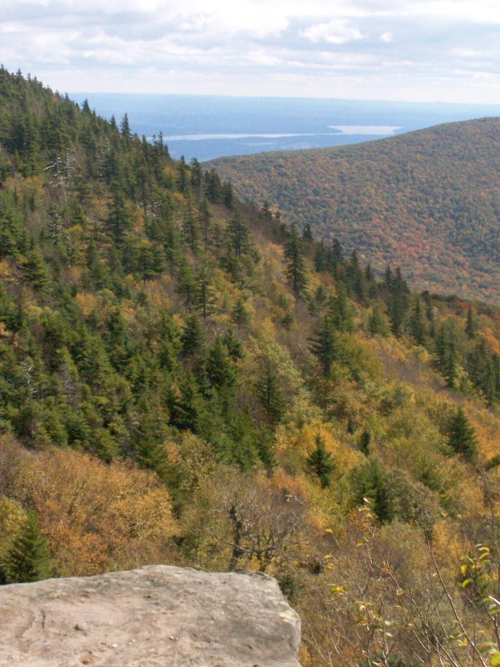
The colors along the hills gracing Vromans Nose where somewhat faded and past peak, but they still where quite amazing.

Along the Edge

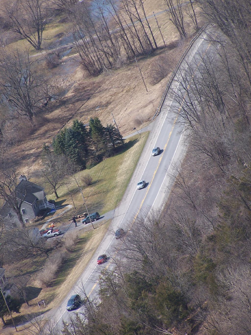
As I looked down along NY 30 and the Octagon House.

NY 30

Then proceeded down the cliff.

Untitled [Expires May 26 2026]

A map of Vromans Nose. I drew these trails up from memory, they should be rough estimates of location of trails and not exactly GPS tracks.

Fire

Acrophobia

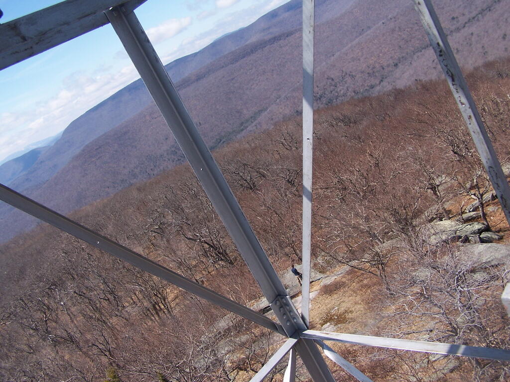
I have a fear of heights. The more time I spend climbing up the side of mountains, hiking up fire towers, and working in a high rise buildings, the fear diminishes, but still is very much a real fear.

Thru Tower

When I was young, I used to be afraid of escalators, and even walking out by a window of a high rise building. None of those things evoke much fear any more. After climbing mountains, I quickly hike up fire towers — even at night, with little fear. I like to look down, and look at the scenery around.

 South

Yet, I still have a fear of heights, particularly of slipping and falling on the edge of a mountain trail or down a rock face. While this fear is rational, to a degree, it does bother me at times, and keep me from getting pictures or enjoying certain sections of a hike as much as I should be.

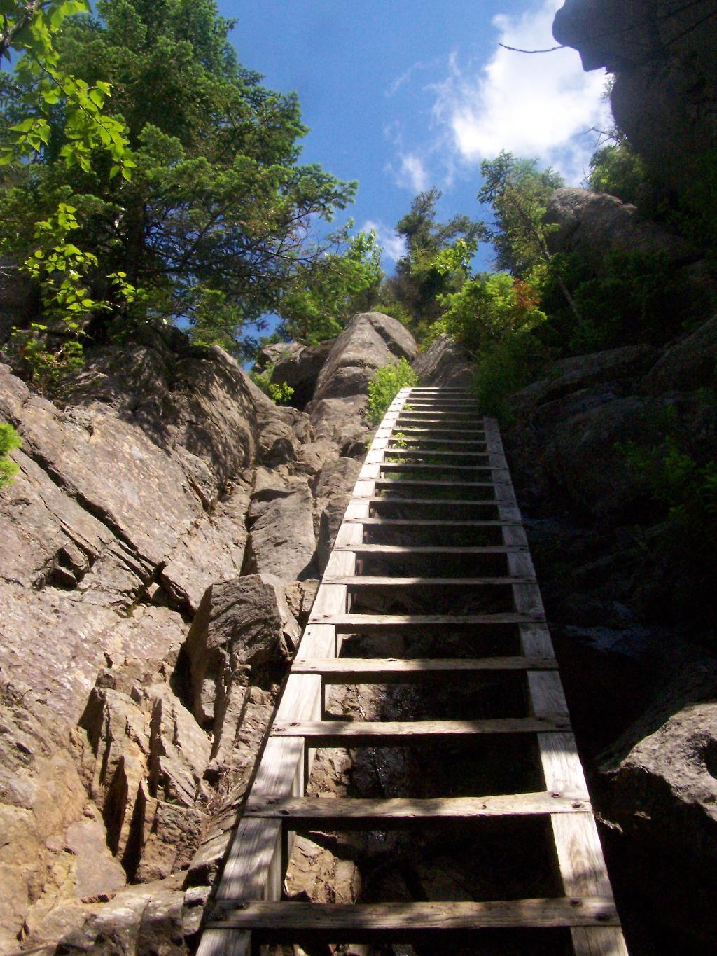
Second Ladder

I guess it’s rational to realize that when a trail follows a potentially deadly 50 feet drop off one foot away, to be a little bit scared. I just wish I felt less concerned about looking off the trail and enjoying the vast scenery that can be seen rather then keeping an eye on the trail.

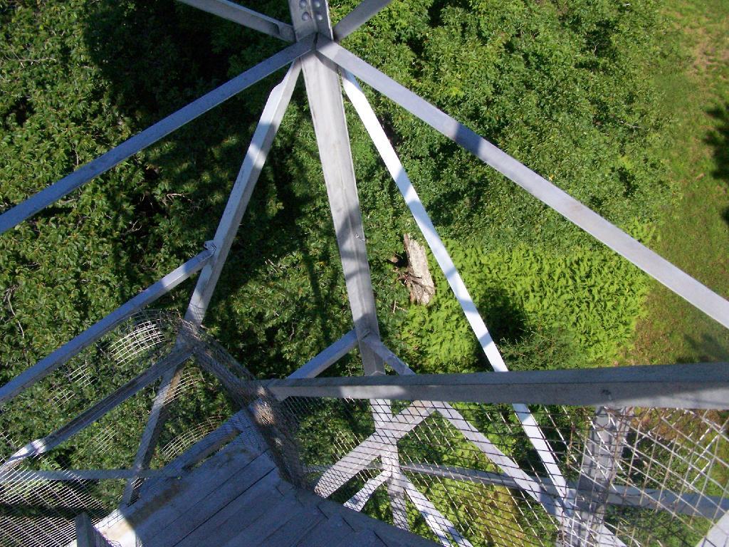
Looking Down

You can notice the general lack of photographs I have trails that run along the edge of mountains. It’s because I’m just too darn scared to take out the camera.

Joesph Davis State Park

Joesph Davis State Park was one of the series of parks built in Niagara County during the 1950s when the county under went major changes, as the Fort Niagara Military base was turned over to state hands and then turned into the Robert Moses Parkway, and a series of parks. On weekends in the summer, there is a fee to park a car in the picnic area, and hunting is allowed in season.

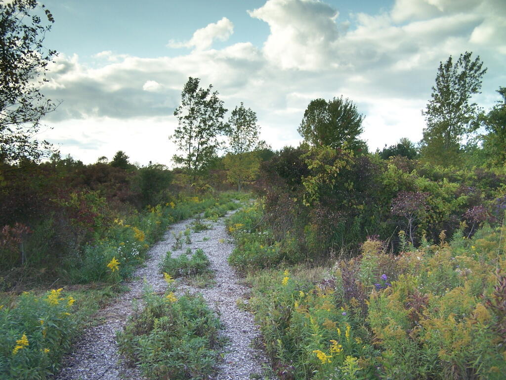
Path

Sadly, most of this area was not well maintained or even well developed. The land is flat, but it is still interesting with a series of small ponds and trails that wind through it.

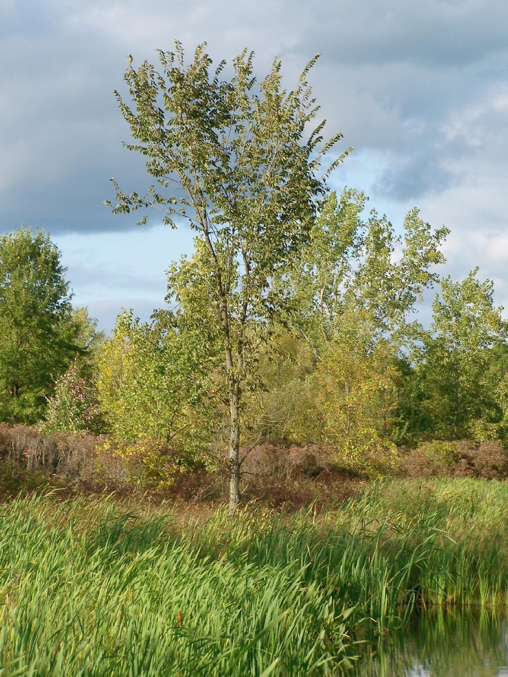
Tree

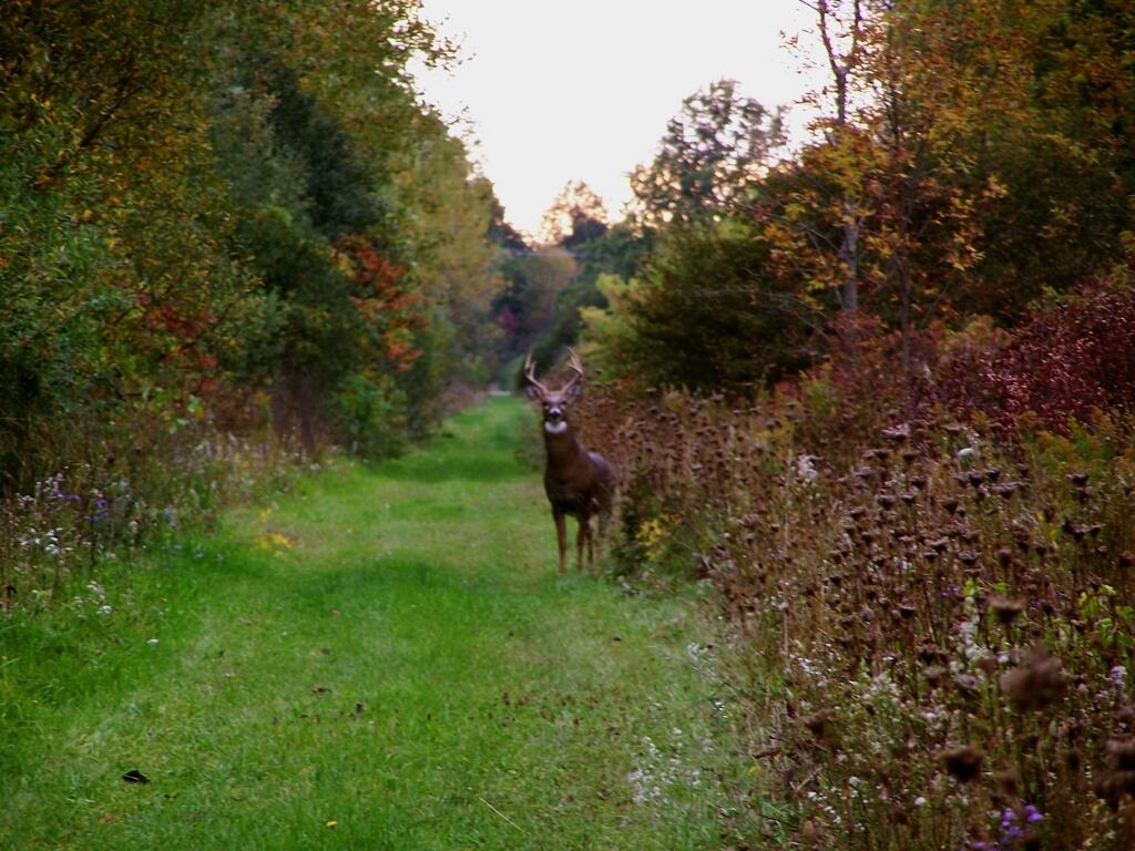
There was all kinds of wildlife through out the area, including this nice looking buck.

Buck

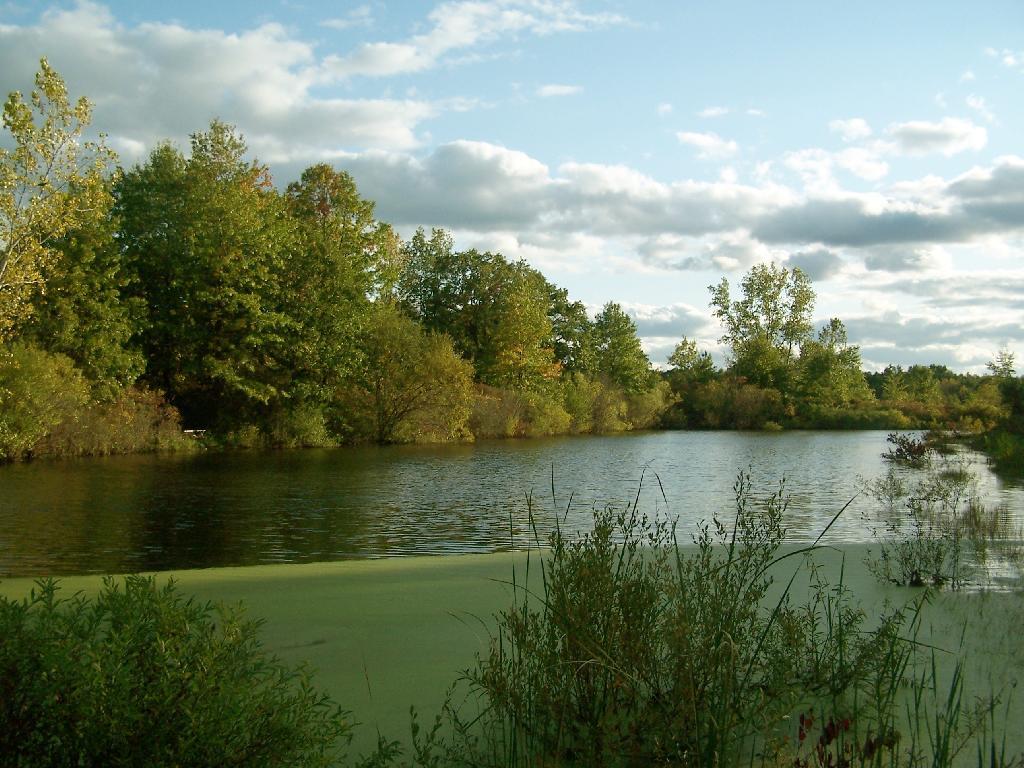
This pond was pretty.

Pond

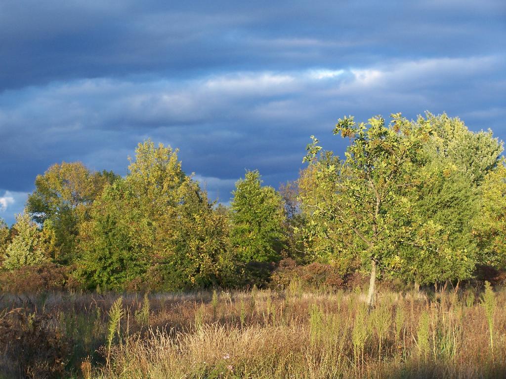
As the evening approached, the sky darkened over the east, but sunrays lit up the foreground.

Dark Sky

Here is a map of the hike.


View Hikes of 2009 in a larger map

Growing Up in the Shadow of Mountains

There are relatively few people who can say that they grew up in the shadow of the mountains. The mountains loomed large over the town I grew up, showing their large footprint as the rose out of the land just south of the town where I went to Elementary and High School.

Mountains

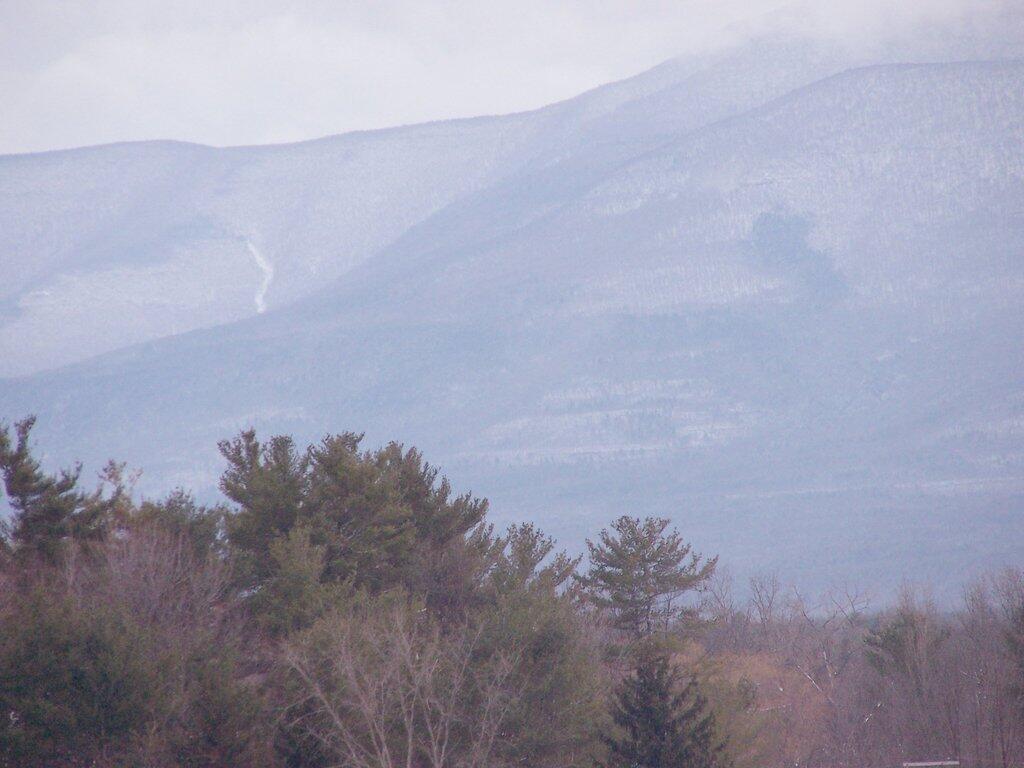
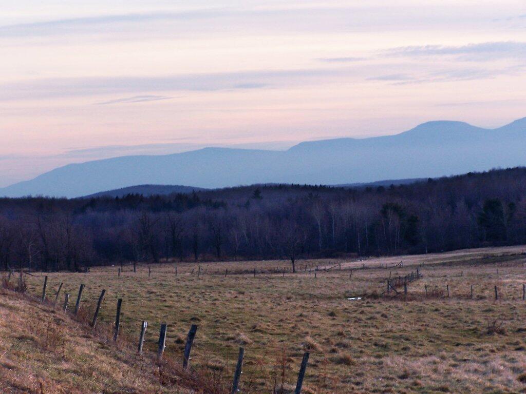
While I lived most of my first 25-years of my life on my parents eight-acres, playing in the woods and in the creek, I went to school in Greenville, which is about 15 miles from the northern-most range of the Catskills. Those mountains loom large over the town as one proceeds south on the two-lane NY Route 32. At times, they look as though they must almost reach up to the sky, as high exists in the world.

They are an impressive feature. A routine feature to anybody who lives out by Greenville and sees them everyday, but still one that leaves a lasting impression on oneself. When I was younger I might have hiked the mountains a few times, but I never spent an extended period up there. I certainly could not have identified every peak from memory or been able to look up and know what it look likes on down. Today I can.

Catskills from Route 2

When I was younger I probably should have asked more questions and respected those mountains more. I should have paid more attention, and spent more time hiking them. Yet I didn’t. Regardless, those mountains, constantly hanging over the Greenville skyline had a persist ant impact on my life.