hiking

Mid-Winter Walk at Partridge Run

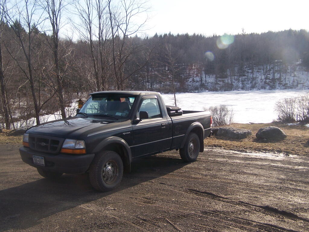
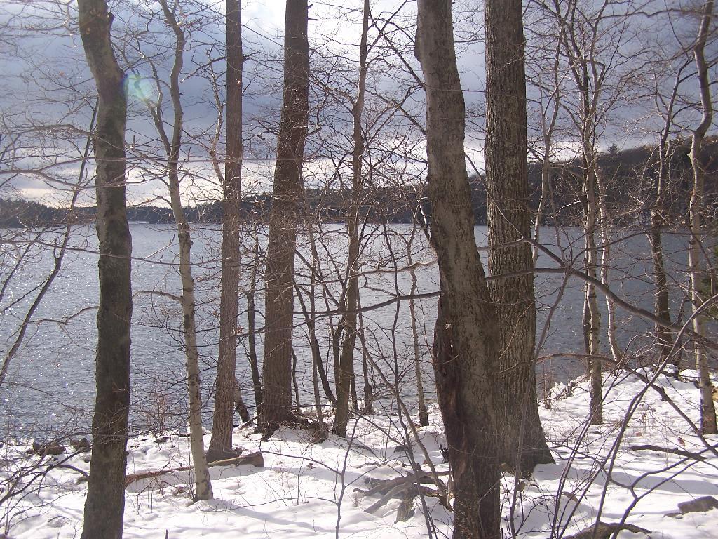
The last weekend of January the snow melted away at Partridge Run and I was able to drive out to Fawn Lake with little problem, except for the road being a little bit soft.

Truck Sunlight

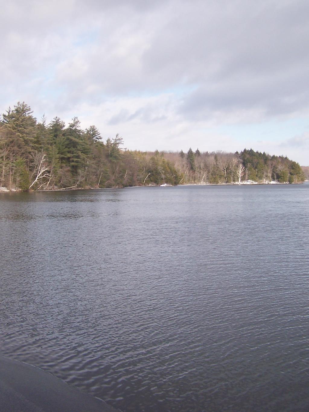
I hiked down to White Birch Pond, where in the shady side of the mountain there was a little bit of snow left.

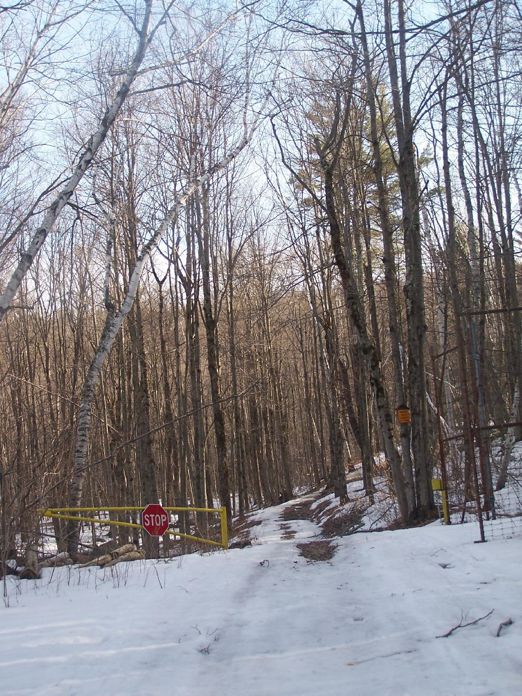
Gate

Walking along the headwaters of the Switzkill Creek at Partridge Run.

Automobiles Manufactured in Mexico

A map of the route.


View Fawn Lake to White Birch Pond in a larger map

Snowshoeing at Thatcher Park/OSI

The Thatcher Park OSI Parcel with High Point and Hang Gliders Cliff have rapidly become one of my favorite local places to visit. It has replaced Partridge Run as a personal favorite, mainly because in addition to interesting woods to explore, it also has the Escarpment to look off.
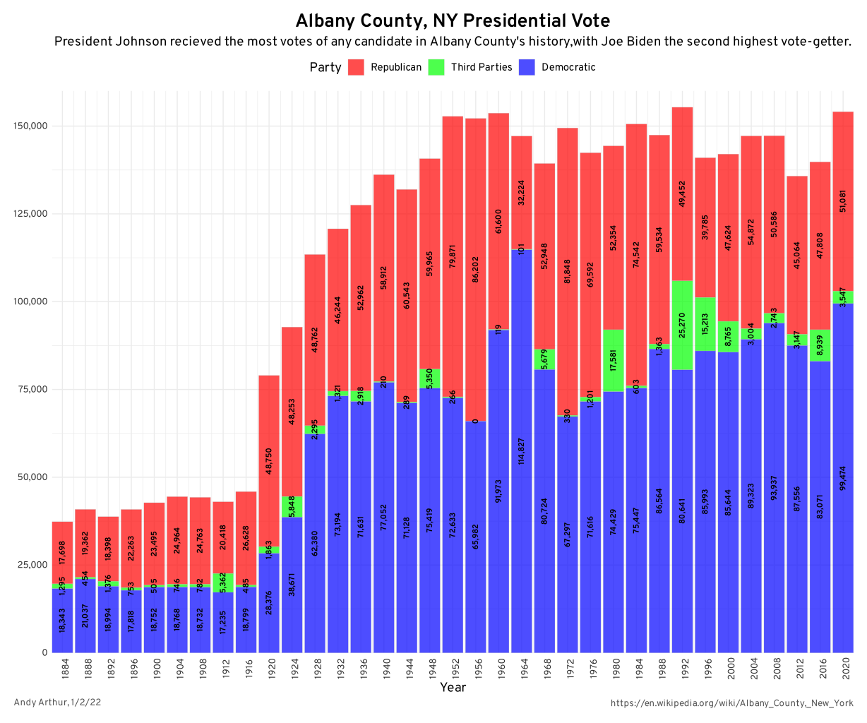
Albany County Presidential Vote, through the Years

The day when I went out hiking I had previously gone to the doctor with a horrible sinus infection. I was feeling pretty sick, but the bright blue skies just beckoned me to go outside and get some fresh air. So I donned my beat up old cowboy hat, took some Zyrtec and my antibiotics, and off I went.
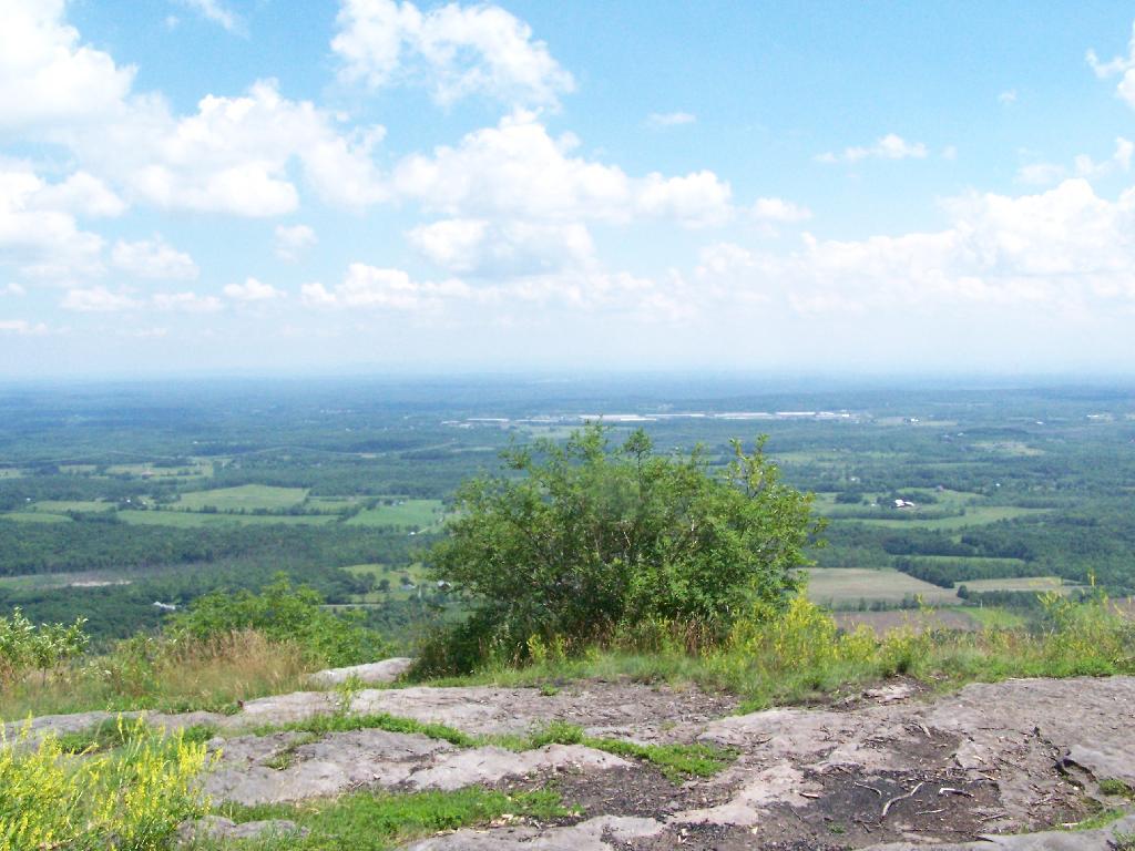
Looking Off High Point

I didn’t plan on snowshoeing too far, so I decided to park up at the old Bluestone Quarry off of Carrick Road. Carrick Road was a sheet of ice, with about 2 inches of packed snow on it. Fortunately the Quarry had an area that was well plowed and it was a perfect place for me to park and not worry about getting my pickup stuck. Even with 4×4, I am so paranoid about such things these days.
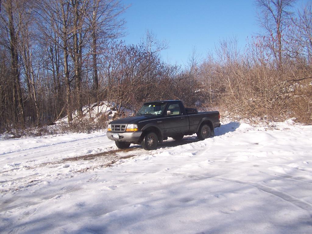
Non-Icy Parking Spot

The bright sun and the blue skies were so delightful. In winter, it seems like gray snowy weather is always the norm, and it’s rare to get a truly nice day for snowshoeing. On this particular day, there was not a cloud in the sky, and it could almost not have been much nicer.
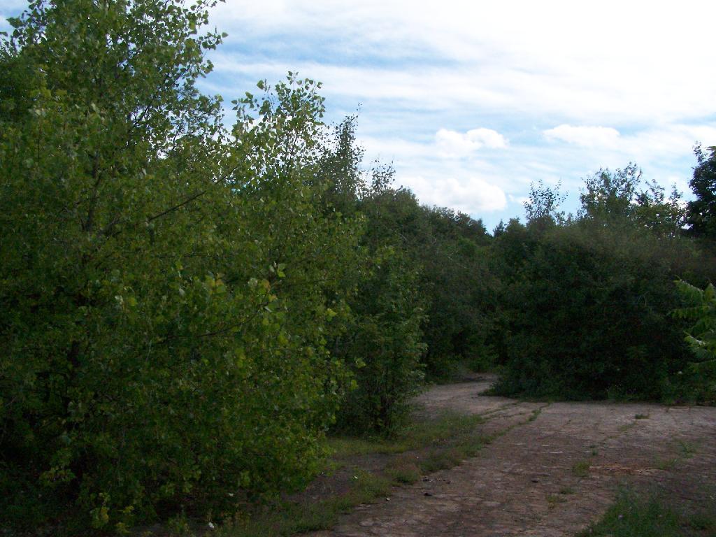
Blue Stone Mine on Carrick Road

Here is the junction of the White Connector Trail and the Red Ski Loop which is multiplexed with the Long Path. This is only a short distance from High Point. The light and the weather was just so amazing on this afternoon.
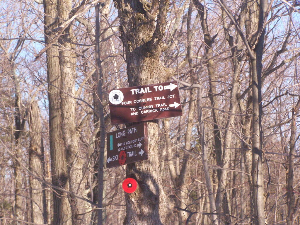
Trail Junction

I hopped off the Red Ski Trail and took an old woods road to High Point. I had never been over this way before, and when I reached High Point from this angle, I almost didn’t even realize it was High Point, looking out through a clearing.
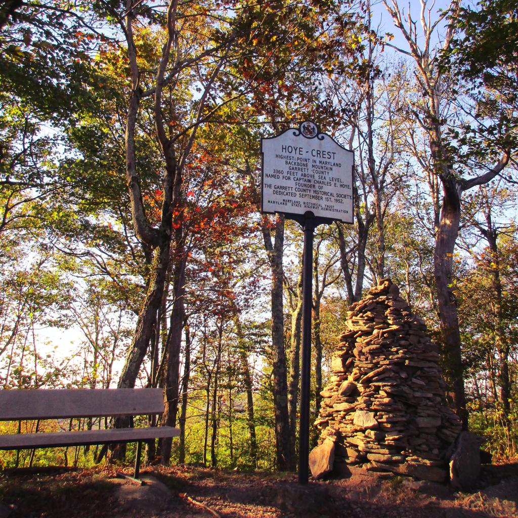
Hoye-Crest, Highest Location in Maryland

While I go up to High Point quite a bit, it is the first time I really noticed this classic looking farm in Guilderland with the barns and the house. Obviously, you can’t tell what kind of livestock they raise from this picture, but it is a very classic old farm house and old barns, probably from back when it was a dairy operation some time ago.
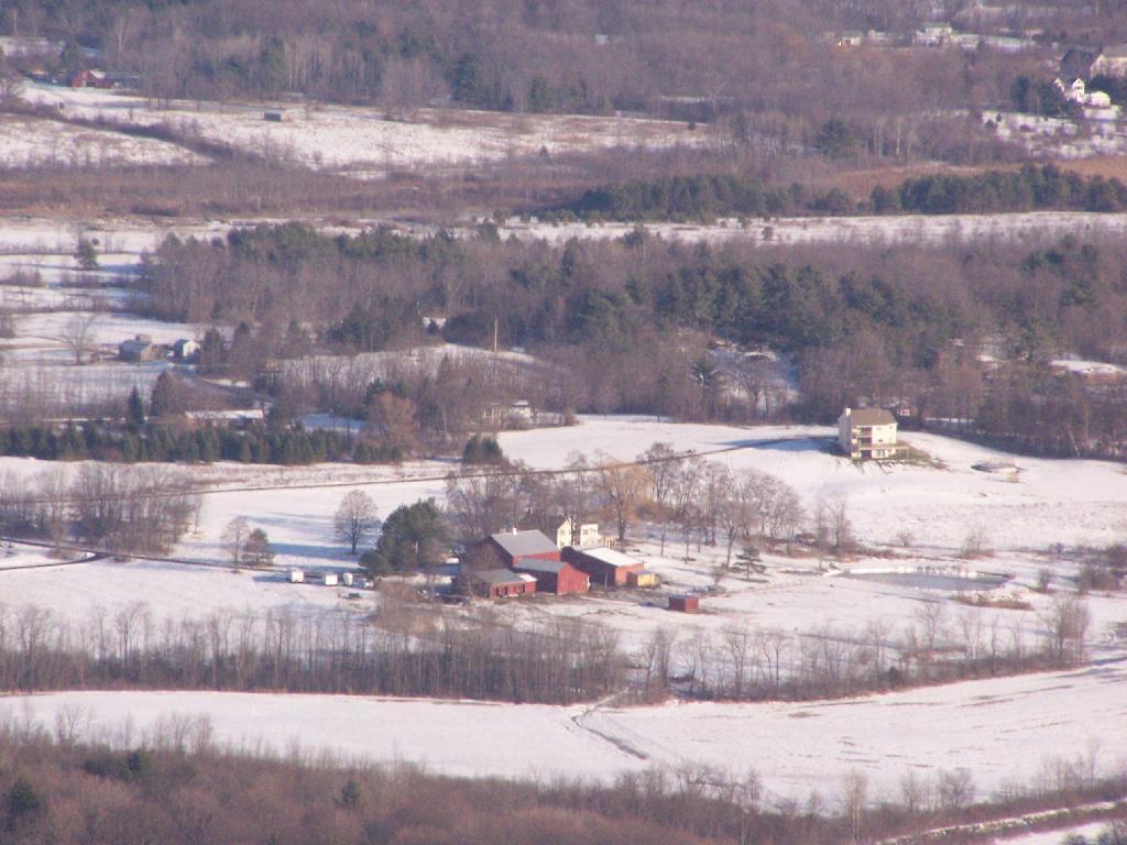
Cute Little Farm

All of the sun and fresh air made me start to feel better so I snowshoed on south to Hang Gliders cliff. While I usually would take the unmarked escarpment trail all the way on over in the summer, I took for the first part the Long Path and cut over to the unmarked trail, to avoid the section that runs right along the edge. Here we are looking off Hang Gliders cliff, down into the valley.
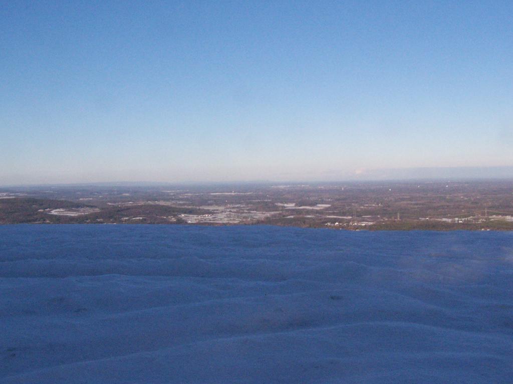
 Hang Gliders Cliff

Settles Hill can viewed from Hang Gliders Cliff quite well. I have always loved the look Settles Hill if only for it’s rolling nature and all of beautiful small farms up on it. Most of this country is still in the Town of Guilderland, although some is in Princetown.
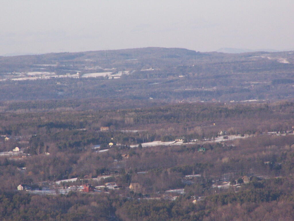
Settles Hill

Snowshoeing along Hang Gliders Road. There was some icy patches and I passed a group of young kids snowmobiling, probably from one of the neighboring farms.
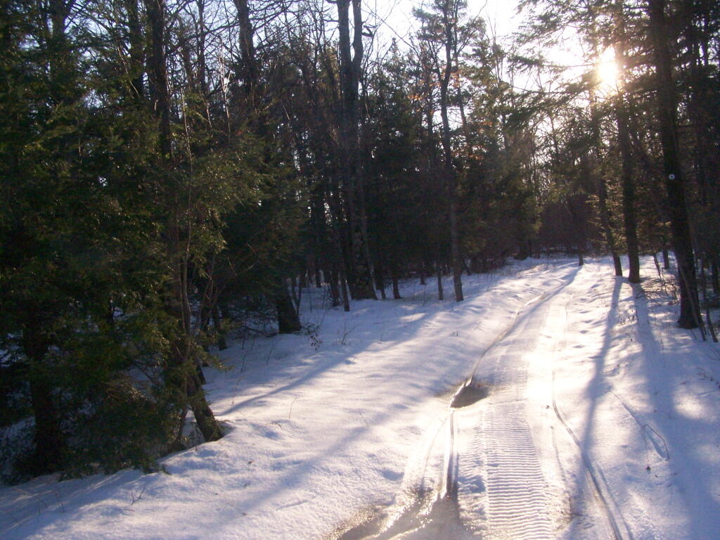
Along Hang Gliders Cliff Road

One of the things I don’t like about this time of year is the days are so short. That said, each and every day is getting a little longer, and twilight is now around 5 PM every night. In a month, the twilight will be much closer to 6 PM. Sunset was about 4:30 PM.
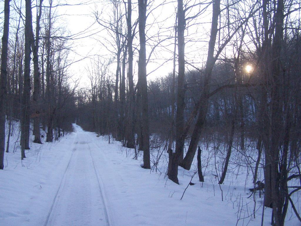
Setting Sun

There was waxing crescent moon hiking back to the truck. Quite beautiful, as the sun set in the opposite direction. It made for a beautiful hike on back to my pickup, as I headed home for the day on this wonderful day.
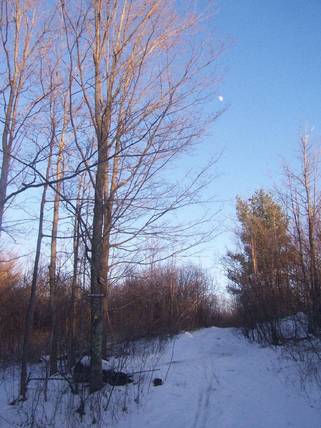
Almost Full Moon

The route I took is in green.
Map: Onondaga Escarpment Unique Area
Thematic Map: Watervliet Reservior - Land Cover in the Watershed

Snowshoeing at Grafton Lakes

Last Saturday I went out snowshoeing at Grafton Lakes State Park. I wasn’t planning on going out, until I realized how truly nice it was outside. I quickly tossed my snowshoes in the pickup, packed up my pack, and off I went.

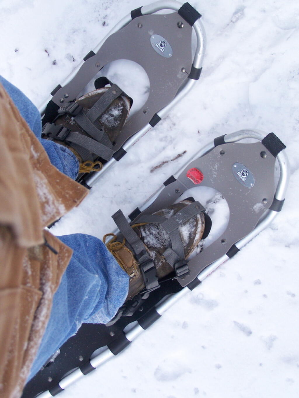
Snow Shoes

I drove out along Domain Road, past the winter entrance to the Grafton Lakes Park, and parked down along Second Pond. I didn’t realize that snowshoers/skiers could go through the winter entrance, and all the way to the beach on Long Pond. Instead, I snowshowed out along Second Lake to Long Pond. As you can see, Long Pond was not frozen.

 Shore of Long Lake

I decided to go on the trail around Long Pond. While I’ve been around Long Pond in a canoe and kyack in the summer, I’ve never been all the way around the trail in winter.

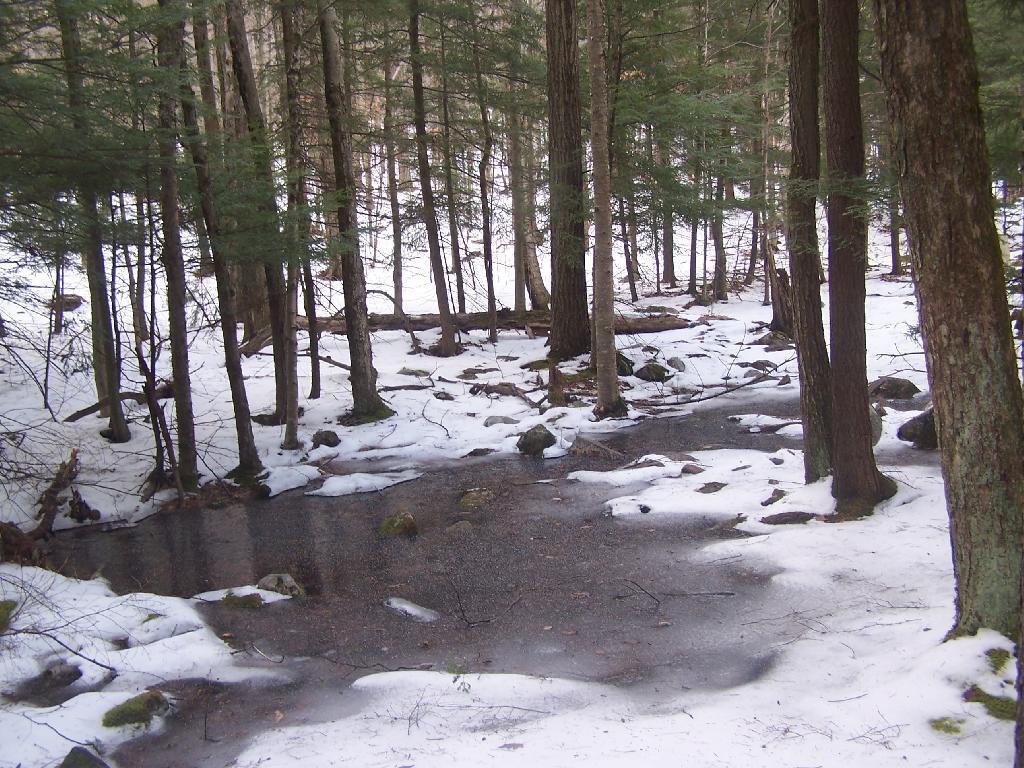
Several sections of trail would have been swampy had it been warmer. It instead was ice, in most portions thick enough, that the snowshoes crossed it without cracking through. The trail along Long Pond probably is not very good for hiking on wet times.

Icy Patch

The trail around Long Pond is signed with “More Difficult”. It is amusing to see the trail signed “More Difficult”, especially after all of the High Peaks and other mountains I’ve climbed in the Catskills and beyond. This trail is almost completely flat, bar a few rocks and roots sticking up and a few very small hills.

The far end of the lake looking due south towards the swimming beach. You can’t actually see the beach from here, because the lake turns slightly to the west from here.

Far End of Long Pond

After going around Long Pond, I headed along the Second Lake. This lake was frozen unlike the other pond. It was a bit too thin to dare cut across it.

Percent of Albany County Homeowners Who Moved in Before 1990

Here is a map of the snowshoe hike in blue.


View Hikes of 2009 in a larger map

Snake Mountain in a Snowstorm

I was up in Addison, Vermont to watch the demolition of the Champlain Bridge and I figured while I was up there I would go for a hike in the afternoon to see some of the beautiful vistas of the Champlain Valley. I have only been hiking once before on the Vermont side of the lake, and never down in this part of the Champlain Valley.

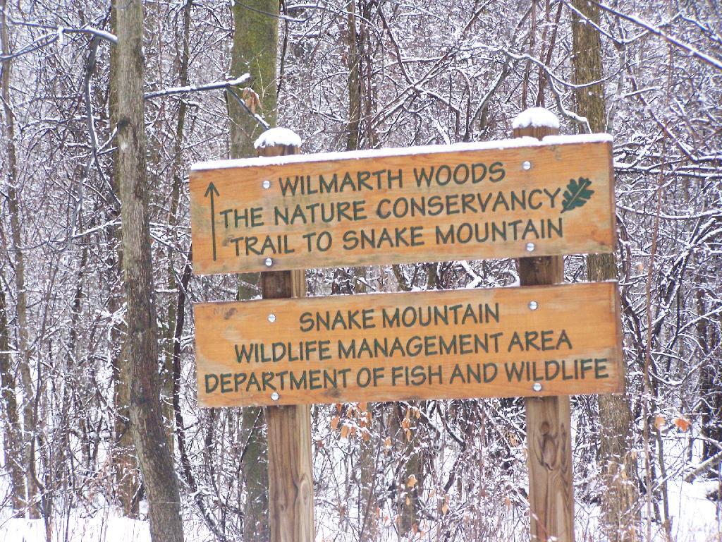
Snake Mountain Preserve Sign

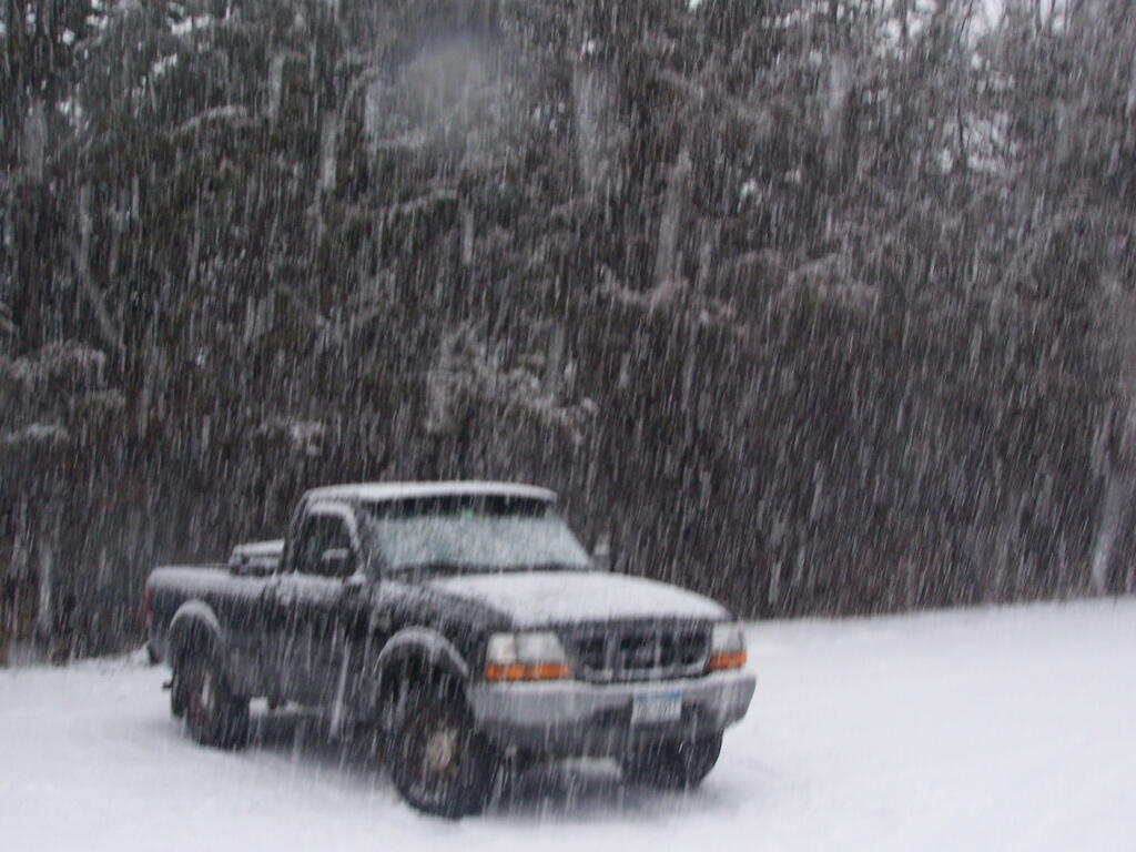
I really was hoping for a nice clear day with blue skies. What I got instead was heavy snow squalls and cold winds whipping along the mountain. I am sure things would have been quite beautiful if that was the conditions. Yet things where just a bit snowier throughout the day. This is what it looked like 3 PM when I was done hiking and reaching my truck to return back to Albany.

Reaching My Truck

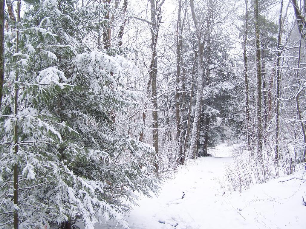
Regardless, it was a beautiful hike up the mountain with the trees being snow covered and the trail easy to follow. Everything looked so fresh from the morning’s snow, and the on-and-off sometimes very heavy snow throughout the day. As you can see, the trail is easily accessible on foot in the summertime, and in the winter by cross country skis or snowshoes.

Descending the Mountain

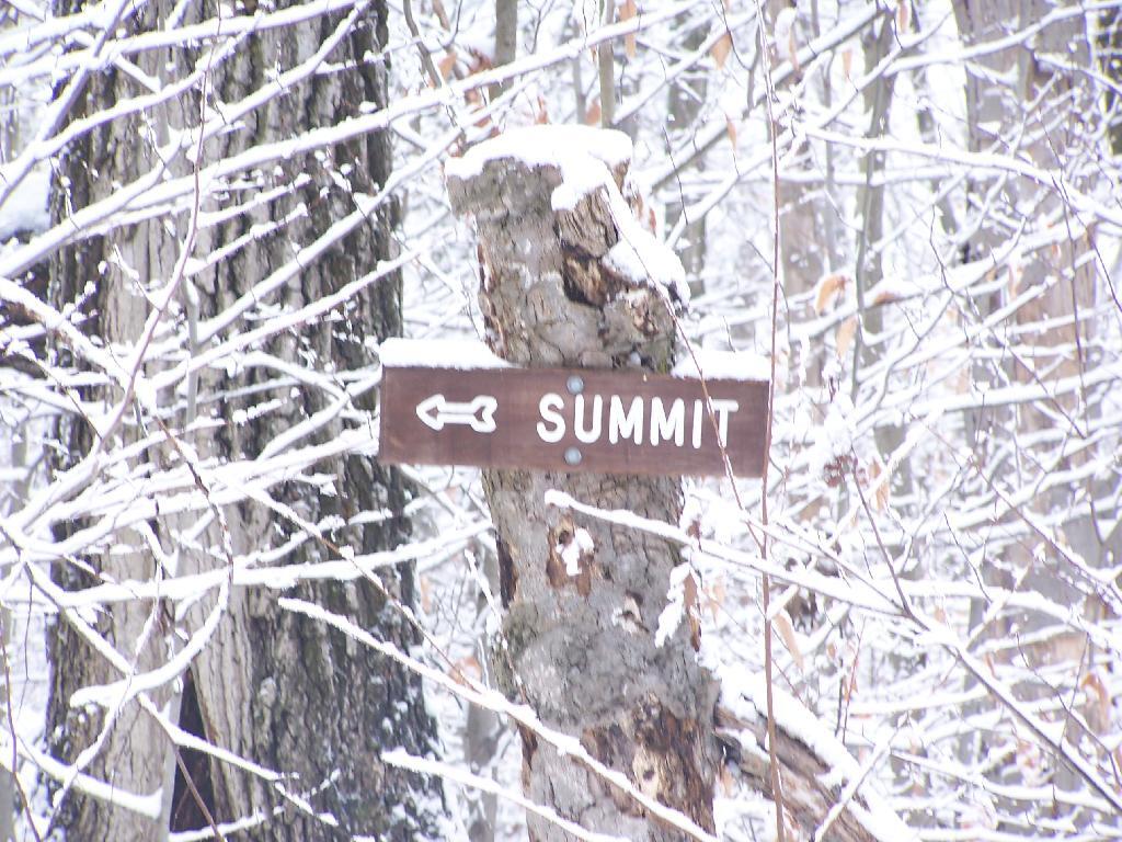
There are occasional trail markers up the mountain, including signs on turns for the Summit, but a few side trails so you will want to make sure you have a map. Fortunately, you can get one from Vermont DNR with on Snake Mountain WMA. One thing with that map is it doesn’t include a lot of the switchbacks, so you might think you have gotten off the trail even though you haven’t. For the most part, it’s not bad, as it’s an old woods road.

Turn for Summit

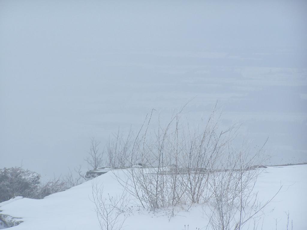
The view off the summit of Snake Mountain is one of the most remarkable ones (so I’ve been told on the Internet), but not a day when it’s snowing. You can see a little of the farm fields below when the snow let up a little bit, but it pretty much was a blind view. I was seriously disappointed, after driving up to Addison from Albany, NY and seeing neither the demolition of the bridge or off Snake Mountain from the snow.

View off Snake Mountain

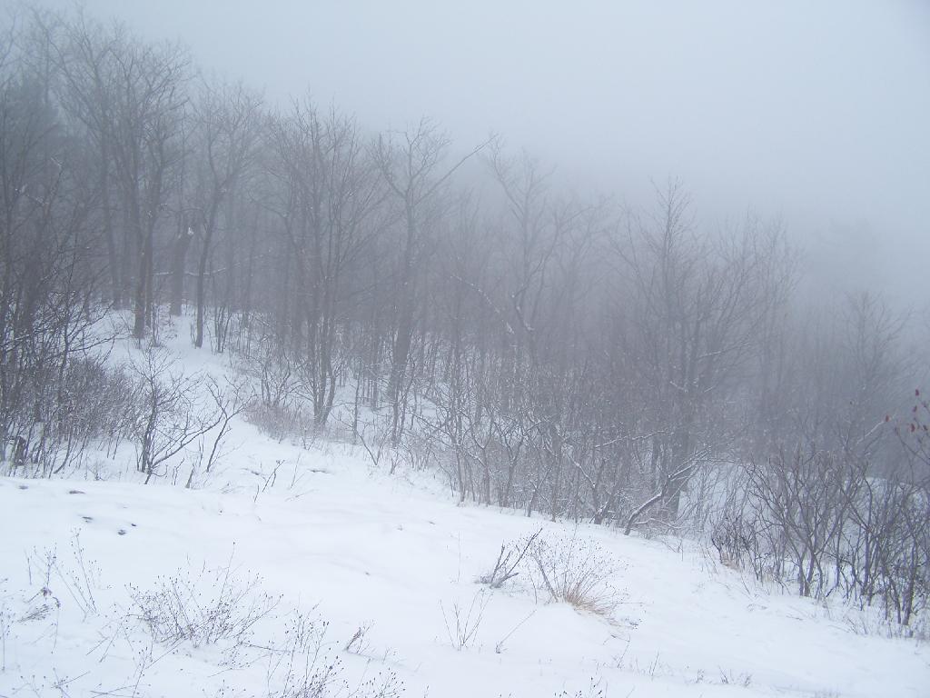
At times walking around the Summit of Snake Mountain I couldn’t really tell if it was snowing as much as I was up in the clouds. It was cold and the wind was whipping around, and visibility was really poor.

Cold on Snake Mountain.

It’s winter out, and it is snows in Vermont. The moral of the story is while hiking is delightful in fresh winter snows, it also means that visibility off the mountain really isn’t all that great.

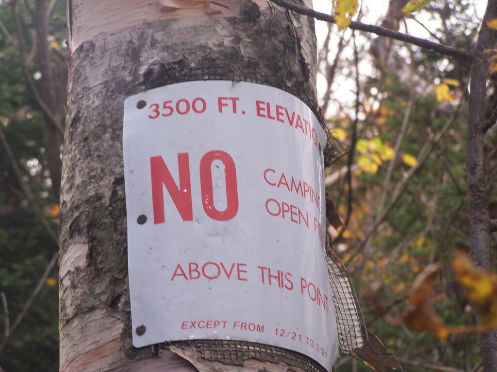
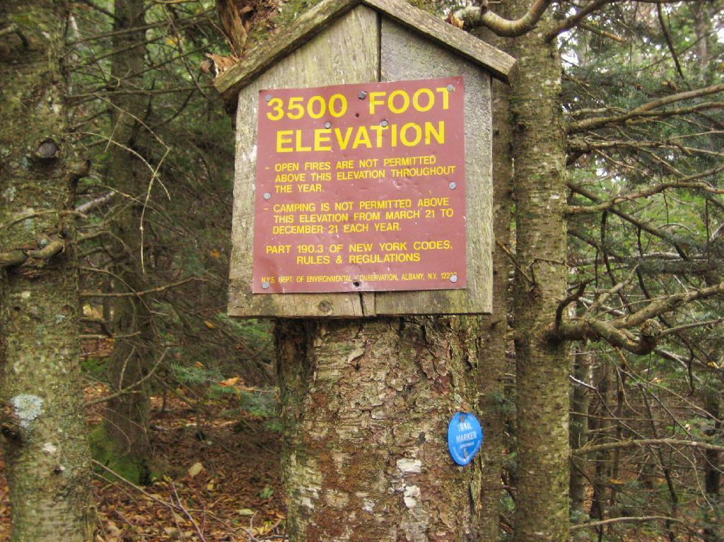
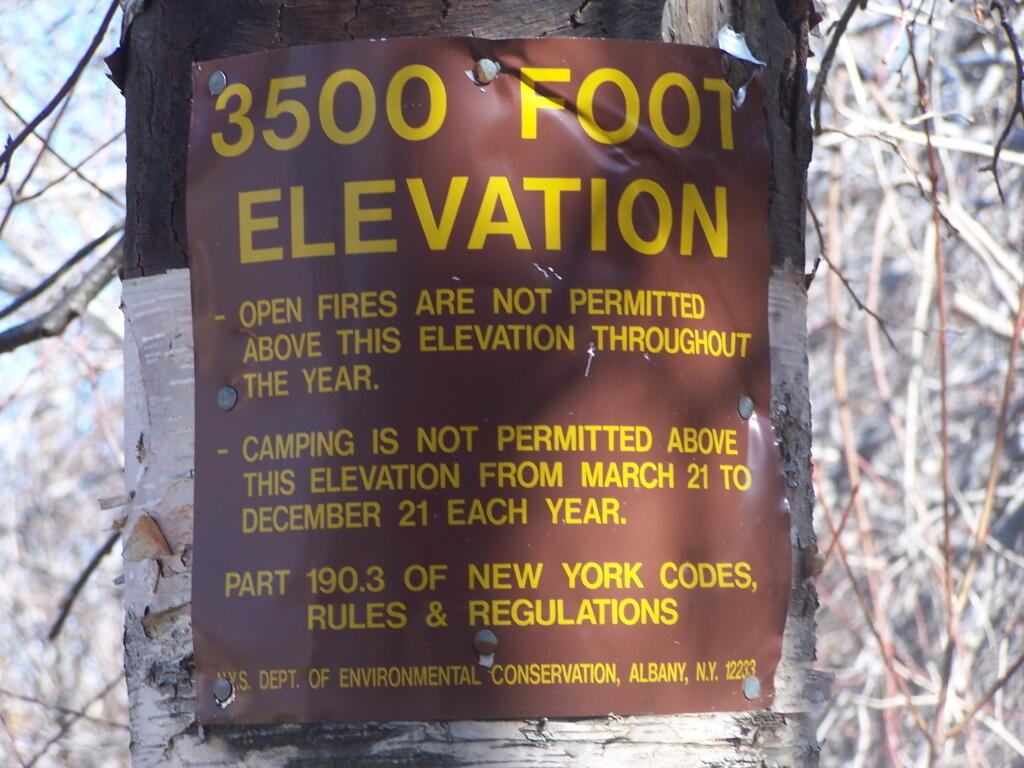
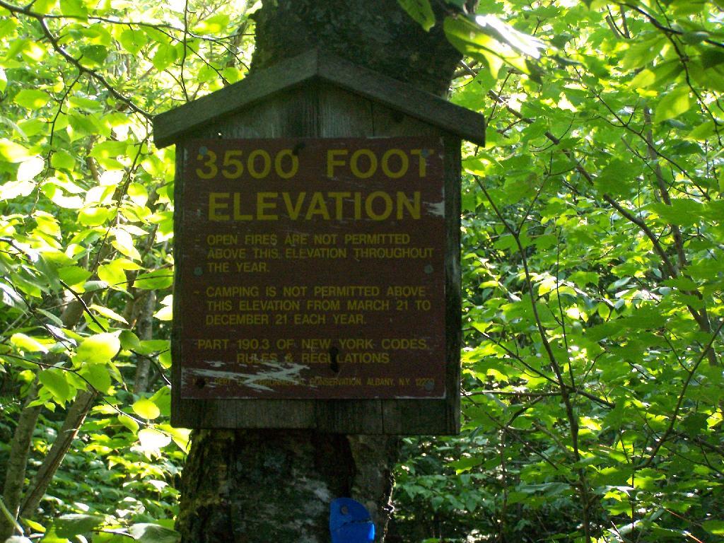
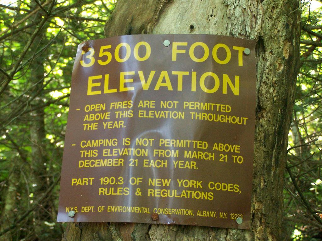
3500 Feet Markers

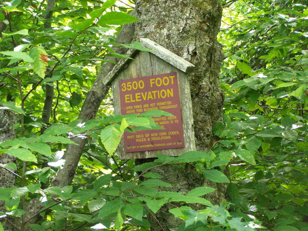
When you climb above 3,500 feet elevation in the Catskill High Peaks, a special set of regulations is in effect that prohibits camping except in the winter, and bans open fires throughout the year. This is because the eco-systems above this elevation on the 35-high peak mountains are viewed by the Environmental Conservation Department as ecologically sensitive.

I didn’t take the 3,500 feet signs on every mountain I climbed, most notably skipping over the sign on Hunter Mountain, Windham High Peak, and Black Dome.

Balsam Mountain.

Hiking up to the Balsam Fire Tower, about a 1/4 mile or maybe 200 feet below the tower.

3500 Feet

Indian Head Mountain.

Climbing up the east face of the Indian Head Mountain, this sign is maybe 3/4 of the the westerly face of the mountain.

At 3500 Feet

Panther Mountain.

You see Panther Mountain‘s 3500 feet sign about a 1/4 mile and 200 feet more of climbing before you reach the final ascent.

3500 Feet on Panther

Plateau Mountain.

The sign on Plateau Mountain is about a half mile from the top, although the last portion is relatively flat.

Plateau Mountain at 3500 FT

Slide Mountain.

Slide Mountain, the tallest mountain in the Catskills at over 4,200 feet. The sign is probably a mile away from the final ascent.

Reaching 3500 Feet

Twin Mountain.

The sign is the second of two signs on the way up to the top of Twin Mountain on Devil’s Path.

3500 Feet Elevation Marker