forest

90% of Wild Forest is Actually Wilderness

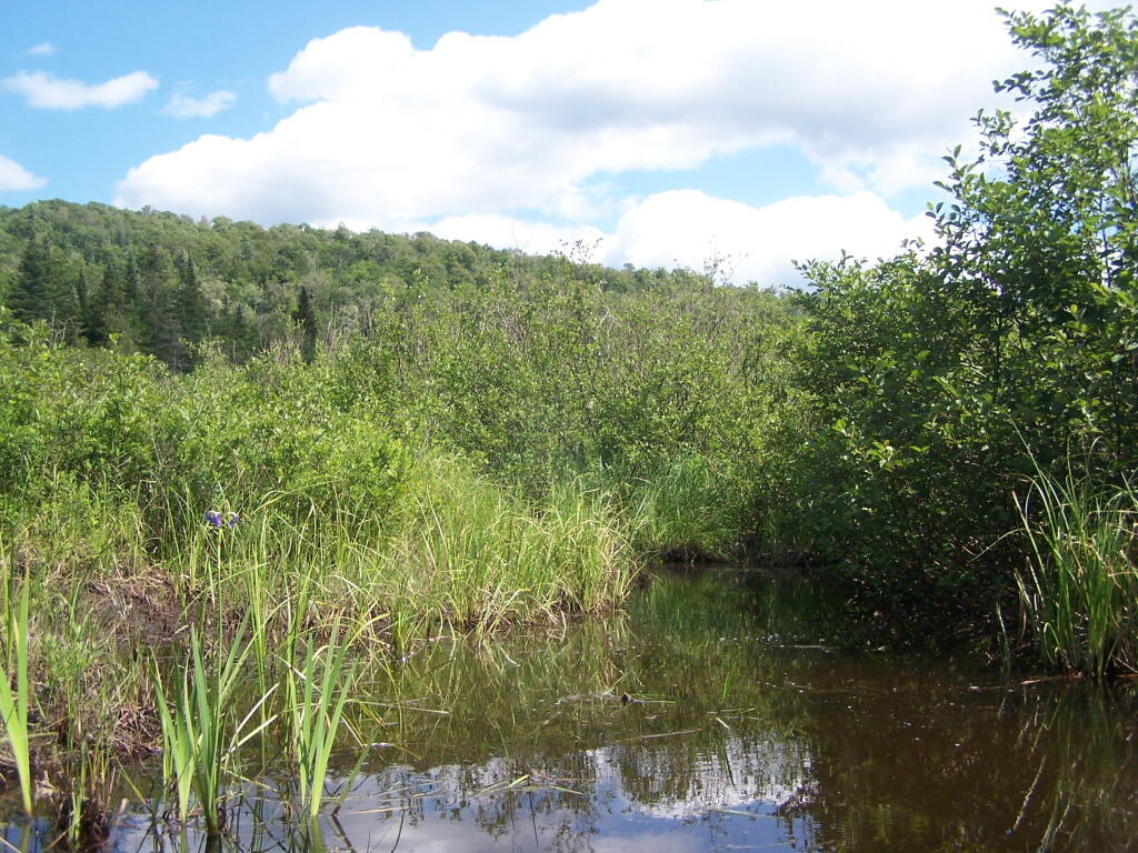
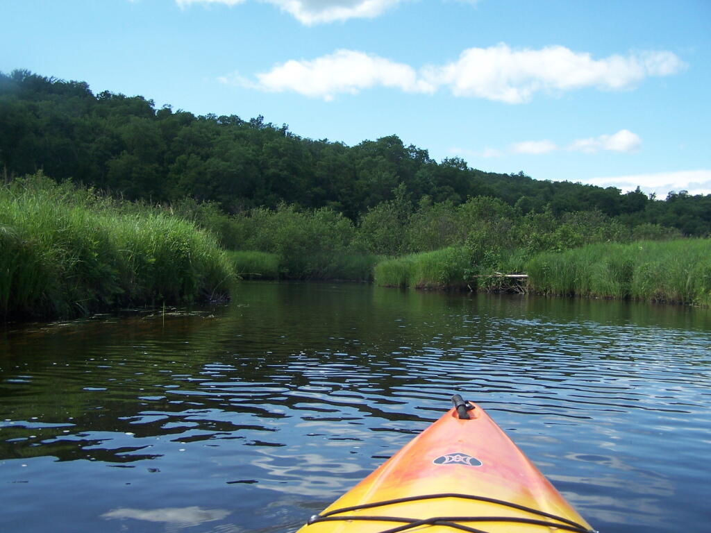
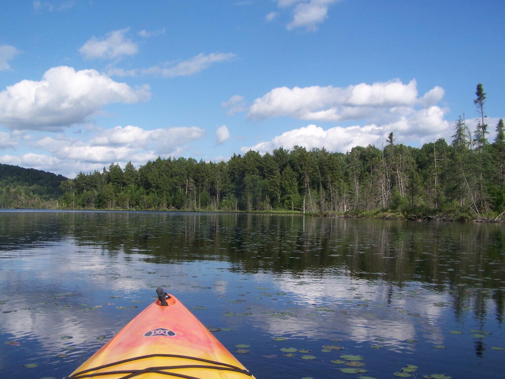
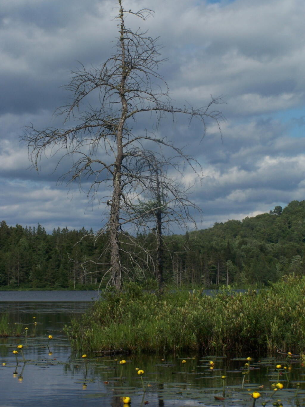
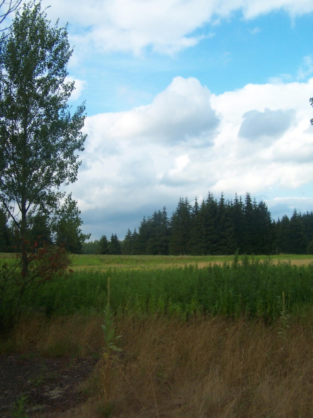
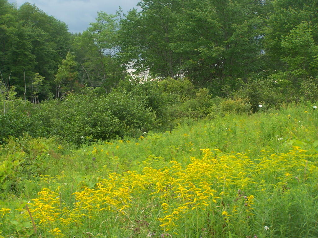
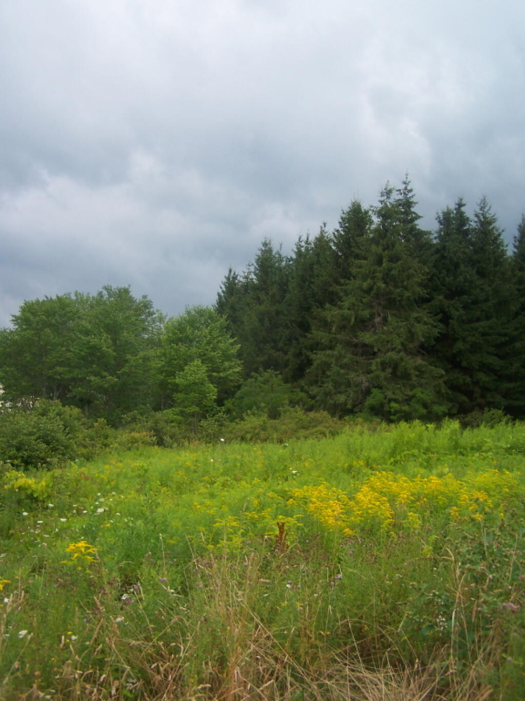
A secret of the Adirondack State Land Master Plan is that well over 90% of the lands officially dedicated as Wild Forest are actually forever: wilderness, even though it’s not called that.

Wilderness Area

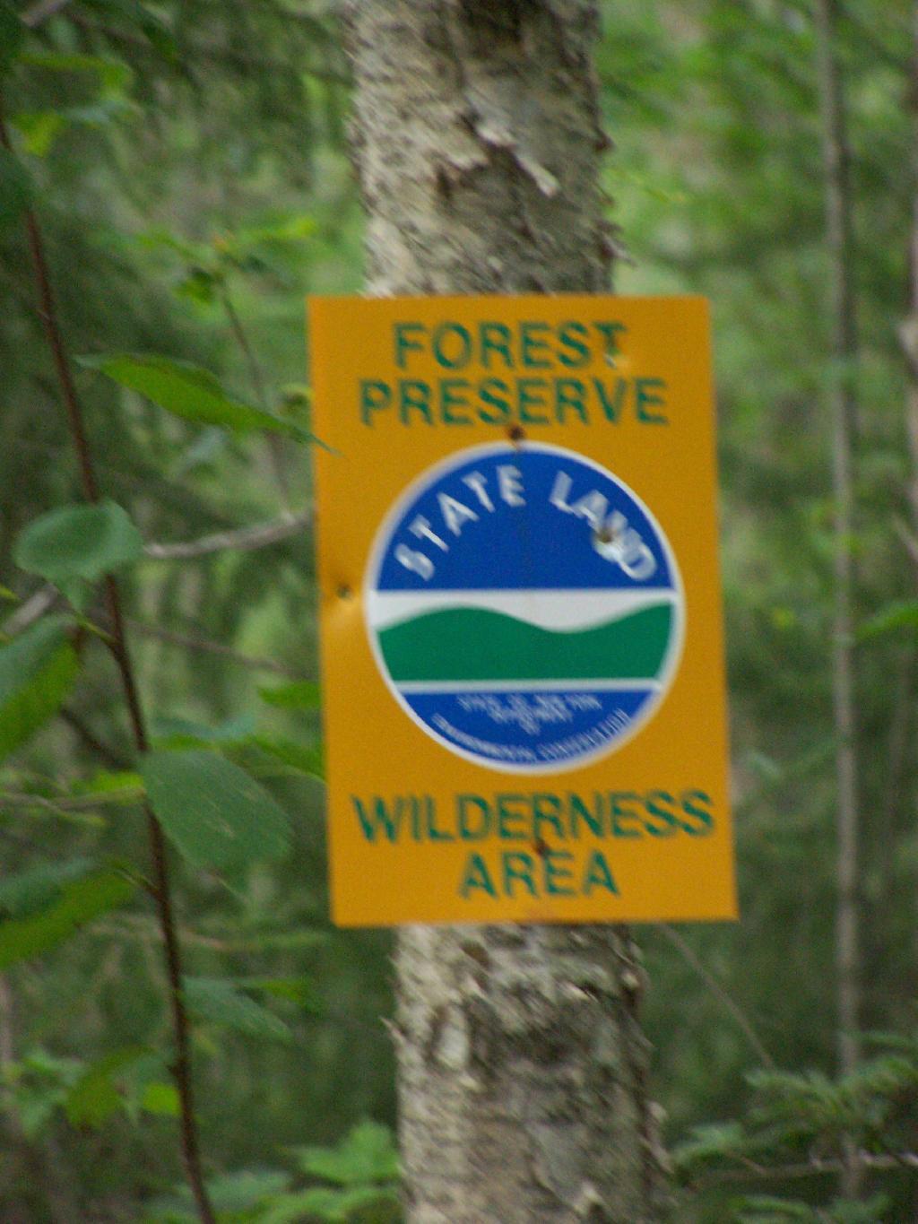
Here is why from Adirondack State Land Master Plan:

4. Public use of motor vehicles will not be encouraged and there will not be anymaterial increase in the mileage of roads and snowmobile trails open to motorized use bythe public in wild forest areas that conformed to the master plan at the time ofits original adoption in 1972.

That language basically makes it clear that no new roads or truck trails will be created in Adirondack Forest Preserve. Therefore, except for a handful existing roads, the vast majority of lands of Adirondack Forest Preserve will forever remain free of motor vehicles and snowmobiles (in winter). The milage of snowmobile trails and truck trails will only decline in coming years, strictly fitting into defination of “wild forest”.

Helldiver Pond in Evening

Moreover per the consitution:

The lands of the state, now owned or hereafter acquired, constituting the forest preserve as now fixed by law, shall be forever kept as wild forest lands. They shall not be leased, sold or exchanged, or be taken by any corporation, public or private, nor shall the timber thereon be sold, removed or destroyed.

Therefore per the consitution, no timber may be removed or destroyed in the forest preserve, which means the consitution explicitly prohibits any new road from being constructed in the forest preserve, except where an existing road exists. You can’t build a new road through the forest without cutting timber.

Across Mason Lake

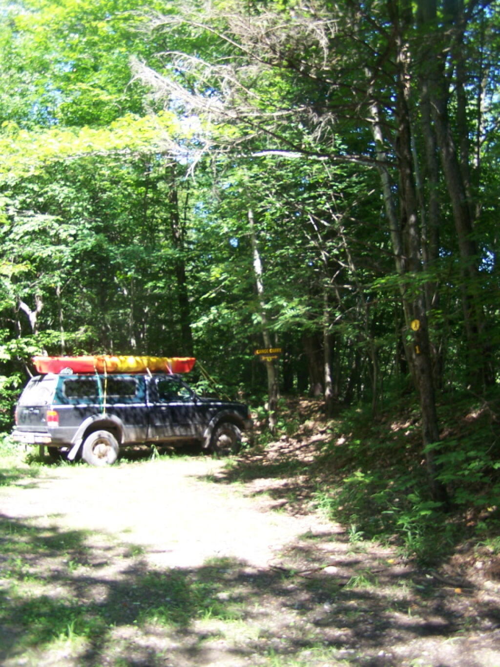
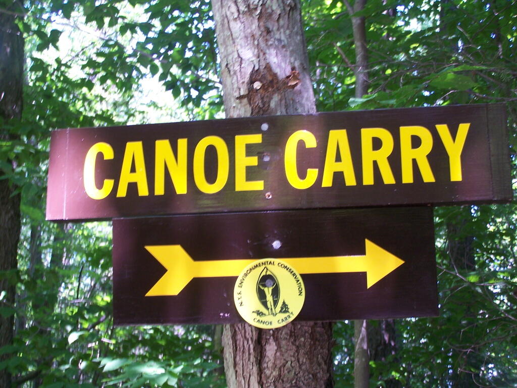
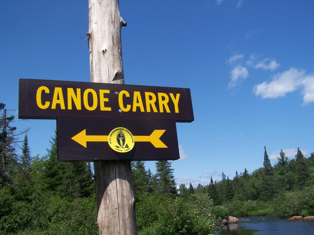
The only constraint from designating all of Adirondack Wild Forest as wilderness, is some of the parcels are smaller, and there a minimal roads going to campsites, lakes, destinations, and private lands throughout the park, mostly low-speed forest preserve roads, with minimal use.
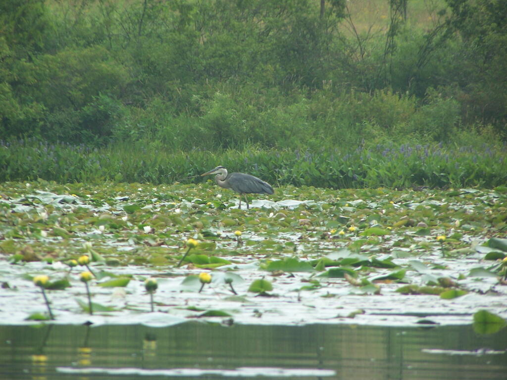
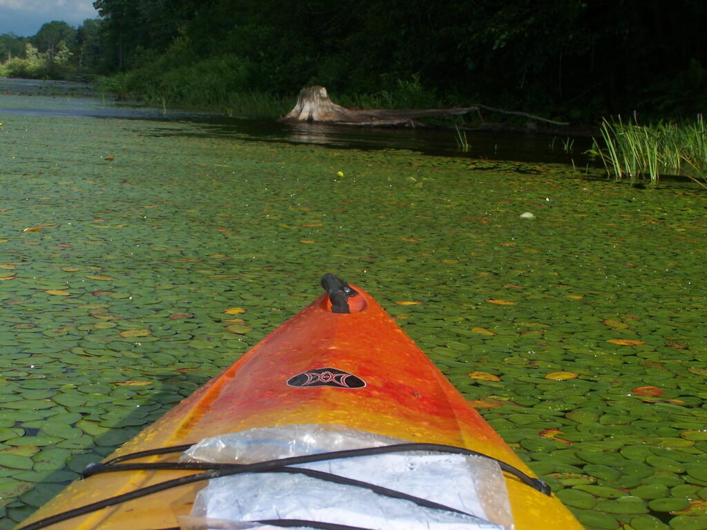
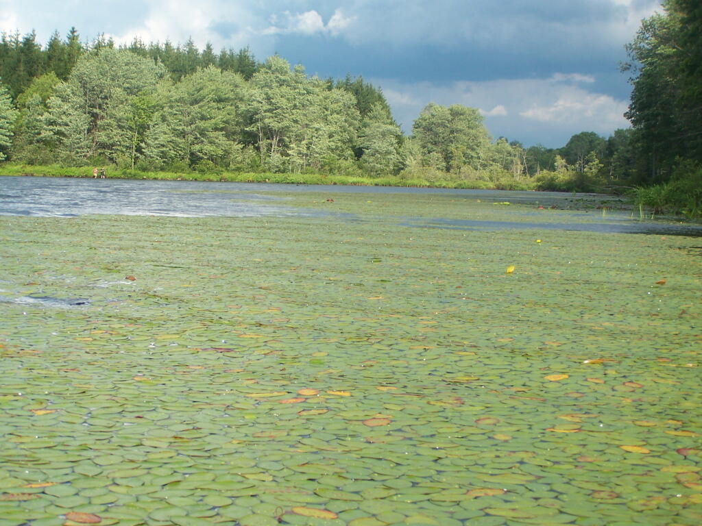
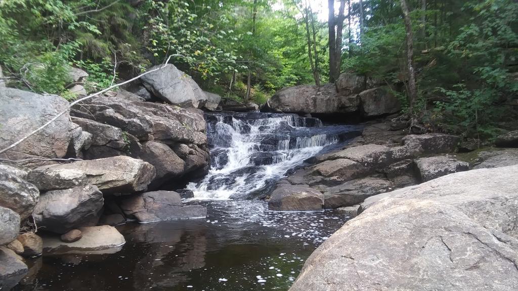
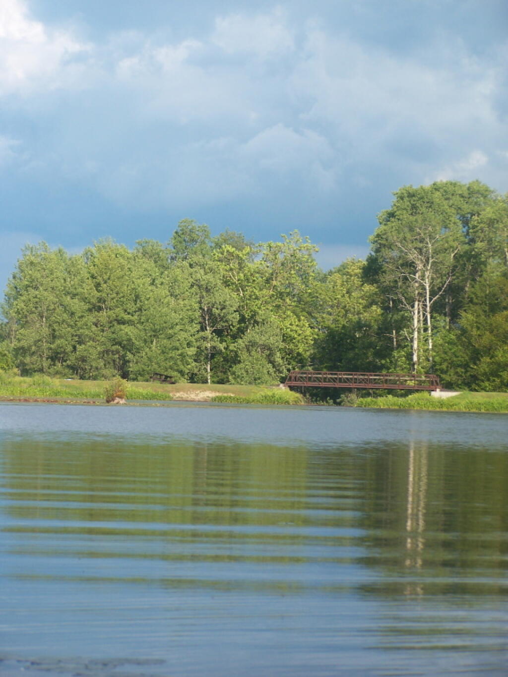
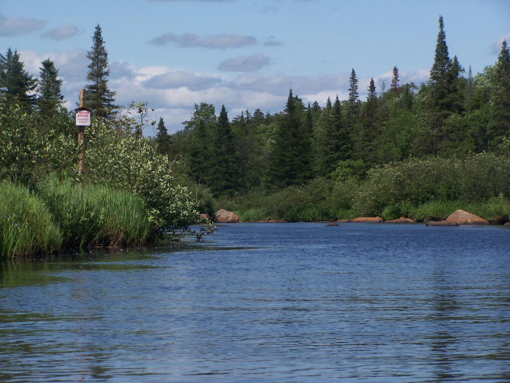
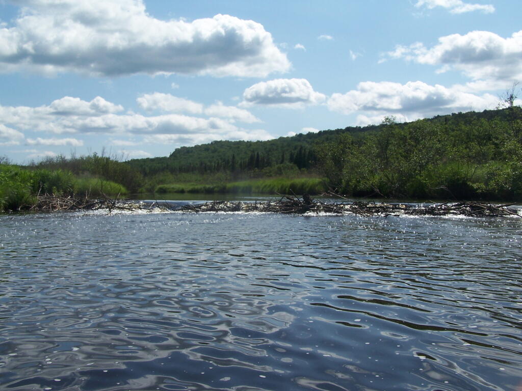
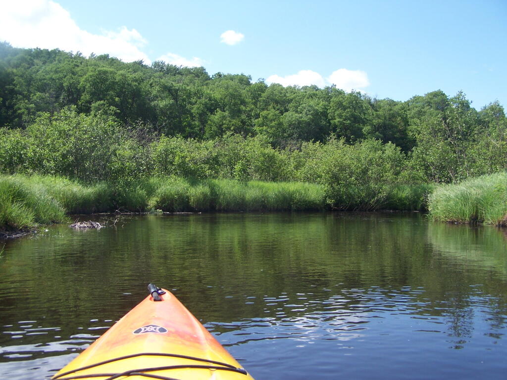
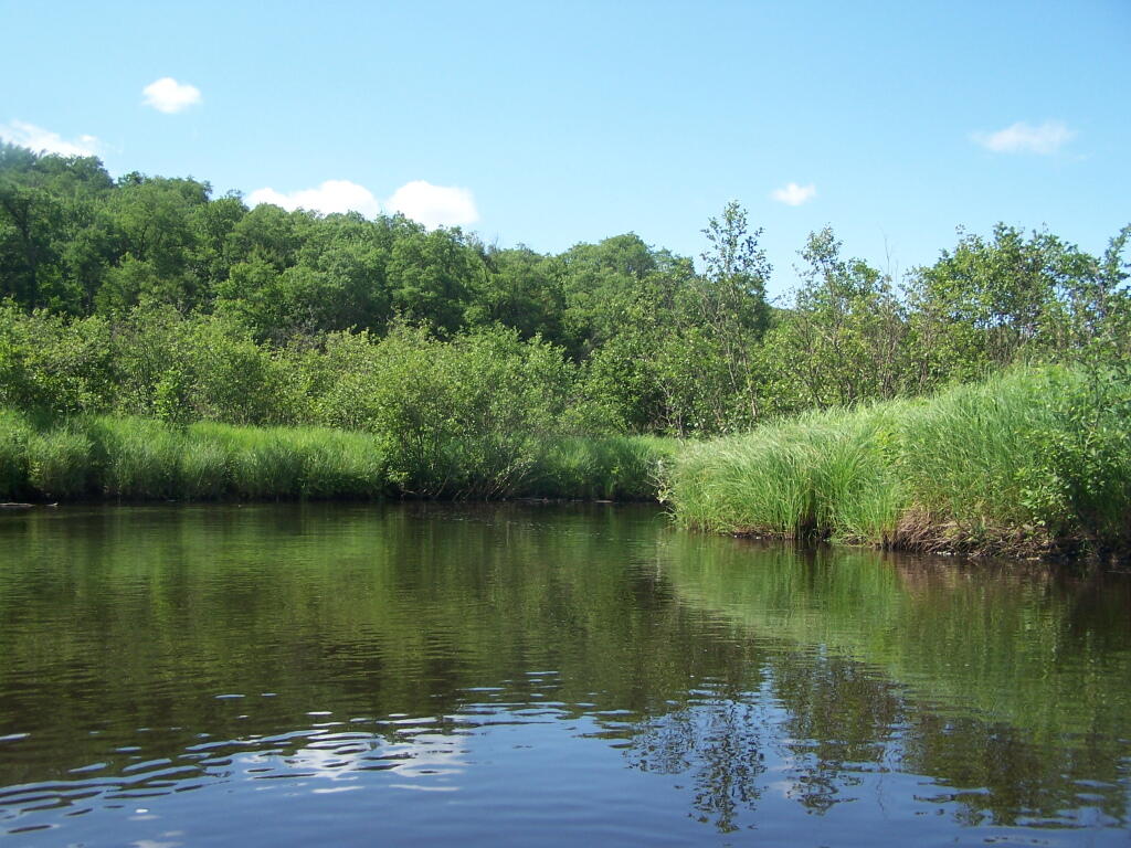
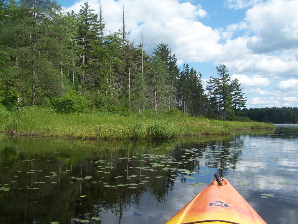
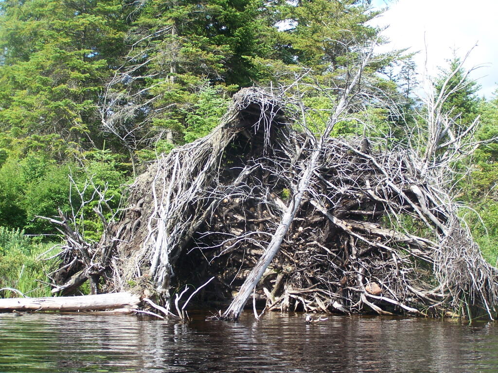
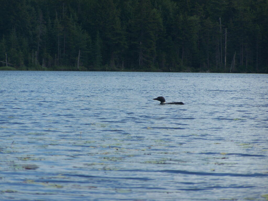
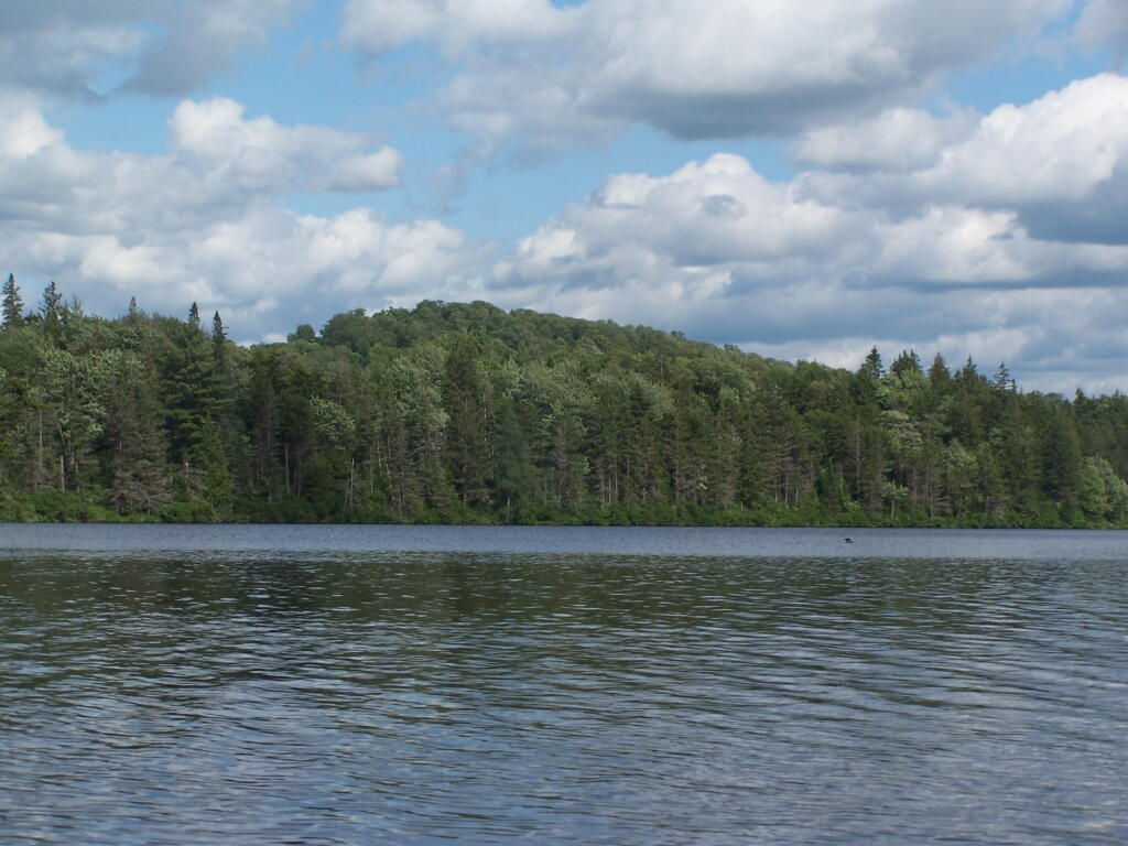
… no roads, no timber cutting = wilderness area

Kayaking Long Pond

Long Pond offers 8 designated roadside campsites, and a handful of other informal campsites on the other side of the lake. A large man-made lake in an agricultural landscape of Chenango County, it offers some excellent fishing and nice views, especially for Chenango County.

Reed Hill

This map below shows where each picture was taken roughly in the area.

Farm on North-West Side

Flower on Lake

Barn Along NY 41

Rain Drops

Bailed Hay Along Pond

Flowers

Dolph Pond State Forest

Great Blue Heron

Finally Starting to Clear!

Timber Planation Along Long Pond

Blue Skies

Checking the Map

Clearing

Hatch Brook Falls

Dam at End of Lake

 Fields

White Birch Planation

West from Dam

Campsite 7

Golden Rod

Golden Rod, Trees, Clouds

Evening Sun Peaking Out

Rays Hitting the Pond

Backlit

Evening Sun Peaking Out

Sunset on the Lake

Sun Rays

Reflections of Sun

Large NY State Forests Tend to Be Located In Rural Areas

There are many state lands across New York State.

Paddling Cayuta Lake Inlet

The problem is, for many New Yorkers, the largest and most interesting parcels — the Catskill Forest Preserve, the Adirondack Forest Preserve, larger state forests like Brookfield Horse Camp, Brashier Falls, Tug Hill State Forest, Sugar Hill, are all a long drive from where they live.

This map shows the town population versus the location of state forest and forest preserve lands that are popular for hiking, camping, fishing and hunting. I did not include state parks. Note how unpopulated most areas are with large state forests.

Down By Long Pond

To demostrate how dramatic this is, take a look at a map of urbanized or otherwise developed areas of New York State based on Landstat data. Yellows are suburban areas, while reds are urbanized downtowns with few trees or forest — the kind of people you would think would most likely want to spend time in the woods.

Craziness at the Early Vote place

Maybe we don’t want lots of urban folks coming to the state forests. Maybe there remoteness keeps people away. Yet, it shows the large disconnect from large public lands and the population centers across our state.