experience

Crane Pond Road in My Pickup

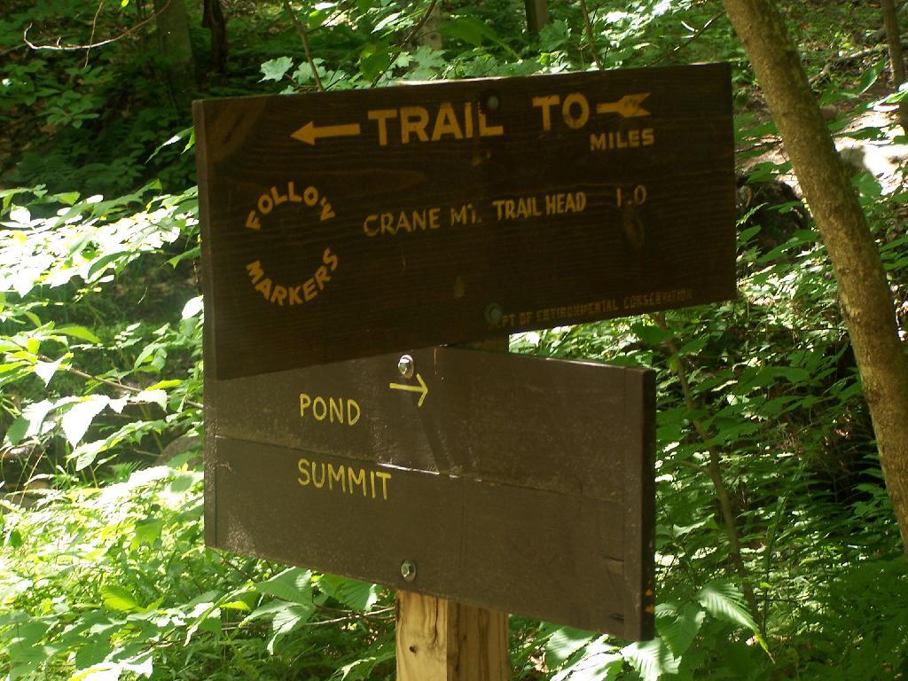
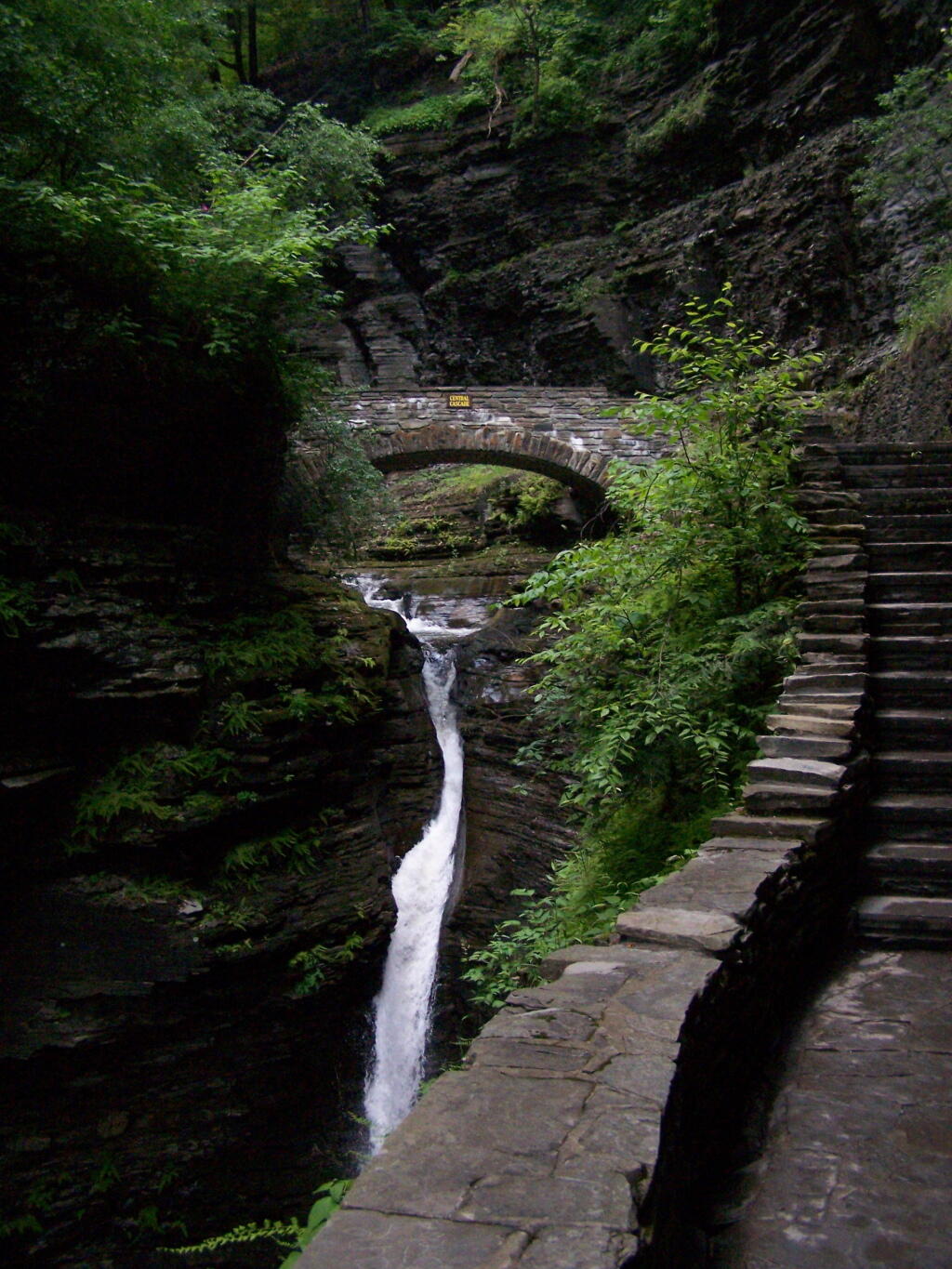
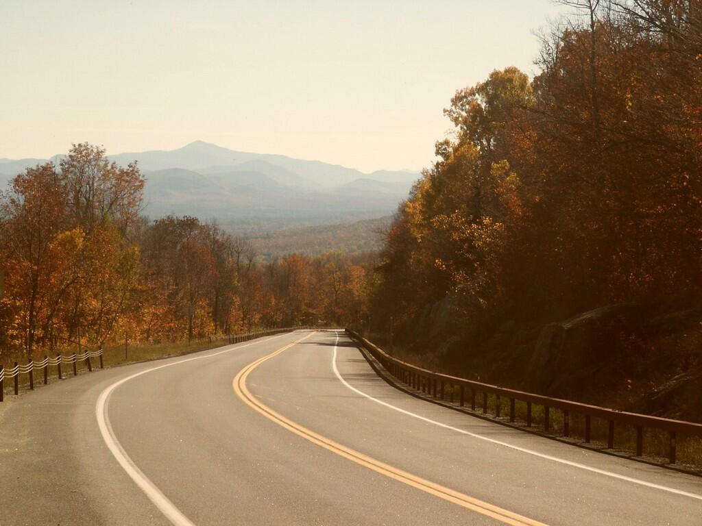
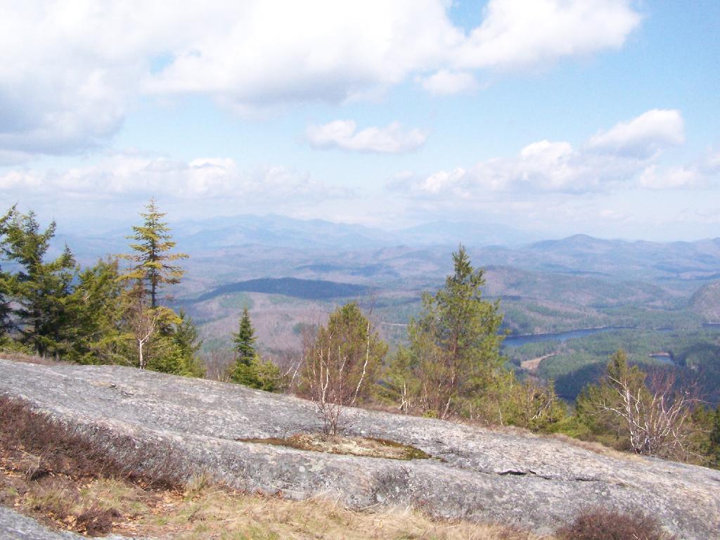
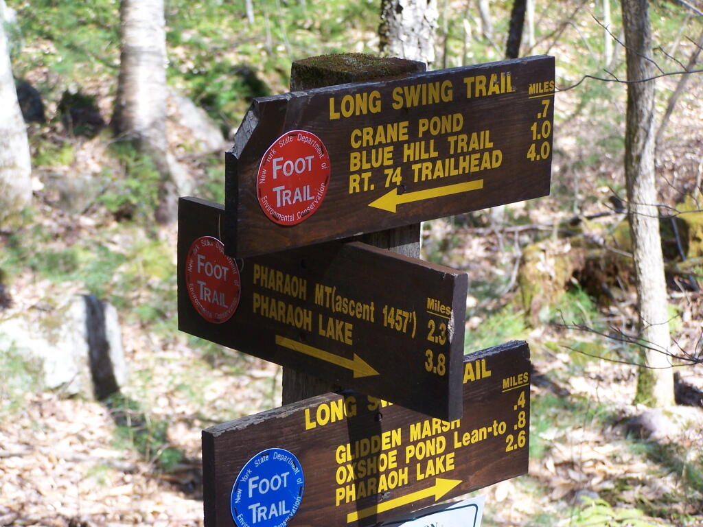
Crane Pond Road is a 2 mile historical truck trail in the Pharaoh Lake bureaucratically-defined “Wilderness”. This truck trail provides access Alder Pond and Crane Pond, along with access to hiking trails to Goose Pond, Glidden Marsh, Oxshoe Pond, Crab Pond, and Pharaoh Mountain.

In the Wilderness?

This truck trail is popular and is frequently used hunters, fishermen, backpackers, and hikers visiting the vast lands of Pharoah Lake “Wilderness”. The wilderness distinction, is rather dubious as these lands are not historical wilderness but only designated as such on paper by the Department of Environmental Conservation and the Adirondack Porn Agency. There is few old growth forests or undeveloped land remaining in our state, and the wilderness designation is frequently abused by environmental extremists.

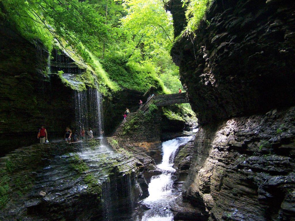
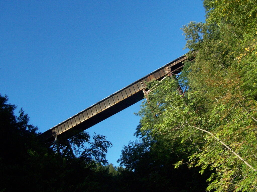
The entire Pharaoh Lake “Wilderness” is traversed by old logging roads, has old foundations, and other ruins of a once privately owned, farmed or logged land. Many of the hiking trails follow old logging roads. The state has developed foot bridges, hiking trails, and many lean-tos throughout the property, so man made structures are not uncommon to find in this so-called “Wilderness”.

Oxbow Pond LeanTo

A Rough Truck Trail.

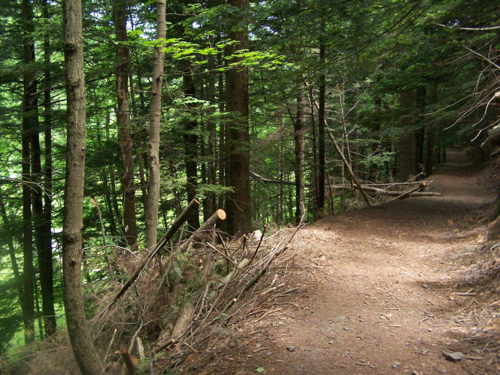
The entire Crane Pond Road is a rough truck trail. It’s has gotten minimal maintenance by the state of New York, ever since those with an certain extremist ideological agenda attempted to get this truck trail closed off.

 Relatively Smooth Section of Crane Pond Road

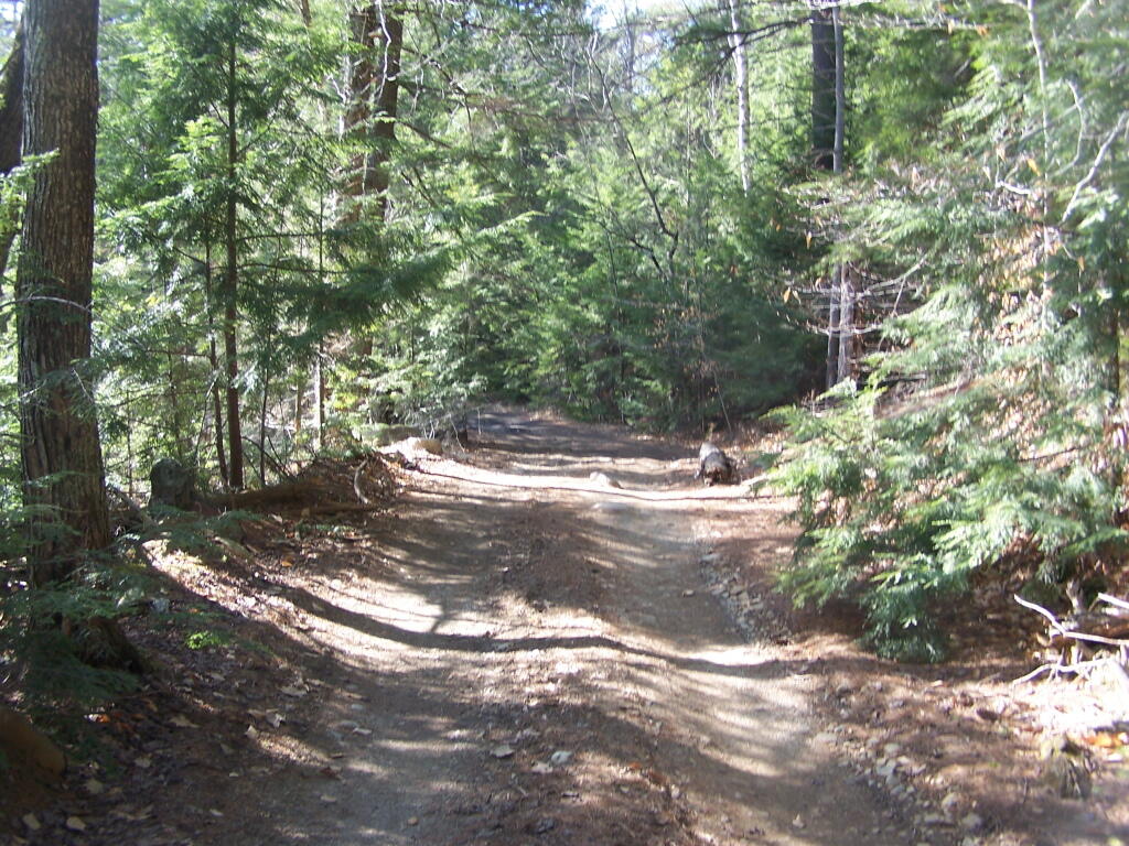
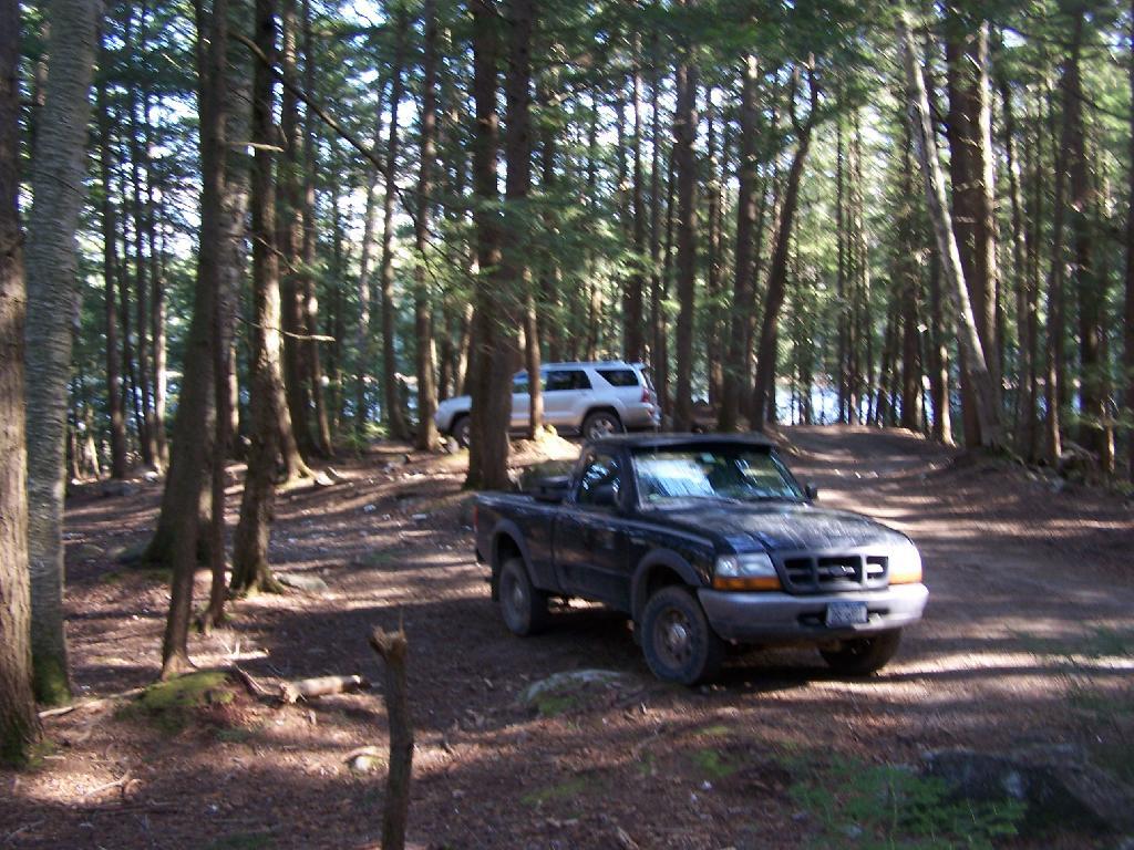
Some portions of the truck trail are deeply rutted, and at least this time of year, very muddy. A few places are washed out, and you have to travel past washed outs, or carefully climb over them. I bottomed out my Ford Ranger a couple of times and could feel the front-drive train pulling the back wheels along as they started to slip.

 Where Crane Pond Road Crosses Alder Pond

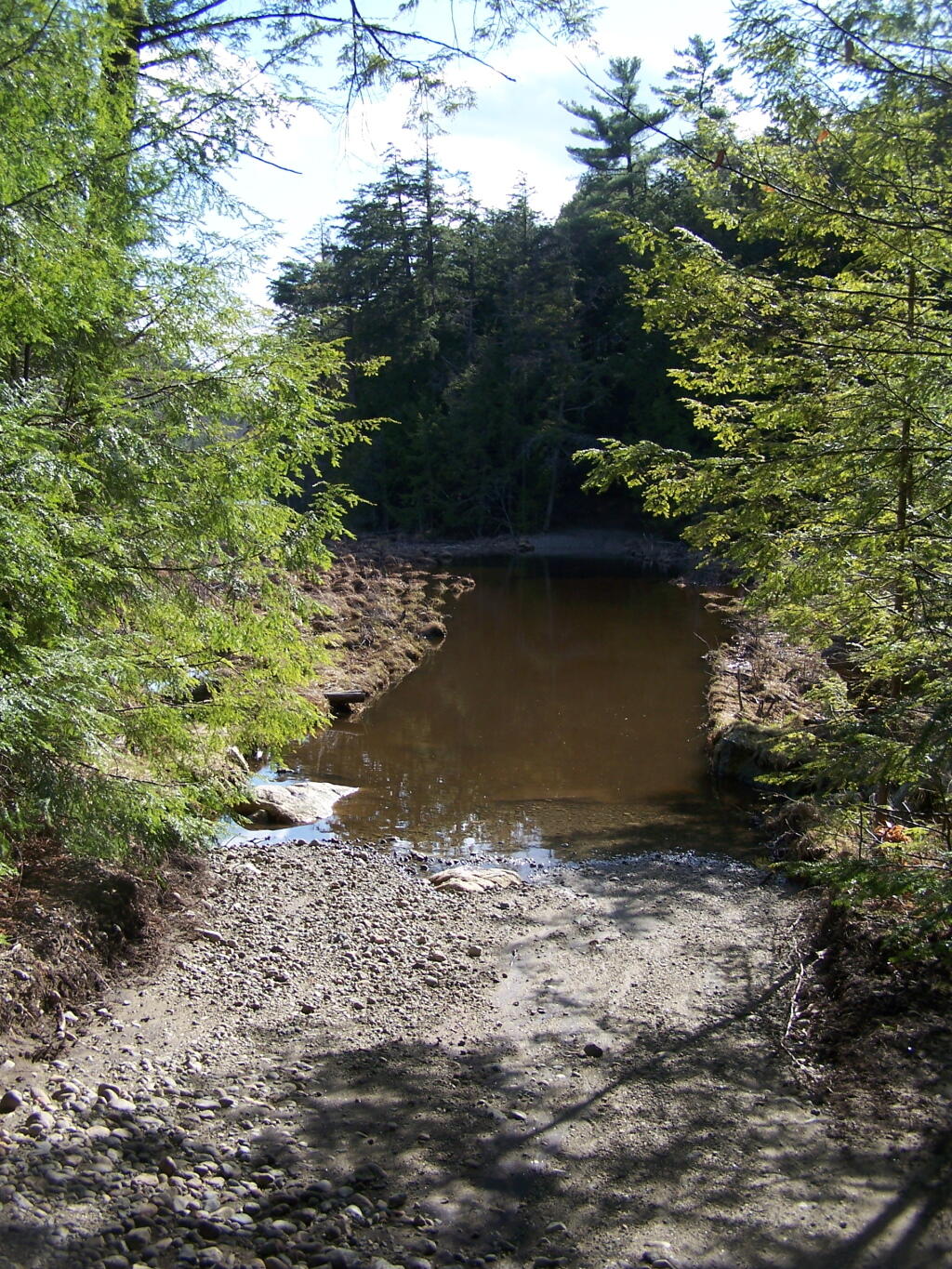
Towards the end of the truck trail, the truck trail actually crosses an inlet to Alder Pond. I didn’t try driving through this section during the high water of spring, but apparently at least one person with an old Chevy K1500 4×4 made it to the end without problems.

Lazy spring days

I drove to the pull-off right before the spot where the truck trail crosses Alder Pond. In low water, I wouldn’t mind driving through the inlet to the parking area at the end of Crane Mountain Road, but I wasn’t going to get my pickup stuck or flooded.

 My Truck Parked at Alder Pond

A Good Thing to Still Be Open.

All and all, I am happy that citizens fought to keep this existing truck trail open, against an extremist ideological agenda of some environmentalists. It shortens the hike up Pharaoh Mountain by 4 miles, and provides easy access to many important areas.

 Granite Rock Face

This would have been different issue if was proposed by the NYS DEC to build a new road through the Pharoah Lake “Wilderness”. If the DEC had shown up with bulldozers, and chainsaws, to cut a new road one could have made an argument against building a new road.

 Intersection

Yet, Paraoh Lake “Wilderness” is not that — it’s a land that has long been minimally developed with forest access roads, trails, lean-tos, with Crane Pond Road long being minimally maintained to provide access to this important public land. It’s not a Strip Mall or Housing division, and most of the area is very wild, even if it’s somewhat developed to provide for the public access and enjoyment.

New York State Should Maintain &
Keep Crane Pond Road
OPEN to Public Motor Vehicles !

SVGZ Graphic: Number of Dollar Generals in Each County
SVGZ Graphic: Distance to Dollar General

Have I Ever Gotten Lost?

Notes on the Re-Run for Saturday, March 10th.

— Andy

I’m not sure if I have ever gotten lost before in the woods. There has been times when I’ve taken a trail to a surprise result. I don’t always have a perfect map in my head of every area I’ve been to, and sometimes when visiting a new area, I will loop back upon on a trail and be quite surpised at that fact.

Sometimes I will run into something unexpected in the woods that makes it impossible to reach my destination the way I originally expected. The cliff might drop off steeply, their might be a pond in the ways, the trail might be really muddy and mucky, or their might be a hunter up ahead. I usually find my way back to the trail without a problem.

There have been times when I’ve had difficulty locating one point or another. I almost always find it, after a little searching, if it’s nearby. Sometimes I will give up and go back, especially if my map’s quality is poor or if it’s not readily apparent where it should be.

One Mile Left

I guess some day I will get truly lost.

Watkins Glen

I happened to be driving through Watkins Glen on my trip from the Finger Lakes National Forest to Sugar Hill State Horse camp, so I figured I would take a walk up the trail once again. I’ve been there before, but I figured this would be a chance to get photos when the light was better.

Watkins Glen Sign

The last time I was there it was early in the morning. This proved to be a problem for photograhpy, without a tripod, because it was so dark in there. It was much lighter in the middle of the day, abit much more crowded. It also was a very humid day out there.

Clove

In several sections of Watkins Glen the trail cuts through caves to get around mountain faces, then emereges out to the most beautifully lit green areas.

Green Cave

The trail follows the edge of the Glen, crossing it several times on beautiful stone bridges.

Bridge

The trail is beautifully designed and a pleasure to walk, although on a humid day like today, it was pretty hot, despite being largely in the shade.

Stairs Turn

The trail goes under several waterfalls, and after the week’s rainy days, it was pretty wet in spots.

Drip Drop

And almost magical scene in Watkins Glen. This whole area somewhat spirtual feeling, especially on the backdrop of such rich greens.

Stay Dry

When you reach the top of the glen, the waterfalls become farther appart and less steep and the creek is relatively flat.

Year of Peak Employment by County

At the top of the Glen is this old railroad bridge. It appears the line is actively used; it would be neat to capture a train going over the Glen. Maybe someday.

Railroad Bridge

Here is a map of the trail I walked in Watkins Glen.


View Hikes of 2009 in a larger map

Here are maps of Watkins Glen.

Vromans Nose

After spending the night at Burnt Rossman I decided to go up Vromans Nose for a short hike, where I could sit out and watch over the Schoharie Valley and take some pictures. I’ve been up Vromans Nose a dozen of times before, but it’s always nice to go up for another visit.

The old roadbed up the mountain.

Old Road Bed

The edge of the mountain.

Edge

With thunderstorms coming in the sky was the most interesting of colors.

Pinkish

I spent about an hour up there before coming down.


View Hiking in 2009 in a larger map

Why I Like Working on the Blog

Notes on the Re-Run for Saturday, May 19th.

— Andy

Occasionally people as I why I blog.

I have a story to tell and a life to share.
I want people to read and experience a little piece of my world.
I have a desire to express.
I want to be an individual.

It’s not because I want to impress anyone.
It’s not for a girl friend, a boy friend, my boss or anyone else.

Route 357 Dannemora

I just want to develop a sense of identity.
Some kind of meaning.
Reflect upon my own priorities in life.

I want to figure out right and wrong.
I want to be able to look back and see what I’ve done wrong
and right.