![Untitled [Expires February 10 2025]](https://andyarthur.org//data/photo_014197_large.jpg)
Day: May 15, 2026💾
🗺️ Maps

Rain
Watch the rain come in this morning.
Saturday May 30, 2009 — Tongue Mountains — Five Mile Mountain And Deer Leep 🗺 — Tip Of Tongue Mountain 🗺— PDF with All Maps 📚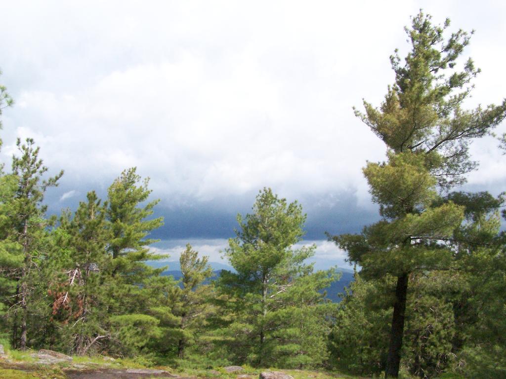

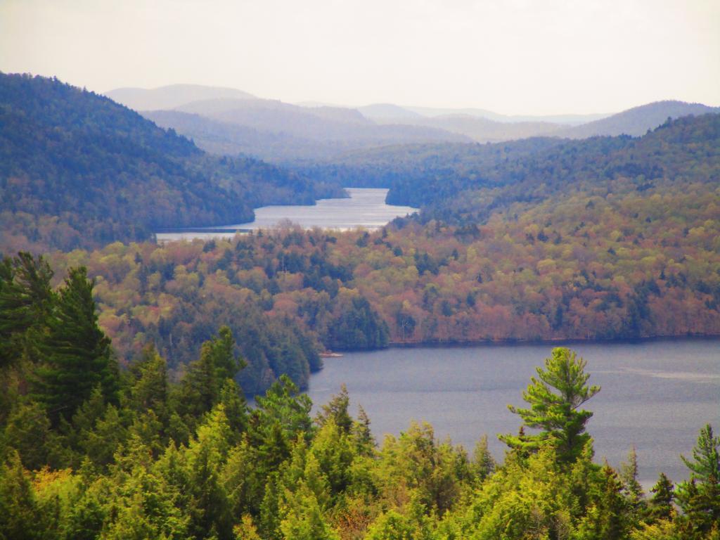
Forks of Indian Lake

Middleburgh Cliff
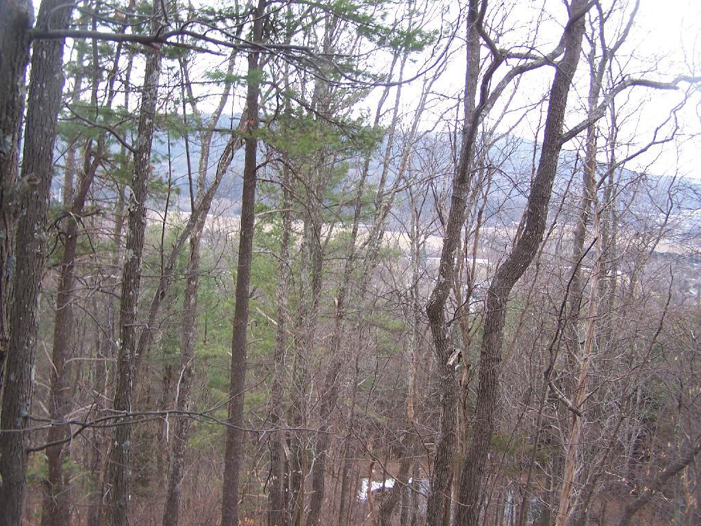
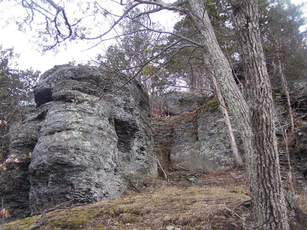
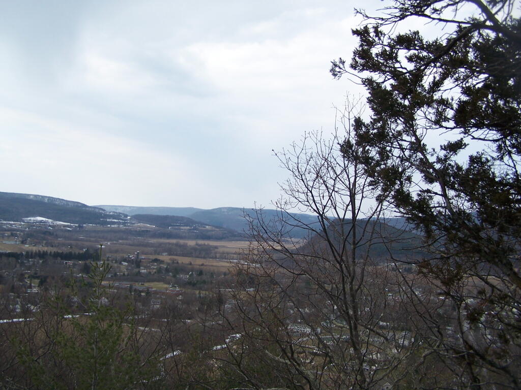
Directly to the East of Middleburgh there is a long narrow landform known as “The Cliff”. It’s a 500 foot high hill, with about 40 feet high cliffs, overlooking Middleburgh and Schoharie to the west. Cotton Hill sits above it to the east. While privately owned by the owners of the dairy farms in the valley below, the Long Path crosses it and you can use it to explore the cliffs.
As you climb the hill on the Long Path, looking backyards there are broken views.
When your almost to the top of the Cliffs, there is a quick scramble over this ridge. This is a section that is very much hand and knees, you’ll probably toss your pack up and then climb up to retrieve it.
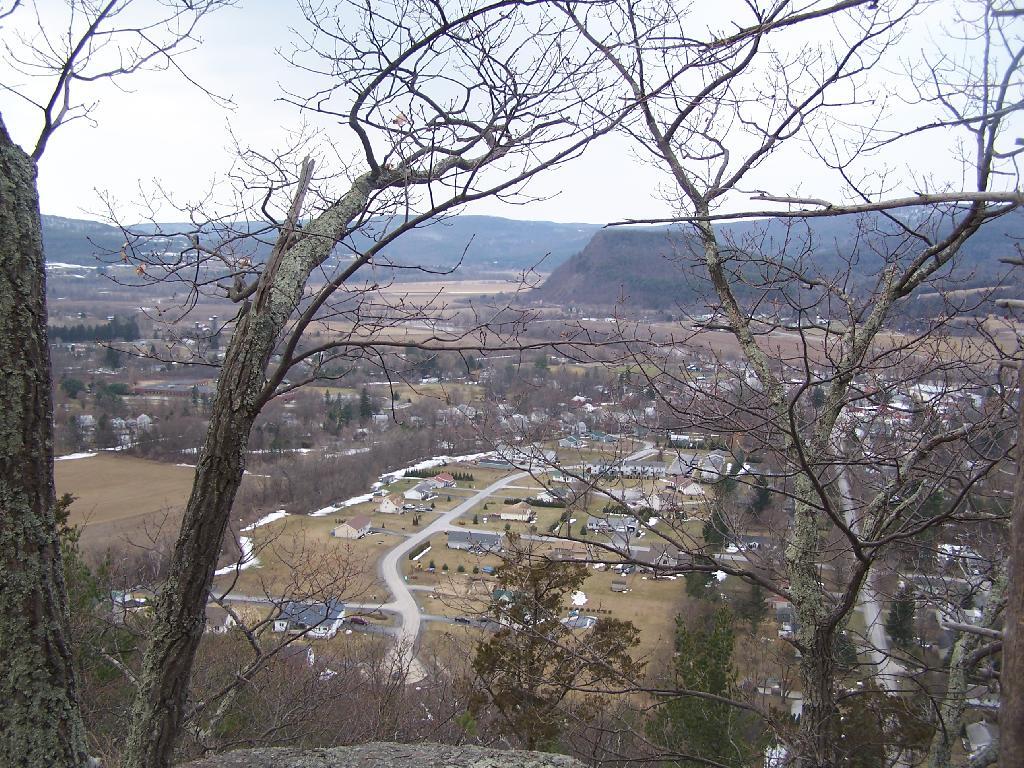
After you get to the top, you have some views to the south, including Vromans Nose.
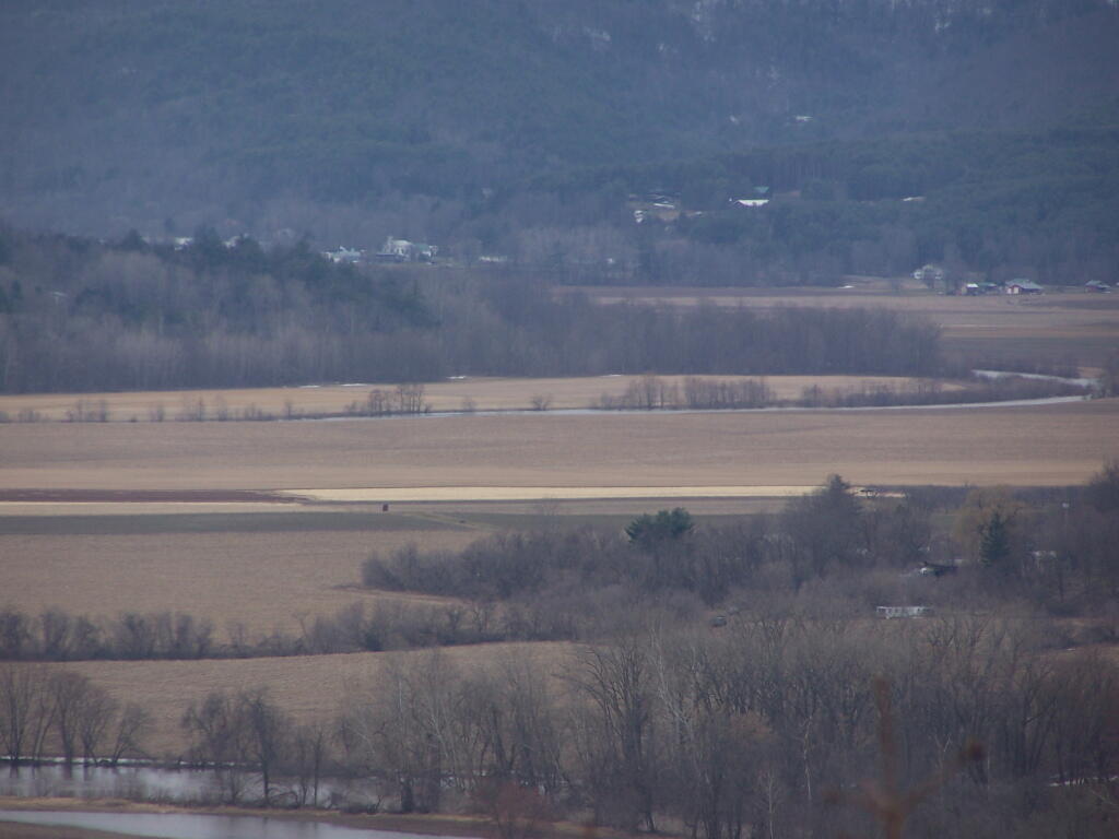
Further along the trail you get some broken and then improving views of the Schoharie Valley just north of the Middleburgh. In the background is Middleburgh Roundtop Valley, and where NY 145 climbs the ridge to get over to East Cobelskill.
The agricultural flat lands south of Middleburgh.
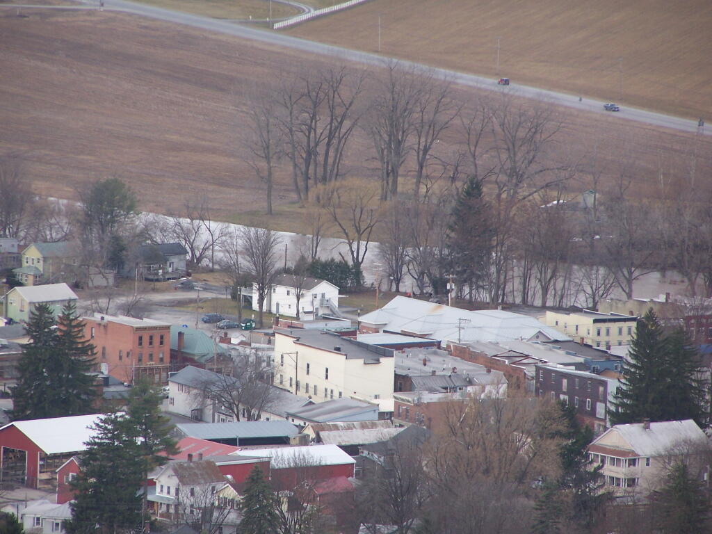
The new more suburban section of Middleburgh, with the older village in the background. I never understood why people would live out in the sticks, but also live in a suburban subdivision in a classic small village.
A dairy farm along NY 30 north of Middleburgh.
All and all, this hike doesn’t provide amazing remote lands, but still has some interesting agricultural views of the fertile Schoharie Valley. Taking no longer then a total of a 45 minutes round trip, it’s a nice hike to do with Vromans Nose or take the trail farther west to Cotton Hill Lean-To.
View Cliff of Middleburgh in a larger map
Shunning toilets 🚽
Since the pandemic and even more so in recent years when I’ve learned more about septic systems and sewage treatment plants, I’ve had more and more of a desire to piss on trees and bushes, to crap in buckets and bury the poop in the woods.
I’m not saying there okay systems in urban areas that help protect the public health from dangerous diseases like Cholera and E Coli and protect water quality from excess nitrogen and phosphorus. But the solution seems to often to landfill such substances rather than recover the nutrients.
Maybe it’s just the freedom to pee wherever you want up at camp, up at the wilderness. Flip down the tailgate and pee. Spray urine wherever. Unconcentrated it’s pretty harmless though as noted on the Blue Ridge Parkway, too many people peeing on a tree can burn it.
Outhouses and composting poop outside of the cities makes a lot of sense. While both septic tanks and sewage treatment works biodegrade some of the sludge, a lot of it is lost unless it is collected and spread, a particular concern in sewage treatment plants is pharmaceuticals and long lasting chemicals like PFAS and microplastics.
I get people’s ick factor and concerns on public health but it just seems like such a waste to send it all to the local dumping grounds.