Now Off to Albany …
You can see the city in the distance, down the Hudson River.
Saturday May 7, 2011 — Kayak the Hudson
You can see the city in the distance, down the Hudson River.
Saturday May 7, 2011 — Kayak the Hudson

I was surprised how vibrant the reds from the blueberry bushes were this time of year.
Saturday April 26, 2025 — East Branch Sacandaga River — Cod Pond Trailhead Camping Opporunities 🗺 — Eagle Pond Trail 🗺 — East Branch Gorge Trail 🗺 — East Branch Sacandaga River - NY 8 🗺 — Fox Lair Campsites 🗺— PDF with All Maps 📚


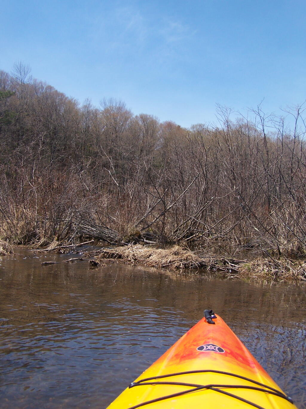
I was hoping with the higher water levels from the rain, I could paddle a ways up the creek towards the lower pond on Beaver Road. However, due to this pond being man-made and controlled by a spillway, and the beaver dam blocking the upper part of the river, I could not go any further then normally. Tubbs Pond is much to small!
Sunday May 1, 2011 — Partridge Run Game Management Area — Partridge Run WMA 🗺