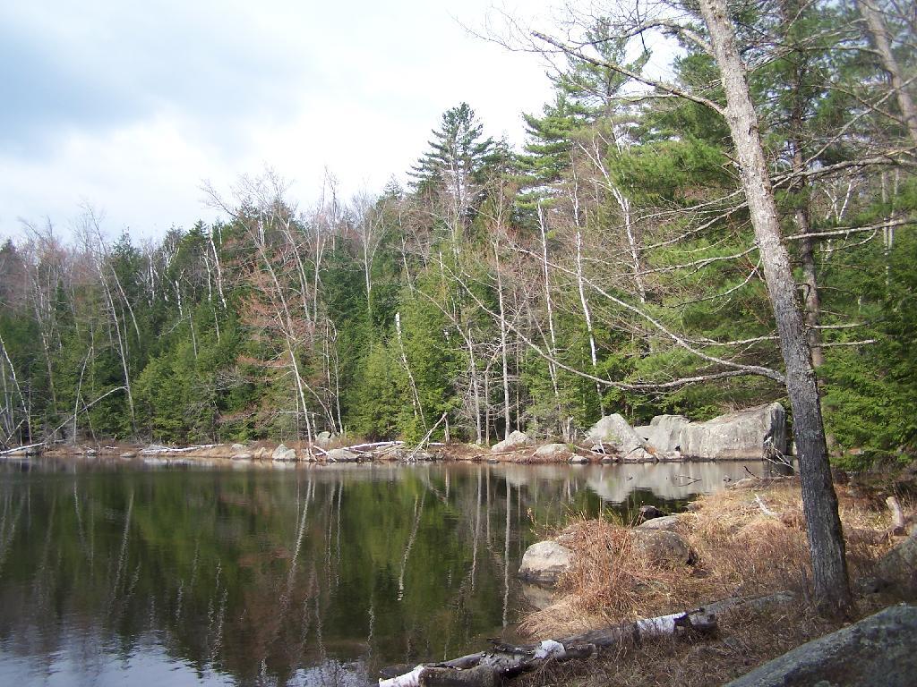
Crane Pond
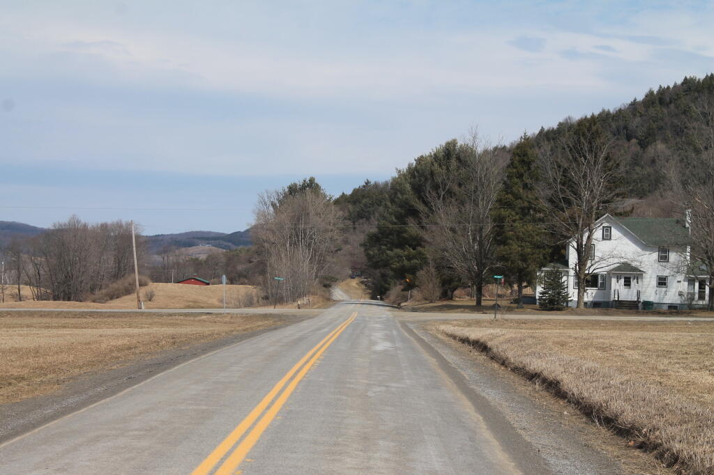
This is near where the drivable portion of Crane Pond Road comes to an end.
Sunday April 11, 2010 — Pharaoh Lake Wilderness — Berrymill Pond Trail From North 🗺 — Crane Pond 🗺 — Crane Pond Road 🗺 — Glidden Marsh To Pharaoh Lake Trail 🗺 — Goose Pond 🗺 — Goose Pond Trail 🗺 — Gull And Spectacle Pond 🗺 — Lost Pond Trail 🗺 — Pharaoh Lake Trail 🗺 — Treadway Mountain from Putnam Pond Campground 🗺— PDF with All Maps 📚