


Pond Lillies on the Marsh and Mush
Not fun at all for paddling through on the Flow. That said, if I was in the channel, it wouldn't be so hard, but I was looking for another stretch and piss spot. All that beer made for tough going in the boat.
Wednesday August 11, 2010 — Moose River Plains — Bear Pond Trail 🗺 — Beaver Lake 🗺 — Ice House Pond 🗺 — Moose River Plains Camping Area 1-30 🗺 — Moose River Plains Camping Area 123-131 🗺 — Moose River Plains Camping Area 30-40 🗺 — Moose River Plains Camping Area 41-61 🗺 — Moose River Plains Camping Area 64-74 🗺 — Moose River Plains Camping Area 71-123 🗺 — Moose River Plains Camping Area 80-110 🗺 — Moose River Plains Camping Area 80-111 🗺 — Moose River Plains Recreation Area 🗺 — Natural Rock Dam Trail 🗺— PDF with All Maps 📚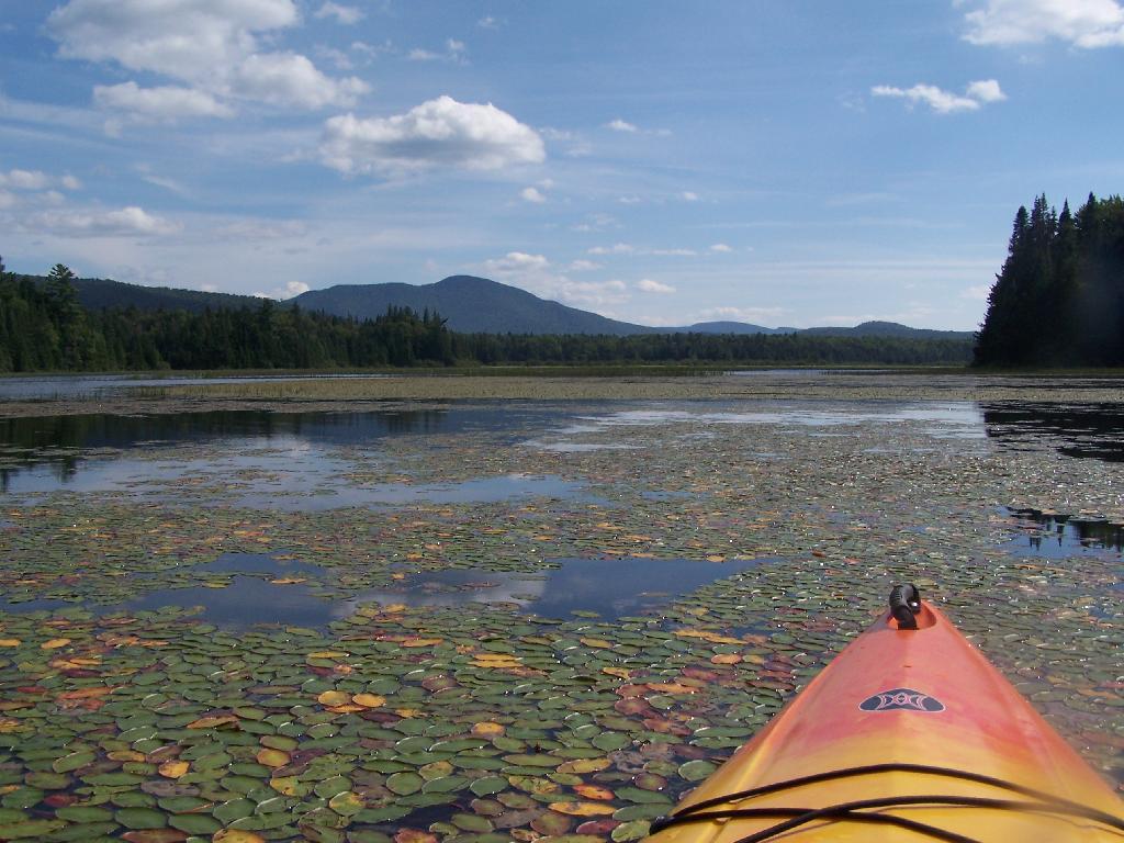

![Untitled [Expires August 29 2025]](https://andyarthur.org//data/photo_018649_large.jpg)
The Grunt of Big Red on Tan Hollow Road
Listen to the engine of Big Red on this beautiful summer evening, as I turn onto NY 443. Notice, I wasn't swearing or playing copyrighted music in this clip, so it can have audio. That doesn't happen regularly.
