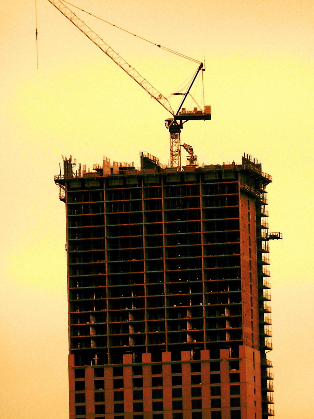
Construction

There is some land of temperate climate along Lake Chazy to allow some agricultural activity, despite the fact Altona is largely lacks farms.
Sunday October 9, 2011 — Lyon Mountain — Lyon Mountain Fire Tower 🗺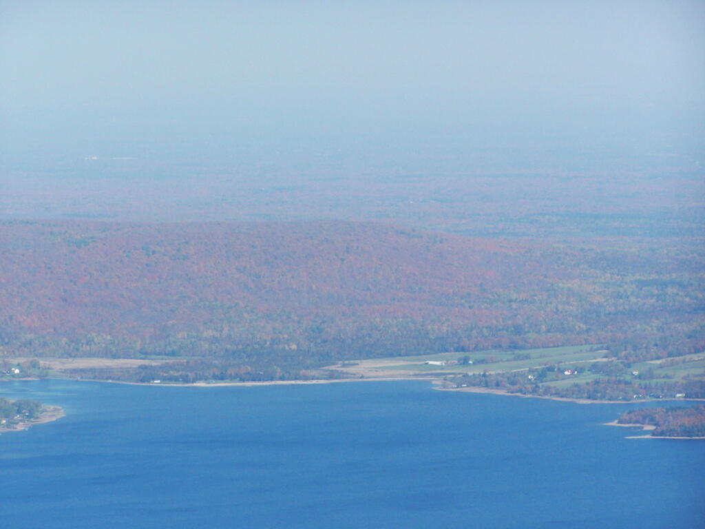

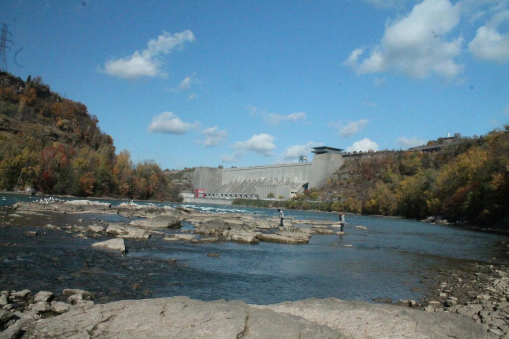


This is a along one of the sections not right along the edge, and offered a safe place to pull off.
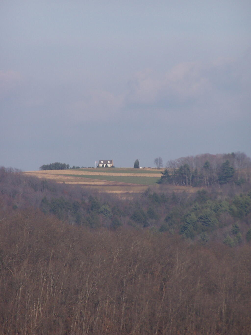
Monday November 8, 2010 — Tioga State Forest
